Enable Location

We need your location to show you interesting places around you

Discover nearby places

Find interesting locations and hidden gems around you

Precise directions

Get accurate directions and distances to places

Your location is never shared with other users. It's only used when you tap the location button.

Troyville Earthworks

Log in to your account

Start exploring — it's free

Trusted by 66,006 travelers worldwide

Continue with Google
Continue with Apple
or

We will send you a code to connect

By continuing, you accept our Terms and Conditions and our Privacy Policy

Check your inbox

We've sent a pincode in your inbox. Please enter the code below.

Troyville Earthworks
Discussion Reviews 1 Photos
4k Popularity

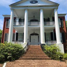
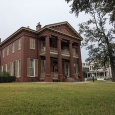
Troyville Earthworks, Archaeological site in Jonesville, Louisiana.

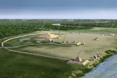
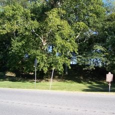
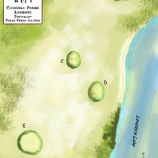
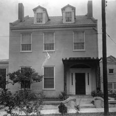
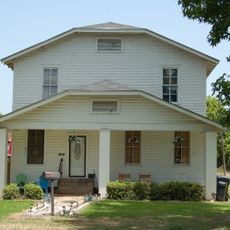
Troyville Earthworks is an archaeological site in Jonesville, Louisiana, where a group of platform mounds once surrounded by an embankment still stand today. The mounds are spread across different streets in town, near the point where three river systems come together.

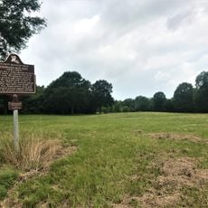
The site was built between 400 and 700 CE by Native American peoples of the Lower Mississippi Valley and served as a major regional center during that era. By the time European explorers arrived, the community that had built and used the mounds had long since moved on.

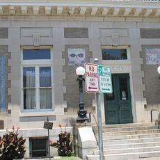
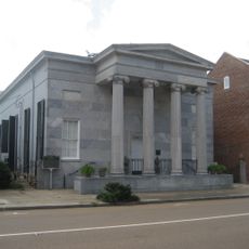
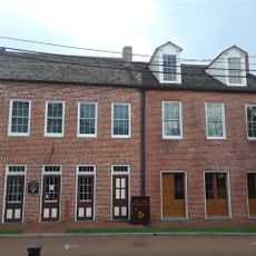
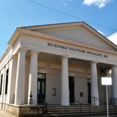
The site takes its name from the town's former name, Troyville, which Jonesville was once called. Informational markers placed around town help visitors connect what they see in the streets today with the broader story of the communities that once gathered here.

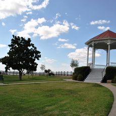
The mounds are located along Willow Street and Second Street in Jonesville and are best explored on foot. Informational markers at several points around town help orient visitors and explain how the different parts of the site relate to each other.

The builders used layers of woven cane matting, palmetto fibers, and wooden planks stacked together to give the mounds their strength. This layering method acted almost like reinforcement, which helps explain why portions of the structures have lasted so long.

The community of curious travelers

AroundUs brings together thousands of curated places, local tips, and hidden gems, enriched daily by 60,000 contributors worldwide.

Start exploring
Location
GPS coordinates
31.62680,-91.81560
Latest update
March 3, 2026 10:05
Around this place
Fort Rosalie
United States of America

Fort Rosalie

39.2 km
Natchez Bluffs and Under-the-Hill Historic District
United States of America

Natchez Bluffs and Under-the-Hill Historic District

37.6 km
Natchez–Vidalia Bridge
United States of America

Natchez–Vidalia Bridge

38.3 km
Rosalie Mansion
United States of America

Rosalie Mansion

39.3 km
Frogmore Plantation
United States of America

Frogmore Plantation

14.1 km
The Briars
United States of America

The Briars

38.5 km
Glenfield Plantation
United States of America

Glenfield Plantation

39 km
Magnolia Hall
United States of America

Magnolia Hall

39.7 km
House on Ellicott's Hill
United States of America

House on Ellicott's Hill

39.7 km
Bayou Cocodrie National Wildlife Refuge
United States of America

Bayou Cocodrie National Wildlife Refuge

19.3 km
Mamie S. Barrett
United States of America

Mamie S. Barrett

32.8 km
Richmond
United States of America

Richmond

39.6 km
Natchez Museum of African American History and Culture
United States of America

Natchez Museum of African American History and Culture

39.7 km
Commercial Bank and Banker's House
United States of America

Commercial Bank and Banker's House

39.6 km
Frogmore Mound Site
United States of America

Frogmore Mound Site

13.9 km
DePrato Mounds
United States of America

DePrato Mounds

22.7 km
Peck Mounds
United States of America

Peck Mounds

27 km
William Johnson House
United States of America

William Johnson House

39.6 km
Smith-Bontura-Evans House
United States of America

Smith-Bontura-Evans House

39.5 km
Ravennaside
United States of America

Ravennaside

39.6 km
Spring Ridge Baptist Church
United States of America

Spring Ridge Baptist Church

27.1 km
Van Court Town House
United States of America

Van Court Town House

39.4 km
Downriver Residential Historic District
United States of America

Downriver Residential Historic District

39.6 km
Concordia Parish Courthouse
United States of America

Concordia Parish Courthouse

37.3 km
Catahoula Parish Courthouse
United States of America

Catahoula Parish Courthouse

16.1 km
Zappe Boarding House
United States of America

Zappe Boarding House

25 km
Rosalie Mansion and Gardens
United States of America

Rosalie Mansion and Gardens

39.3 km
Magnolia Hall
United States of America

Magnolia Hall

39.7 km
Show the full map
Reviews
Share your experience

No review yet

Discussions
Start a discussion...

No discussion yet

« Troyville Earthworks - Archaeological site in Jonesville, Louisiana » is provided by Around Us (aroundus.com). Images and texts are derived from Wikimedia project under a Creative Commons license. You are allowed to copy, distribute, and modify copies of this page, under the conditions set by the license, as long as this note is clearly visible.

Discover hidden gems everywhere you go!

From secret cafés to breathtaking viewpoints, skip the crowded tourist spots and find places that match your style. Our app makes it easy with voice search, smart filtering, route optimization, and insider tips from travelers worldwide. Download now for the complete mobile experience.

Around Us App Screenshot

A unique approach to discovering new places

Le Figaro

All the places worth exploring

France Info

A tailor-made excursion in just a few clicks

20 Minutes

Around Us
Travel Guide & Maps
Download

Send to your phone

QR Code
1

Open the camera app on your mobile.

2

Point at the QR code with your camera. A notification will appear.

3

Tap the notification to open the link.