Ascension Parish

Log in to your account

AroundUs is a community-driven map of interesting places, built by curious explorers like you. It grows with every review, story, and photo you share.
Connect to save your favorite spots, contribute locations, and create personalized routes.
By continuing, you accept our Terms and Conditions and our Privacy Policy
Add to collection
Map
Suggest a change
Share

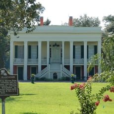
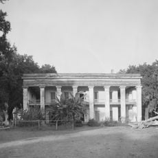
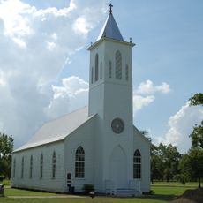
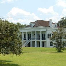
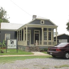
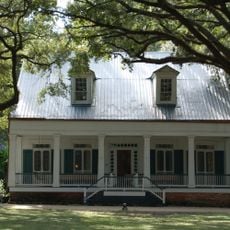
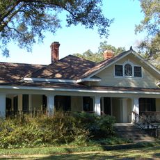
Ascension Parish, Administrative division in southeastern Louisiana, US

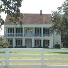
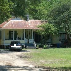
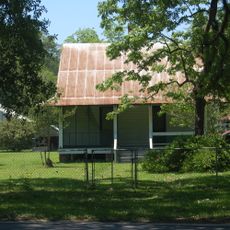
Ascension Parish is an administrative division in southeastern Louisiana that encompasses Donaldsonville and Gonzales as major towns, along with numerous smaller communities scattered throughout the region. The territory extends across river valleys and coastal areas that shape daily life and land use.

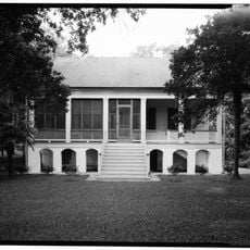
The parish was founded in 1807 when French and Spanish settlers established themselves alongside Houma Indians in this region. Over time it became a center for agricultural production and river commerce that shaped its economic identity.

The Jambalaya Festival held in Gonzales draws thousands of visitors each year to celebrate the cooking traditions rooted in French, Spanish, and African influences. The event shows how local food customs remain central to community life and identity today.

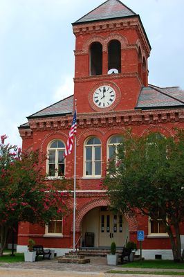
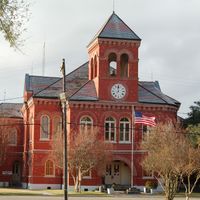
Parish government offices centered in Donaldsonville provide services such as voter registration, vehicle-related matters, and emergency preparedness assistance. Visitors should know that most services operate during standard business hours, and checking ahead about which office handles your specific need saves time.

The region experienced severe flooding in 2016 that affected one-third of all homes and forced major infrastructure improvements. The water management systems built in response to this natural disaster remain visible in the landscape today.

Location: Louisiana

Inception: March 31, 1807

Capital city: Donaldsonville

Shares border with: East Baton Rouge Parish, Livingston Parish, St. John the Baptist Parish, St. James Parish, Assumption Parish, Iberville Parish

Website: http://ascensionparish.net

GPS coordinates: 30.20000,-90.91000

Latest update: December 7, 2025 09:21

Photos
Around this place
Show the full map
Oak Alley Plantation
United States of America

Oak Alley Plantation

25.3 km
Whitney Plantation Historic District
United States of America

Whitney Plantation Historic District

30.7 km
Sunshine Bridge
United States of America

Sunshine Bridge

11.3 km
Ashland Plantation
United States of America

Ashland Plantation

8.9 km
Gramercy Bridge
United States of America

Gramercy Bridge

28.6 km
Carville Historic District
United States of America

Carville Historic District

20.8 km
LSU Hilltop Arboretum
United States of America

LSU Hilltop Arboretum

24.9 km
Evan Hall
United States of America

Evan Hall

15.8 km
Baton Rouge Louisiana Temple
United States of America

Baton Rouge Louisiana Temple

26.3 km
St. Gabriel Roman Catholic Church
United States of America

St. Gabriel Roman Catholic Church

19.4 km
Laura Plantation
United States of America

Laura Plantation

27.8 km
St. Emma Plantation
United States of America

St. Emma Plantation

17.4 km
Blue Bayou Water Park
United States of America

Blue Bayou Water Park

19.6 km
River Road African American Museum
United States of America

River Road African American Museum

13.4 km
Palo Alto Plantation
United States of America

Palo Alto Plantation

16.8 km
Robert Penn Warren House
United States of America

Robert Penn Warren House

13.5 km
Olive Jeanette
United States of America

Olive Jeanette

27.1 km
Church of the Assumption of the Blessed Virgin Mary
United States of America

Church of the Assumption of the Blessed Virgin Mary

25.8 km
Mulberry Grove
United States of America

Mulberry Grove

12.2 km
Landry Tomb
United States of America

Landry Tomb

13.4 km
Mather House
United States of America

Mather House

24.6 km
St. John Baptist Church
United States of America

St. John Baptist Church

24.3 km
Decareaux House
United States of America

Decareaux House

15.3 km
Castleberry Boarding House
United States of America

Castleberry Boarding House

15.8 km
Deslattes House
United States of America

Deslattes House

15.3 km
Adam Lobell House
United States of America

Adam Lobell House

15.2 km
Santa Maria Plantation
United States of America

Santa Maria Plantation

19 km
Graugnard Farms Plantation
United States of America

Graugnard Farms Plantation

23.9 km
Show the full map
Reviews

Visited this place? Tap the stars to rate it and share your experience / photos with the community! Try now! You can cancel it anytime.

Administrative divisions
« Ascension Parish - Administrative division in southeastern Louisiana, US » is provided by Around Us (aroundus.com). Images and texts are derived from Wikimedia project under a Creative Commons license. You are allowed to copy, distribute, and modify copies of this page, under the conditions set by the license, as long as this note is clearly visible.

Discover hidden gems everywhere you go!

From secret cafés to breathtaking viewpoints, skip the crowded tourist spots and find places that match your style. Our app makes it easy with voice search, smart filtering, route optimization, and insider tips from travelers worldwide. Download now for the complete mobile experience.

Around Us App Screenshot

A unique approach to discovering new places

Le Figaro

All the places worth exploring

France Info

A tailor-made excursion in just a few clicks

20 Minutes