Chest opened
+${chestReward.xp} XP
Explorer
NOUVEAU ×${chestReward.collectible.quantity}
tapez pour fermer

See the monuments around you in AR Open chests in the app

Around Us is built for your phone — point your camera at the streets and discover the monuments and places around you in augmented reality. Around Us is built for your phone — chests unlock when you walk, explore and capture nearby places.

Enable Location

We need your location to show you interesting places around you

Discover nearby places

Find interesting locations and hidden gems around you

Precise directions

Get accurate directions and distances to places

Your location is never shared with other users. It's only used when you tap the location button.

Big Black River

Log in to your account

Start exploring — it's free

Trusted by 84,991 travelers worldwide

Continue with Google
Continue with Apple
or

We will send you a code to connect

By continuing, you accept our Terms and Conditions and our Privacy Policy

Check your inbox

We've sent a pincode in your inbox. Please enter the code below.

Big Black River
Discussion Reviews 1 Photos
9.2k Popularity

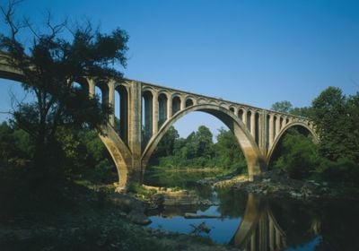
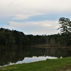
Big Black River, River system in Mississippi, United States

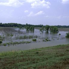
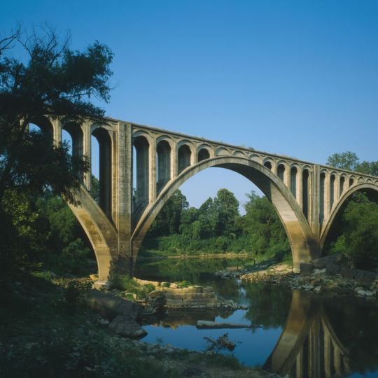
The Big Black River is a river system in Mississippi that flows approximately 330 miles southwest from Webster County. It eventually joins the Mississippi River near Vicksburg, creating a significant waterway through the state.

The river held strategic importance during the American Civil War in 1863 when the Battle of Big Black River Bridge took place there. This battle became a key moment leading up to the Siege of Vicksburg.

Native American settlements along the river banks established relationships with the water source, leaving archaeological evidence of their presence through generations.

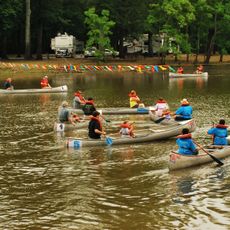
The river supports various water activities and serves as an important water source for irrigation in surrounding agricultural areas. Water levels vary seasonally, which can affect access to certain sections for visitors and recreational use.

The river takes its name from its dark coloration, caused by tannin from surrounding forests seeping into the water. This natural tint is one of the most recognizable features when viewing the waterway.

The community of curious travelers

AroundUs brings together thousands of curated places, local tips, and hidden gems, enriched daily by 60,000 contributors worldwide.
Start exploring
GPS coordinates
32.72867,-90.07719
Latest update
August 30, 2026 12:51
Around this place
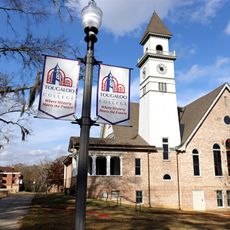
Tougaloo College
United States of America

Tougaloo College

23.1 mi
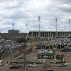
Mississippi Veterans Memorial Stadium
United States of America

Mississippi Veterans Memorial Stadium

28.2 mi
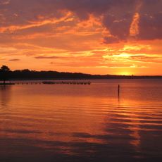
Ross Barnett Reservoir
United States of America

Ross Barnett Reservoir

19.2 mi
United States of America

True South Classic

23 mi
Lanier High School
United States of America

Lanier High School

29.4 mi
Mississippi Petrified Forest
United States of America

Mississippi Petrified Forest

20.3 mi
Jackson Zoo
United States of America

Jackson Zoo

29.5 mi
Fountainhead
United States of America

Fountainhead

27.7 mi
Eudora Welty House
United States of America

Eudora Welty House

29 mi
LeFleur's Bluff State Park
United States of America

LeFleur's Bluff State Park

27.8 mi
Chapel of the Cross
United States of America

Chapel of the Cross

15.8 mi
Pocahontas Mounds
United States of America

Pocahontas Mounds

21.8 mi
Panther Swamp National Wildlife Refuge
United States of America

Panther Swamp National Wildlife Refuge

28.8 mi
Boyd Mounds Site
United States of America

Boyd Mounds Site

19.1 mi
Manship House
United States of America

Manship House

29.4 mi
Holmes County State Park
United States of America

Holmes County State Park

22.8 mi
Afro-American Sons and Daughters Hospital
United States of America

Afro-American Sons and Daughters Hospital

20.8 mi
Mississippi Children's Museum
United States of America

Mississippi Children's Museum

28.1 mi
Castle Crest
United States of America

Castle Crest

27.7 mi
Montgomery House
United States of America

Montgomery House

18.6 mi
Ricks Memorial Library
United States of America

Ricks Memorial Library

21.2 mi
Sub Rosa
United States of America

Sub Rosa

23.5 mi
John F. Cates House
United States of America

John F. Cates House

27.7 mi
Warren-Guild-Simmons House
United States of America

Warren-Guild-Simmons House

28.8 mi
Augustus J. Oakes House
United States of America

Augustus J. Oakes House

21.1 mi
Medgar and Myrlie Evers Home National Monument
United States of America

Medgar and Myrlie Evers Home National Monument

28 mi
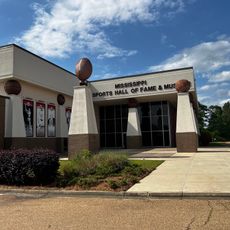
Mississippi Sports Hall of Fame & Museum
United States of America

Mississippi Sports Hall of Fame & Museum

27.5 mi
Eudora Welty House
United States of America

Eudora Welty House

29 mi
Show the full map
Reviews
Share your experience

No review yet

Discussions
Start a discussion...

No discussion yet

« Big Black River - River system in Mississippi, United States » is provided by Around Us (aroundus.com). Images and texts are derived from Wikimedia project under a Creative Commons license. You are allowed to copy, distribute, and modify copies of this page, under the conditions set by the license, as long as this note is clearly visible.

Discover hidden gems everywhere you go!

From secret cafés to breathtaking viewpoints, skip the crowded tourist spots and find places that match your style. Our app makes it easy with voice search, smart filtering, route optimization, and insider tips from travelers worldwide. Download now for the complete mobile experience.
Around Us App Screenshot

A unique approach to discovering new places

Le Figaro

All the places worth exploring

France Info

A tailor-made excursion in just a few clicks

20 Minutes

Around Us
Travel Guide & Maps
Download

Send to your phone

QR Code
1

Open the camera app on your mobile.

2

Point at the QR code with your camera. A notification will appear.

3

Tap the notification to open the link.