Bossier Parish

Log in to your account

AroundUs is a community-driven map of interesting places, built by curious explorers like you. It grows with every review, story, and photo you share.
Connect to save your favorite spots, contribute locations, and create personalized routes.
Continue with Google
Continue with Apple
Continue with X
Continue with Facebook
Continue with email
By continuing, you accept our Terms and Conditions and our Privacy Policy
Create an account
Add to collection
Map
Suggest a change
Share

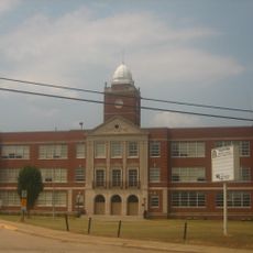
Bossier Parish, Administrative division in northwestern Louisiana, United States.

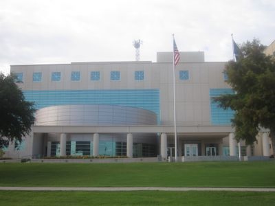
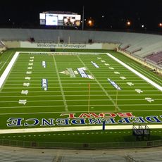
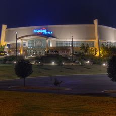
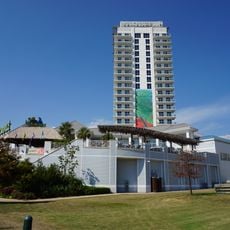
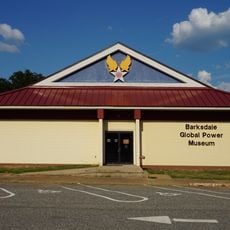
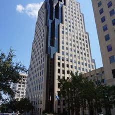
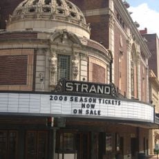
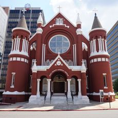
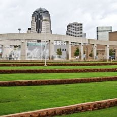
Bossier Parish is an administrative district in northwestern Louisiana composed of multiple communities and small towns. The area features a mix of developed zones and natural spaces, with the Red River forming a geographic feature throughout the region.

The district was founded in 1843 and named after Pierre Bossier, a Louisiana state senator. Its origins trace back to early French and Spanish colonial periods that shaped settlement and land use patterns.

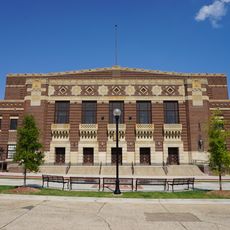
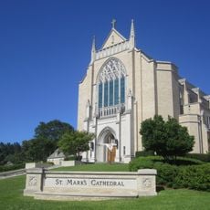
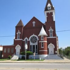
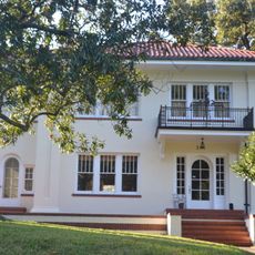
The region carries Southern traditions rooted in early settlement patterns and agricultural heritage that still shape community life today. Local residents maintain connections to these patterns through their customs and how they use the land.

The area is best explored by car, as communities are spread across a rural and developed landscape. Visitors should expect varying conditions depending on whether they are in town centers or outlying areas.

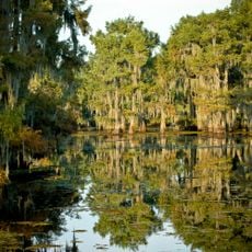
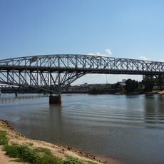
The Red River forms a natural boundary with neighboring Caddo Parish and has historically shaped economic and social patterns across the district. This waterway remains central to understanding how communities developed and function today.

Location: Louisiana

Inception: 1843

Capital city: Benton

Shares border with: Lafayette County, Miller County, Webster Parish, Bienville Parish, Red River Parish, Caddo Parish

Website: http://bossierparishla.gov

GPS coordinates: 32.68000,-93.60000

Latest update: December 20, 2025 12:16

Photos
Around this place
Independence Stadium
United States of America

Independence Stadium

29 km
C. E. Byrd High School
United States of America

C. E. Byrd High School

26.1 km
CenturyLink Center
United States of America

CenturyLink Center

24.9 km
Shreveport Municipal Memorial Auditorium
United States of America

Shreveport Municipal Memorial Auditorium

23.9 km
Margaritaville Resort Casino
United States of America

Margaritaville Resort Casino

22.4 km
Eighth Air Force Museum
United States of America

Eighth Air Force Museum

20.3 km
Lake Bistineau State Park
United States of America

Lake Bistineau State Park

33.4 km
Shreveport Aquarium
United States of America

Shreveport Aquarium

22.7 km
Fair Park Medical Careers Magnet High School
United States of America

Fair Park Medical Careers Magnet High School

28.6 km
Regions Tower
United States of America

Regions Tower

23.1 km
United States of America

Belcher Mound Site

22.5 km
Bossier High School
United States of America

Bossier High School

21.6 km
Strand Theatre
United States of America

Strand Theatre

23.5 km
Holy Trinity Catholic Church
United States of America

Holy Trinity Catholic Church

23.3 km
Long-Allen Bridge
United States of America

Long-Allen Bridge

22.5 km
Cathedral of St. John Berchmans
United States of America

Cathedral of St. John Berchmans

24.8 km
First United Methodist Church
United States of America

First United Methodist Church

23.7 km
B'Nai Zion Temple
United States of America

B'Nai Zion Temple

23.5 km
RiverView Theater
United States of America

RiverView Theater

22.8 km
St. Mark's Cathedral
United States of America

St. Mark's Cathedral

26 km
United States of America

Meadows Museum of Art

25.2 km
Shreveport Waterworks Pumping Station
United States of America

Shreveport Waterworks Pumping Station

23.3 km
Antioch Baptist Church
United States of America

Antioch Baptist Church

24.3 km
Huey P. Long House
United States of America

Huey P. Long House

25.7 km
United States of America

Wallace Lake

40.1 km
Shreveport Opera
United States of America

Shreveport Opera

23 km
United States of America

A.C. Steere Elementary School

26.3 km
United States of America

Cashpoint Plantation House

33.6 km
Show the full map
Reviews

Visited this place? Tap the stars to rate it and share your experience / photos with the community! Try now! You can cancel it anytime.

« Bossier Parish - Administrative division in northwestern Louisiana, United States » is provided by Around Us (aroundus.com). Images and texts are derived from Wikimedia project under a Creative Commons license. You are allowed to copy, distribute, and modify copies of this page, under the conditions set by the license, as long as this note is clearly visible.

Discover hidden gems everywhere you go!

From secret cafés to breathtaking viewpoints, skip the crowded tourist spots and find places that match your style. Our app makes it easy with voice search, smart filtering, route optimization, and insider tips from travelers worldwide. Download now for the complete mobile experience.

Around Us App Screenshot

A unique approach to discovering new places

Le Figaro

All the places worth exploring

France Info

A tailor-made excursion in just a few clicks

20 Minutes