Chest opened
+${chestReward.xp} XP
Explorer
NOUVEAU ×${chestReward.collectible.quantity}
tapez pour fermer
Chest locked

Open chests in the app

Around Us is built for your phone — chests unlock when you walk, explore and capture nearby places.

Enable Location

We need your location to show you interesting places around you

Discover nearby places

Find interesting locations and hidden gems around you

Precise directions

Get accurate directions and distances to places

Your location is never shared with other users. It's only used when you tap the location button.

De Queen

Log in to your account

Start exploring — it's free

Trusted by 72,886 travelers worldwide

Continue with Google
Continue with Apple
or

We will send you a code to connect

By continuing, you accept our Terms and Conditions and our Privacy Policy

Check your inbox

We've sent a pincode in your inbox. Please enter the code below.

Discussion Reviews 1 Photos
15.6k Popularity

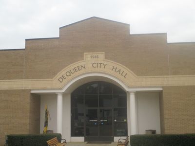
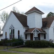
De Queen, County seat in Sevier County, Arkansas, United States

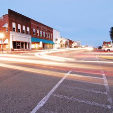
De Queen is the county seat of Sevier County in southwestern Arkansas, spread across roughly 6 square miles with developed areas and natural water features throughout. The town serves as the administrative and economic center of the region.

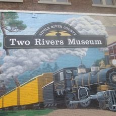
The town took its name from a Dutch coffee merchant who provided funding for railroad development in the 1890s. This link to early railroad expansion shaped the community's growth and economic direction.

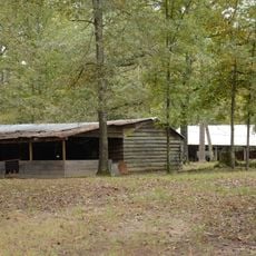
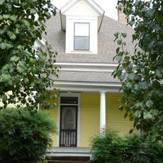
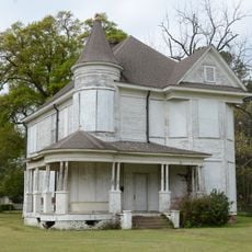
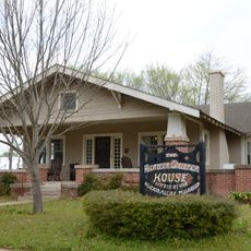
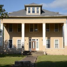
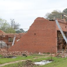
The Sevier County Museum displays exhibits related to local heritage, including a 1940s house and an antique village that show how early settlers lived.

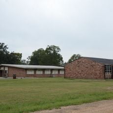
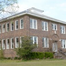
The town has schools and a community college that reflect the local infrastructure available to visitors. Nearby lakes offer recreational options in the surrounding area.

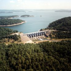
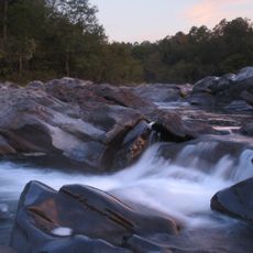
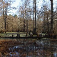
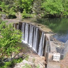
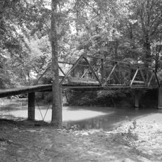
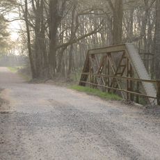
Three large lakes - De Queen Lake, Dierks Lake, and Gillham Lake - surround the town and form an extensive water system. These lakes support diverse wildlife and shape the landscape that many visitors overlook when passing through.

The community of curious travelers

AroundUs brings together thousands of curated places, local tips, and hidden gems, enriched daily by 60,000 contributors worldwide.

Start exploring
GPS coordinates
34.03789,-94.34132
Latest update
December 7, 2025 19:29
Around this place
Broken Bow Lake
United States of America

Broken Bow Lake

35.8 km
Beavers Bend Resort Park
United States of America

Beavers Bend Resort Park

33.8 km
Cossatot River State Park-Natural Area
United States of America

Cossatot River State Park-Natural Area

32.8 km
Little River National Wildlife Refuge
United States of America

Little River National Wildlife Refuge

41.1 km
Shady Lake Recreation Area
United States of America

Shady Lake Recreation Area

46 km
Ebenezer Campground
United States of America

Ebenezer Campground

34.7 km
St. Barnabas Episcopal Church
United States of America

St. Barnabas Episcopal Church

34.5 km
Elbert W. Holt House
United States of America

Elbert W. Holt House

45.9 km
Mineral Springs Waterworks
United States of America

Mineral Springs Waterworks

42.8 km
Little River County Courthouse
United States of America

Little River County Courthouse

45 km
Judge Jefferson Thomas Cowling House
United States of America

Judge Jefferson Thomas Cowling House

44.5 km
Little Cossatot River Bridge
United States of America

Little Cossatot River Bridge

14.4 km
Hale Creek Bridge
United States of America

Hale Creek Bridge

15.1 km
First United Methodist Church
United States of America

First United Methodist Church

18 km
Hunter-Coulter House
United States of America

Hunter-Coulter House

45 km
Hawkins House
United States of America

Hawkins House

35.4 km
DeQueen Commercial Historic District
United States of America

DeQueen Commercial Historic District

121 m
Hayes Hardware Store
United States of America

Hayes Hardware Store

49 m
Ashdown Commercial Historic District
United States of America

Ashdown Commercial Historic District

44.9 km
First Presbyterian Church
United States of America

First Presbyterian Church

271 m
Bishop Brookes House
United States of America

Bishop Brookes House

334 m
Otis Theodore and Effiegene Locke Wingo House
United States of America

Otis Theodore and Effiegene Locke Wingo House

315 m
Little River County Training School Historic District
United States of America

Little River County Training School Historic District

45.4 km
S.S.P. Mills and Son Building
United States of America

S.S.P. Mills and Son Building

37.6 km
King Schoolhouse
United States of America

King Schoolhouse

12.8 km
Lockesburg Waterworks
United States of America

Lockesburg Waterworks

17.8 km
Beaver's Bend Mining Company
United States of America

Beaver's Bend Mining Company

40 km
Williams Theater
United States of America

Williams Theater

44.9 km
Show the full map
Reviews
Share your experience

No review yet

Discussions
Start a discussion...

No discussion yet

« De Queen - County seat in Sevier County, Arkansas, United States » is provided by Around Us (aroundus.com). Images and texts are derived from Wikimedia project under a Creative Commons license. You are allowed to copy, distribute, and modify copies of this page, under the conditions set by the license, as long as this note is clearly visible.

Discover hidden gems everywhere you go!

From secret cafés to breathtaking viewpoints, skip the crowded tourist spots and find places that match your style. Our app makes it easy with voice search, smart filtering, route optimization, and insider tips from travelers worldwide. Download now for the complete mobile experience.

Around Us App Screenshot

A unique approach to discovering new places

Le Figaro

All the places worth exploring

France Info

A tailor-made excursion in just a few clicks

20 Minutes

Around Us
Travel Guide & Maps
Download

Send to your phone

QR Code
1

Open the camera app on your mobile.

2

Point at the QR code with your camera. A notification will appear.

3

Tap the notification to open the link.