Chicot County

Log in to your account

AroundUs is a community-driven map of interesting places, built by curious explorers like you. It grows with every review, story, and photo you share.
Connect to save your favorite spots, contribute locations, and create personalized routes.
Continue with Google
Continue with Apple
Continue with X
Continue with Facebook
Continue with email
By continuing, you accept our Terms and Conditions and our Privacy Policy
Create an account
Add to collection
Map
Suggest a change
Share

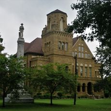
Chicot County, Administrative division in southeastern Arkansas, United States.

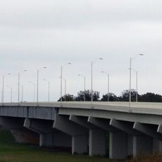
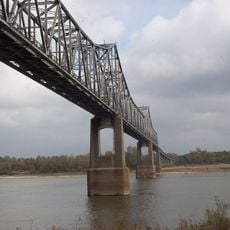
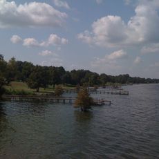
Chicot County is an administrative division in southeastern Arkansas that borders the Mississippi River. The landscape features agricultural land, waterways, and Lake Chicot, which is the largest body of water within its boundaries.

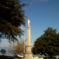
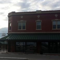
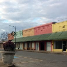
The county was established in 1823 as one of Arkansas's earliest administrative divisions. The region grew into a major cotton-producing center that shaped its economy for over a century.

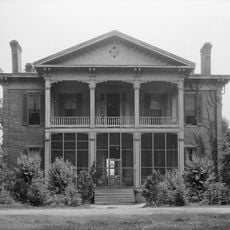
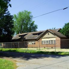
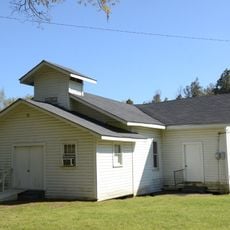
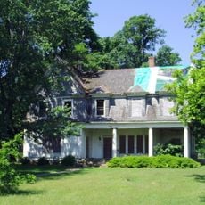
The county's population carries strong African American roots connected to Delta agricultural traditions that shaped the region for generations. These heritage connections are visible in the community's architecture, traditions, and how people live together today.

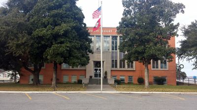
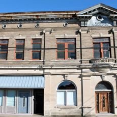
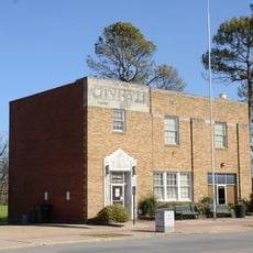
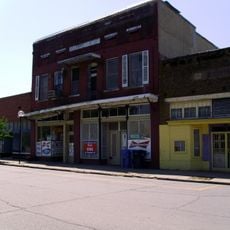
Lake Village functions as the county seat where government services and main businesses are located. Visitors need their own transportation to navigate the area comfortably, as public transit options are limited here.

Lake Chicot within the county is the largest oxbow lake in North America, formed from an ancient river curve. This natural formation attracts fish and waterbirds, making it a special place for anyone interested in wildlife and water landscapes.

GPS coordinates: 33.25367,-91.30270

Latest update: December 7, 2025 20:25

Photos
Around this place
Greenville Bridge
United States of America

Greenville Bridge

14.3 km
Winterville Site
United States of America

Winterville Site

34.2 km
Benjamin G. Humphreys Bridge
United States of America

Benjamin G. Humphreys Bridge

14.1 km
Belmont Plantation
United States of America

Belmont Plantation

25.2 km
Lake Chicot State Park
United States of America

Lake Chicot State Park

16.3 km
Junius R. Ward House
United States of America

Junius R. Ward House

29.1 km
First National Bank of Greenville
United States of America

First National Bank of Greenville

28.3 km
Wetherbee House
United States of America

Wetherbee House

28.5 km
Lake Village Confederate Monument
United States of America

Lake Village Confederate Monument

8.9 km
Chicot County Training School
United States of America

Chicot County Training School

33.8 km
First Baptist Church
United States of America

First Baptist Church

18.5 km
Greenville Commercial Historic District
United States of America

Greenville Commercial Historic District

28.3 km
Bank of Washington
United States of America

Bank of Washington

28.4 km
Chicot County Courthouse
United States of America

Chicot County Courthouse

9.1 km
American Legion Post No. 127 Building
United States of America

American Legion Post No. 127 Building

16.4 km
Washington County Courthouse
United States of America

Washington County Courthouse

28.9 km
M.E. Davis House
United States of America

M.E. Davis House

33.3 km
Washington School
United States of America

Washington School

29.7 km
Carlton House
United States of America

Carlton House

8.2 km
Dermott Bank & Trust Company Building
United States of America

Dermott Bank & Trust Company Building

32.9 km
John Tushek Building
United States of America

John Tushek Building

8.9 km
Eudora City Hall
United States of America

Eudora City Hall

16.4 km
Lake Village Commercial Historic District
United States of America

Lake Village Commercial Historic District

8.8 km
Naff House
United States of America

Naff House

18.7 km
Old Delta Democrat Times Building
United States of America

Old Delta Democrat Times Building

28.3 km
Crenshaw-Burleigh House
United States of America

Crenshaw-Burleigh House

32.9 km
Dr. A.G. Anderson House
United States of America

Dr. A.G. Anderson House

16.5 km
Dermott Commercial Historic District
United States of America

Dermott Commercial Historic District

32.9 km
Show the full map
Reviews

Visited this place? Tap the stars to rate it and share your experience / photos with the community! Try now! You can cancel it anytime.

« Chicot County - Administrative division in southeastern Arkansas, United States » is provided by Around Us (aroundus.com). Images and texts are derived from Wikimedia project under a Creative Commons license. You are allowed to copy, distribute, and modify copies of this page, under the conditions set by the license, as long as this note is clearly visible.

Discover hidden gems everywhere you go!

From secret cafés to breathtaking viewpoints, skip the crowded tourist spots and find places that match your style. Our app makes it easy with voice search, smart filtering, route optimization, and insider tips from travelers worldwide. Download now for the complete mobile experience.

Around Us App Screenshot

A unique approach to discovering new places

Le Figaro

All the places worth exploring

France Info

A tailor-made excursion in just a few clicks

20 Minutes