Enable Location

We need your location to show you interesting places around you

Discover nearby places

Find interesting locations and hidden gems around you

Precise directions

Get accurate directions and distances to places

Your location is never shared with other users. It's only used when you tap the location button.

Lucedale

Log in to your account

Start exploring — it's free

Trusted by 63,952 travelers worldwide

Continue with Google
Continue with Apple
or

We will send you a code to connect

By continuing, you accept our Terms and Conditions and our Privacy Policy

Check your inbox

We've sent a pincode in your inbox. Please enter the code below.

Discussion Reviews 1 Photos
16.3k Popularity

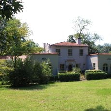
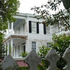
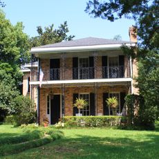
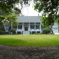
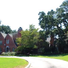
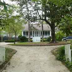
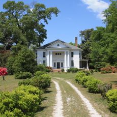
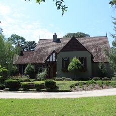
Lucedale, human settlement in George County, Mississippi, United States of America

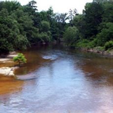
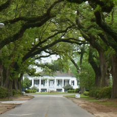
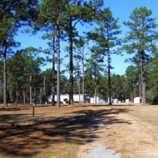
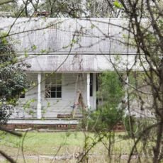
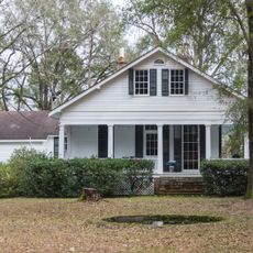
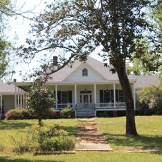
Lucedale is a city in George County, Mississippi, established in 1901 and situated in Southeast Mississippi about 40 miles from Mobile. The city features several parks with playgrounds and sports facilities, a public library, and the Lucedale Depot Greenway with walking trails, a boardwalk, and fishing ponds.

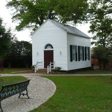
The town was established in 1901 when Governor A. H. Longino signed the proclamation forming it with an initial 332 residents. By 1977, population growth led to its official designation as a city rather than a town.

The town hosts a Shakespeare festival every two years where performers in period costumes bring scenes from the plays to the city park. This event shows how the community brings together learning, drama, and outdoor gatherings in a way that reflects local values.

Visitors can explore the city park with playground equipment and splash pad, the Milton Murrah Ball Field Complex for sports, and the Lucedale Depot Greenway with accessible trails and a boardwalk. The public library and several parks offer year-round activities suitable for families and all ages.

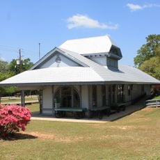
The Depot Greenway occupies the grounds of a historic railroad station, merging nature with local history. Beyond its walking trails and fishing spots, it serves as a place where the town's past remains present and accessible to visitors.

The community of curious travelers

AroundUs brings together thousands of curated places, local tips, and hidden gems, enriched daily by 60,000 contributors worldwide.

Start exploring
Location
Elevation above the sea
90 m
GPS coordinates
30.91970,-88.59170
Latest update
February 17, 2026 02:20
Around this place
United States of America

Hancock Whitney Stadium

45.6 km
Mobile Museum of Art
United States of America

Mobile Museum of Art

48.2 km
Black Creek Wilderness
United States of America

Black Creek Wilderness

42.2 km
Mobile Botanical Gardens
United States of America

Mobile Botanical Gardens

47.9 km
Stewartfield
United States of America

Stewartfield

49.8 km
Sodality Chapel
United States of America

Sodality Chapel

50.3 km
Magee Farm
United States of America

Magee Farm

42.3 km
James Arthur Morrison House
United States of America

James Arthur Morrison House

49.2 km
Carolina Hall
United States of America

Carolina Hall

49.8 km
19th Century Spring Hill Neighborhood TR
United States of America

19th Century Spring Hill Neighborhood TR

49.6 km
Beal-Gaillard House
United States of America

Beal-Gaillard House

50.3 km
Roberts House
United States of America

Roberts House

49.6 km
Collins-Robinson House
United States of America

Collins-Robinson House

48.9 km
N.Q. and Virginia M. Thompson House
United States of America

N.Q. and Virginia M. Thompson House

39.8 km
Ross Knox House
United States of America

Ross Knox House

49.5 km
Red Creek Wildlife Management Area (Mississippi)
United States of America

Red Creek Wildlife Management Area (Mississippi)

38.1 km
Robert L. Spotswood House
United States of America

Robert L. Spotswood House

49.2 km
Citronelle Railroad Historic District
United States of America

Citronelle Railroad Historic District

39.3 km
Vernal Presbyterian Church
United States of America

Vernal Presbyterian Church

12.9 km
Saint Paul's Episcopal Chapel
United States of America

Saint Paul's Episcopal Chapel

49.8 km
Center–Gaillard House
United States of America

Center–Gaillard House

50 km
Leaf River Bridge
United States of America

Leaf River Bridge

31.6 km
Collins-Marston House
United States of America

Collins-Marston House

49.1 km
Tanner Farmhouse
United States of America

Tanner Farmhouse

23.7 km
Willis G. Clark House
United States of America

Willis G. Clark House

37.6 km
Davis-Oak Grove District
United States of America

Davis-Oak Grove District

39.2 km
Central Core Historic District
United States of America

Central Core Historic District

40.1 km
Barr's Subdivision Historic District
United States of America

Barr's Subdivision Historic District

38.7 km
Show the full map
Reviews
Share your experience

No review yet

Discussions
Start a discussion...

No discussion yet

« Lucedale - human settlement in George County, Mississippi, United States of America » is provided by Around Us (aroundus.com). Images and texts are derived from Wikimedia project under a Creative Commons license. You are allowed to copy, distribute, and modify copies of this page, under the conditions set by the license, as long as this note is clearly visible.

Discover hidden gems everywhere you go!

From secret cafés to breathtaking viewpoints, skip the crowded tourist spots and find places that match your style. Our app makes it easy with voice search, smart filtering, route optimization, and insider tips from travelers worldwide. Download now for the complete mobile experience.

Around Us App Screenshot

A unique approach to discovering new places

Le Figaro

All the places worth exploring

France Info

A tailor-made excursion in just a few clicks

20 Minutes

Around Us
Travel Guide & Maps
Download

Send to your phone

QR Code
1

Open the camera app on your mobile.

2

Point at the QR code with your camera. A notification will appear.

3

Tap the notification to open the link.