Walton County

Log in to your account

AroundUs is a community-driven map of interesting places, built by curious explorers like you. It grows with every review, story, and photo you share.
Connect to save your favorite spots, contribute locations, and create personalized routes.
By continuing, you accept our Terms and Conditions and our Privacy Policy
Add to collection
Map
Suggest a change
Share

Walton County, County in Florida Panhandle, United States

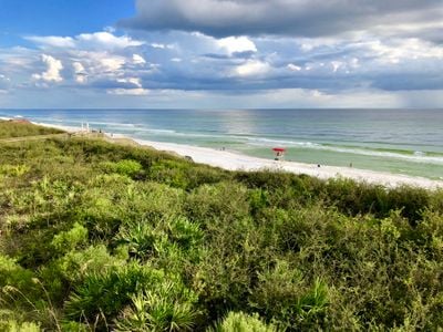
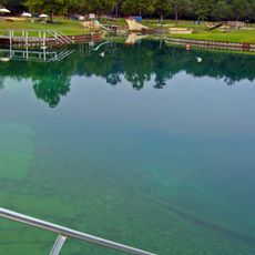
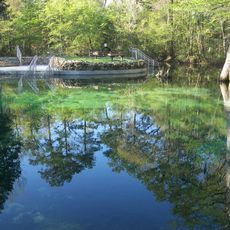
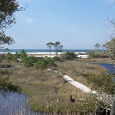
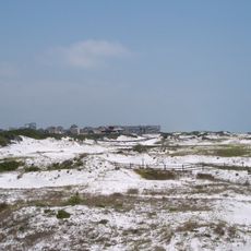
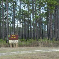
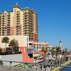
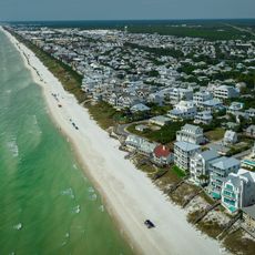
Walton County is a county in northwestern Florida that stretches from wooded inland areas to the Gulf coast with white sand beaches. The landscape shifts between pine forests, dunes and turquoise coastal waters that appear remarkably clear in some places.

The area became a county in 1824, shortly after Florida passed from Spain to the United States. Early settlement focused on timber and agriculture before coastal tourism gradually grew in importance during the 20th century.

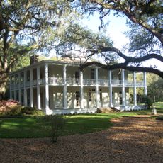
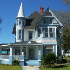
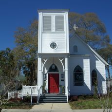
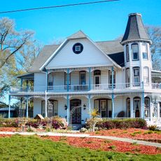
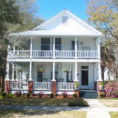
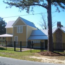
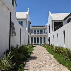
The name comes from George Walton Jr., an early territorial secretary whose administrative work helped organize the area after Spanish rule. Today many residents live along the coast, where small beach towns with understated architecture and sand-colored wooden houses are scattered.

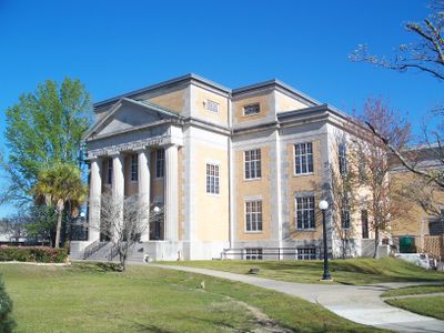
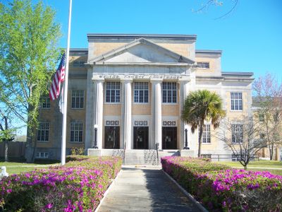
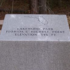
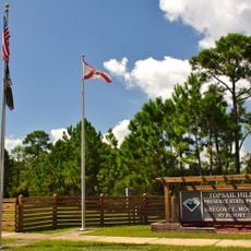
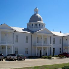
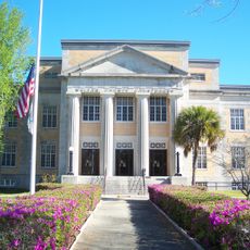
The administrative center is in DeFuniak Springs, a small inland town where you find public buildings and local services. The coastal towns to the south are often busier during summer months, while the inland areas remain quieter throughout the year.

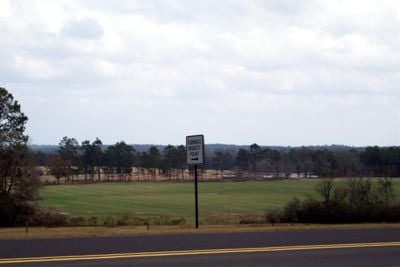
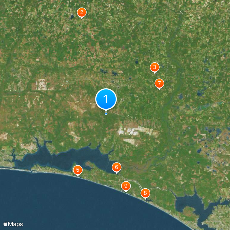
Britton Hill, the highest natural point in Florida, sits here at only around 345 feet above sea level and is the lowest high point of all US states. The hill itself is unassuming and surrounded by forest, so many visitors are surprised by how flat the highest elevation appears.

Location: Florida

Inception: December 29, 1824

Capital city: DeFuniak Springs

Reference: 12-131

Shares border with: Geneva County, Holmes County, Washington County, Bay County, Okaloosa County, Covington County

Website: http://co.walton.fl.us

GPS coordinates: 30.61000,-86.17000

Latest update: December 12, 2025 10:23

Photos
Around this place
Show the full map
Britton Hill
United States of America

Britton Hill

43.2 km
Vortex Spring
United States of America

Vortex Spring

27.8 km
Grayton Beach State Park
United States of America

Grayton Beach State Park

35.2 km
Topsail Hill Preserve State Park
United States of America

Topsail Hill Preserve State Park

29.8 km
Eden Gardens State Park
United States of America

Eden Gardens State Park

26.2 km
Ponce de Leon Springs State Park
United States of America

Ponce de Leon Springs State Park

25.7 km
Camp Helen State Park
United States of America

Camp Helen State Park

41 km
Deer Lake State Park
United States of America

Deer Lake State Park

35.2 km
Pine Log State Forest
United States of America

Pine Log State Forest

37.4 km
DeFuniak Springs Historic District
United States of America

DeFuniak Springs Historic District

13 km
Man in the Sea Museum
United States of America

Man in the Sea Museum

49.7 km
Chautauqua Hall of Brotherhood
United States of America

Chautauqua Hall of Brotherhood

13 km
Operation Crossbow Site
United States of America

Operation Crossbow Site

12.6 km
St. Agatha's Episcopal Church
United States of America

St. Agatha's Episcopal Church

12.9 km
Sun Bright
United States of America

Sun Bright

13.1 km
Destin Beach
United States of America

Destin Beach

33.7 km
Walton County Courthouse
United States of America

Walton County Courthouse

13.6 km
Latimer Cabin
United States of America

Latimer Cabin

40.9 km
Walton County Heritage Museum
United States of America

Walton County Heritage Museum

13.3 km
The Vicarage
United States of America

The Vicarage

12.9 km
Perry L. Biddle House
United States of America

Perry L. Biddle House

13.2 km
Herman Lodge No. 108 Free & Accepted Masons of Florida
United States of America

Herman Lodge No. 108 Free & Accepted Masons of Florida

13.4 km
Alys Beach
United States of America

Alys Beach

38.8 km
Topsail Bluff
United States of America

Topsail Bluff

30.5 km
Seacrest Beach
United States of America

Seacrest Beach

36.5 km
Indigo Pond
United States of America

Indigo Pond

18.1 km
Spring Lake Number One
United States of America

Spring Lake Number One

19 km
Howell Bluff
United States of America

Howell Bluff

31.2 km
Show the full map
Reviews

Visited this place? Tap the stars to rate it and share your experience / photos with the community! Try now! You can cancel it anytime.

Administrative divisions
« Walton County - County in Florida Panhandle, United States » is provided by Around Us (aroundus.com). Images and texts are derived from Wikimedia project under a Creative Commons license. You are allowed to copy, distribute, and modify copies of this page, under the conditions set by the license, as long as this note is clearly visible.

Discover hidden gems everywhere you go!

From secret cafés to breathtaking viewpoints, skip the crowded tourist spots and find places that match your style. Our app makes it easy with voice search, smart filtering, route optimization, and insider tips from travelers worldwide. Download now for the complete mobile experience.

Around Us App Screenshot

A unique approach to discovering new places

Le Figaro

All the places worth exploring

France Info

A tailor-made excursion in just a few clicks

20 Minutes