Wilcox County

Log in to your account

AroundUs is a community-driven map of interesting places, built by curious explorers like you. It grows with every review, story, and photo you share.
Connect to save your favorite spots, contribute locations, and create personalized routes.
Continue with Google
Continue with Apple
Continue with X
Continue with Facebook
Continue with email
By continuing, you accept our Terms and Conditions and our Privacy Policy
Create an account
Add to collection
Map
Suggest a change
Share

Wilcox County, County in Alabama, United States

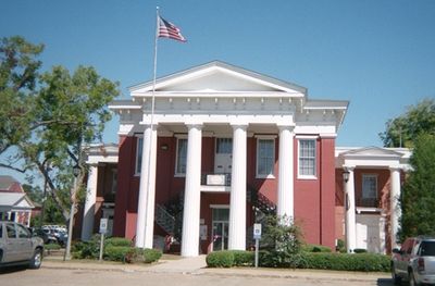
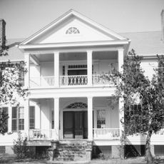
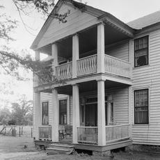
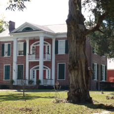
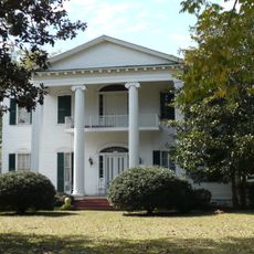
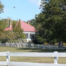
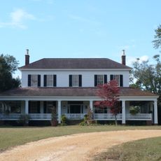
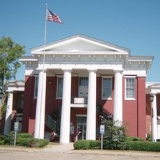
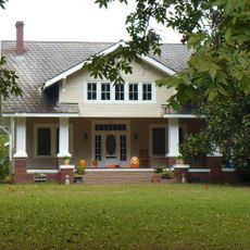
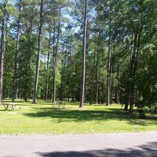
Wilcox County is an administrative division in Alabama featuring rural farmland and forest across its territory, with the Alabama River running through the landscape. The county seat of Camden serves as the main town, housing government offices and local services for residents.

The county was established in 1819 and named after Lieutenant Joseph M. Wilcox, an officer who died during conflict with Creek Nation forces. This naming reflects the military history and territorial struggles of that era in early America.

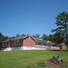
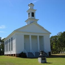
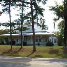
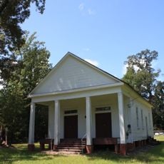
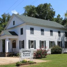
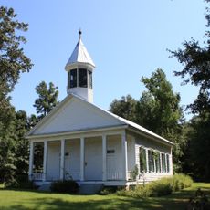
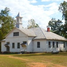
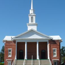
Religious congregations shape daily community life across the smaller towns and villages throughout the county. Churches serve as gathering places where neighbors meet regularly for worship and social connection.

The county is best explored by car, as it is a rural area without extensive public transportation options for getting around. Most services and government offices are located in Camden, which serves as a good starting point for visiting the region.

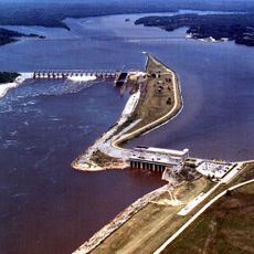
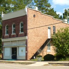
Near Pine Hill sits a major paper mill operated by International Paper Company along the Alabama River, serving as a significant employer in the area. Additionally, the Golden Dragon Copper Group operates a copper tubing facility, adding to the industrial diversity of the county.

Location: Alabama

Inception: December 13, 1819

Capital city: Camden

Shares border with: Dallas County, Butler County, Lowndes County, Monroe County, Clarke County, Marengo County

Website: https://wilcoxcountyal.org

GPS coordinates: 31.98500,-87.31083

Latest update: December 20, 2025 15:51

Photos
Around this place
United States of America

Roland Cooper State Park

9.9 km
Millers Ferry Lock and Dam
United States of America

Millers Ferry Lock and Dam

15.4 km
Snow Hill Normal and Industrial Institute
United States of America

Snow Hill Normal and Industrial Institute

26.6 km
Hawthorne House
United States of America

Hawthorne House

32.6 km
Dry Fork Plantation
United States of America

Dry Fork Plantation

10.4 km
William "Bill" Dannelly Reservoir
United States of America

William "Bill" Dannelly Reservoir

17.1 km
Tristram Bethea House
United States of America

Tristram Bethea House

8.4 km
Street Manual Training School
United States of America

Street Manual Training School

27.7 km
Liberty Hall
United States of America

Liberty Hall

2.8 km
William King Beck House
United States of America

William King Beck House

7.1 km
Tait-Ervin House
United States of America

Tait-Ervin House

6.4 km
Pleasant Hill Presbyterian Church
United States of America

Pleasant Hill Presbyterian Church

42.9 km
Oak Hill Historic District
United States of America

Oak Hill Historic District

22.7 km
Ackerville Baptist Church of Christ
United States of America

Ackerville Baptist Church of Christ

23.5 km
Pine Apple Historic District
United States of America

Pine Apple Historic District

32.9 km
Carlowville Historic District
United States of America

Carlowville Historic District

29 km
Furman Historic District
United States of America

Furman Historic District

32.5 km
Wilcox Female Institute
United States of America

Wilcox Female Institute

1.6 km
Prairie Mission
United States of America

Prairie Mission

20.7 km
Wilcox County Courthouse Historic District
United States of America

Wilcox County Courthouse Historic District

2.1 km
Patrick Farrish House
United States of America

Patrick Farrish House

43 km
Thomaston Central Historic District
United States of America

Thomaston Central Historic District

43.3 km
United States of America

Confederate Monument (Camden)

2 km
United States of America

Walnut Bluff

14.5 km
Bridgeport Beach
United States of America

Bridgeport Beach

8.9 km
United States of America

Chilatchee Park

17.8 km
United States of America

Red Bluff

20 km
United States of America

Sakti Hata

8.8 km
Show the full map
Reviews

Visited this place? Tap the stars to rate it and share your experience / photos with the community! Try now! You can cancel it anytime.

« Wilcox County - County in Alabama, United States » is provided by Around Us (aroundus.com). Images and texts are derived from Wikimedia project under a Creative Commons license. You are allowed to copy, distribute, and modify copies of this page, under the conditions set by the license, as long as this note is clearly visible.

Discover hidden gems everywhere you go!

From secret cafés to breathtaking viewpoints, skip the crowded tourist spots and find places that match your style. Our app makes it easy with voice search, smart filtering, route optimization, and insider tips from travelers worldwide. Download now for the complete mobile experience.

Around Us App Screenshot

A unique approach to discovering new places

Le Figaro

All the places worth exploring

France Info

A tailor-made excursion in just a few clicks

20 Minutes