Chest opened
+${chestReward.xp} XP
Explorer
NOUVEAU ×${chestReward.collectible.quantity}
tapez pour fermer
Chest locked

Open chests in the app

Around Us is built for your phone — chests unlock when you walk, explore and capture nearby places.

Enable Location

We need your location to show you interesting places around you

Discover nearby places

Find interesting locations and hidden gems around you

Precise directions

Get accurate directions and distances to places

Your location is never shared with other users. It's only used when you tap the location button.

Mary Esther

Log in to your account

Start exploring — it's free

Trusted by 72,879 travelers worldwide

Continue with Google
Continue with Apple
or

We will send you a code to connect

By continuing, you accept our Terms and Conditions and our Privacy Policy

Check your inbox

We've sent a pincode in your inbox. Please enter the code below.

Discussion Reviews 1 Photos
13.6k Popularity

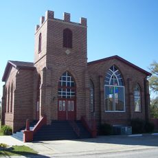
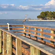
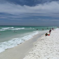
Mary Esther, Administrative city in Okaloosa County, Florida, United States.

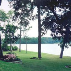
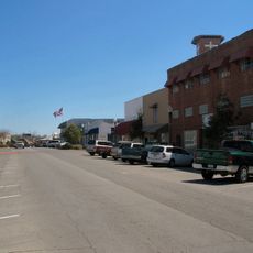
Mary Esther is an administrative city in Okaloosa County, Florida, situated within the Crestview-Fort Walton Beach-Destin metropolitan region. The community spreads across a small area and functions as a residential and local service center for its residents.

The city takes its name from the first postmaster John Newton, who combined his two daughters' names to establish the community's identity. This personal naming decision shaped the place from its earliest days of settlement.

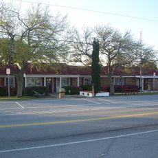
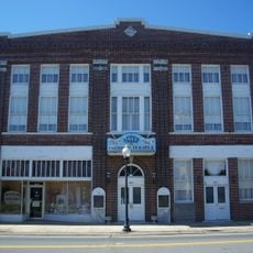
The public library serves as a gathering place where residents and visitors can borrow books and spend time in a comfortable setting. It reflects the community's commitment to providing local resources for everyone to access.

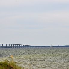
U.S. Route 98 connects the city to Fort Walton Beach to the east and Pensacola to the west, serving as the primary transportation corridor. Visitors can use this main road to access nearby communities and attractions in the region.

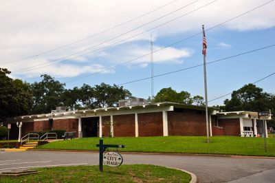
The city operates under a Council-Manager government structure, where an advisory board oversees the community's affairs. This organizational approach enables streamlined and efficient management of local services.

The community of curious travelers

AroundUs brings together thousands of curated places, local tips, and hidden gems, enriched daily by 60,000 contributors worldwide.

Start exploring
GPS coordinates
30.40992,-86.66301
Latest update
December 7, 2025 20:25
Around this place
Air Force Armament Museum
United States of America

Air Force Armament Museum

11.6 km
Topsail Hill Preserve State Park
United States of America

Topsail Hill Preserve State Park

35.3 km
McKinley Climatic Laboratory
United States of America

McKinley Climatic Laboratory

16.6 km
Henderson Beach State Park
United States of America

Henderson Beach State Park

7.9 km
Big Kahuna's
United States of America

Big Kahuna's

18.5 km
Mid-Bay Bridge
United States of America

Mid-Bay Bridge

23.7 km
Fort Walton Mound
United States of America

Fort Walton Mound

5.4 km
Blackwater River State Park
United States of America

Blackwater River State Park

39 km
Fred Gannon Rocky Bayou State Park
United States of America

Fred Gannon Rocky Bayou State Park

24.6 km
Santa Rosa Island Range Complex
United States of America

Santa Rosa Island Range Complex

13.8 km
Brooks Bridge
United States of America

Brooks Bridge

6.1 km
Governor Stone
United States of America

Governor Stone

4.4 km
Baker Block Museum
United States of America

Baker Block Museum

43.2 km
Camp Pinchot Historic District
United States of America

Camp Pinchot Historic District

9.4 km
Destin History & Fishing Museum
United States of America

Destin History & Fishing Museum

14.9 km
Destin Beach
United States of America

Destin Beach

25.8 km
Bagdad Village Historic District
United States of America

Bagdad Village Historic District

41.3 km
Mt. Pilgrim African Baptist Church
United States of America

Mt. Pilgrim African Baptist Church

43.1 km
St. Mary's Episcopal Church and Rectory
United States of America

St. Mary's Episcopal Church and Rectory

42.8 km
Gulfview Hotel Historic District
United States of America

Gulfview Hotel Historic District

4.9 km
Ollinger-Cobb House
United States of America

Ollinger-Cobb House

42.8 km
Crestview Commercial Historic District
United States of America

Crestview Commercial Historic District

39.9 km
Museum of Local History
United States of America

Museum of Local History

43 km
Eglin Field Historic District
United States of America

Eglin Field Historic District

18.3 km
Heritage Museum of Northwest Florida
United States of America

Heritage Museum of Northwest Florida

19.7 km
Destin Army Recreation Area
United States of America

Destin Army Recreation Area

15.8 km
Emerald Coast Science Center
United States of America

Emerald Coast Science Center

3.3 km
Opal Beach
United States of America

Opal Beach

29.2 km
Show the full map
Reviews
Share your experience

No review yet

Discussions
Start a discussion...

No discussion yet

« Mary Esther - Administrative city in Okaloosa County, Florida, United States » is provided by Around Us (aroundus.com). Images and texts are derived from Wikimedia project under a Creative Commons license. You are allowed to copy, distribute, and modify copies of this page, under the conditions set by the license, as long as this note is clearly visible.

Discover hidden gems everywhere you go!

From secret cafés to breathtaking viewpoints, skip the crowded tourist spots and find places that match your style. Our app makes it easy with voice search, smart filtering, route optimization, and insider tips from travelers worldwide. Download now for the complete mobile experience.

Around Us App Screenshot

A unique approach to discovering new places

Le Figaro

All the places worth exploring

France Info

A tailor-made excursion in just a few clicks

20 Minutes

Around Us
Travel Guide & Maps
Download

Send to your phone

QR Code
1

Open the camera app on your mobile.

2

Point at the QR code with your camera. A notification will appear.

3

Tap the notification to open the link.