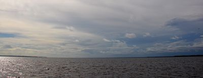
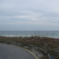
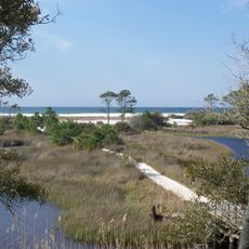
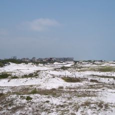
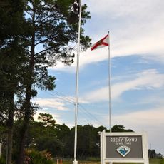
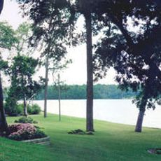
Choctawhatchee Bay, Coastal bay in Florida Panhandle, United States.
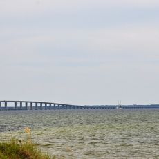
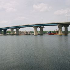
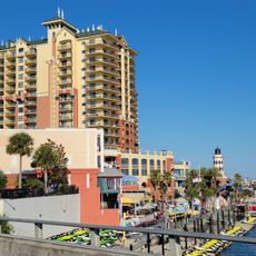
The bay spans approximately 334 square kilometers along the Emerald Coast and connects to the Gulf of Mexico through East Pass at Destin. Multiple bridges cross the water, linking several coastal communities together.
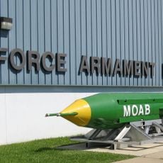
The bay appeared on Spanish, French, and English navigation charts, with early maps calling it St. Rose's Bay. Its strategic location made it important for military activities during World War II.
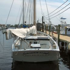
The name comes from the Choctaw Native American tribe, with 'hatchee' meaning stream or waterway in their language. Local communities have long ties to the water and its resources.
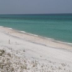
The Mid-Bay Bridge and Judge Clyde B. Wells Bridge provide vehicle access and connect multiple coastal communities. Daytime visits offer better views across the water and calmer conditions for exploring the area.
During World War II, Eglin Air Force Base set up a test area with radar corner reflectors for military experiments in the bay. This technological legacy remains mostly unseen today but marks the water's military past.
The community of curious travelers
AroundUs brings together thousands of curated places, local tips, and hidden gems, enriched daily by 60,000 contributors worldwide.