Enable Location

We need your location to show you interesting places around you

Discover nearby places

Find interesting locations and hidden gems around you

Precise directions

Get accurate directions and distances to places

Your location is never shared with other users. It's only used when you tap the location button.

Greenwood

Log in to your account

Start exploring — it's free

Trusted by 62,441 travelers worldwide

Continue with Google
Continue with Apple
or

We will send you a code to connect

By continuing, you accept our Terms and Conditions and our Privacy Policy

Check your inbox

We've sent a pincode in your inbox. Please enter the code below.

Greenwood, County seat in Mississippi Delta, United States.

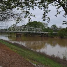
Greenwood is a county seat in Leflore County, Mississippi, where the Tallahatchie River and the Yalobusha River meet to form the Yazoo River. The town sits in the Mississippi Delta at an elevation of 40 meters (131 feet) and spreads across flat land once dominated by cotton fields.

The settlement was established in 1830 and grew into a major cotton trading hub during the 19th century. After the Civil War, the town remained an important center for agricultural commerce in the Delta region.

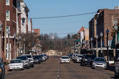
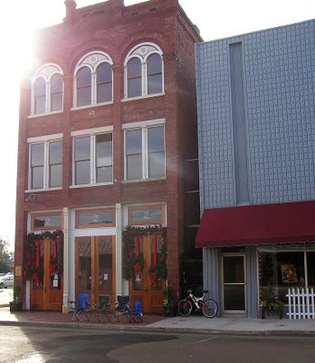
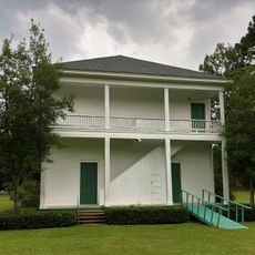
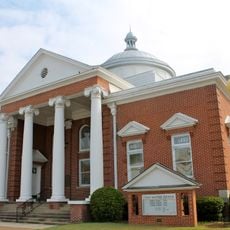
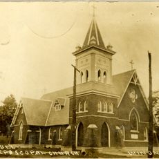
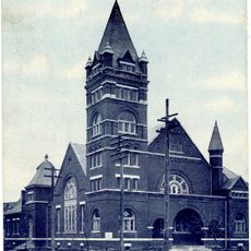
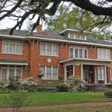
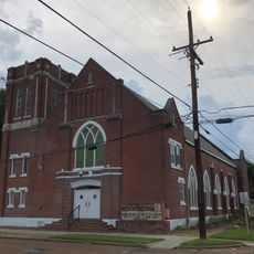
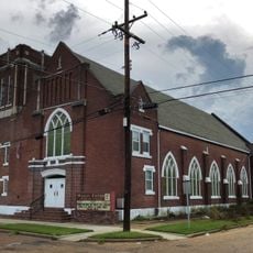
The town takes its name from Greenwood LeFlore, a Choctaw chief who played a role in negotiations with the federal government. Visitors today notice the older commercial buildings along the main streets that date back to when cotton shaped economic life.

Visitors looking to navigate can use the two main roads, U.S. Highway 82 and U.S. Highway 49, which intersect in the center. Most shops and facilities line these routes, making it easy to reach key points on foot or by car.

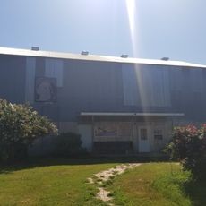
In the 1920s, local merchants developed specialized grading methods for cotton that were later adopted across the region. Some of the old warehouses along the riverfront still stand today as reminders of when large quantities of cotton were loaded daily.

The community of curious travelers

AroundUs brings together thousands of curated places, local tips, and hidden gems, enriched daily by 60,000 contributors worldwide.

Start exploring
Location
Inception
1830
Elevation above the sea
40 m
GPS coordinates
33.51860,-90.18390
Latest update
December 13, 2025 17:43
Around this place
B.B. King Museum and Delta Interpretive Center
United States of America

B.B. King Museum and Delta Interpretive Center

43.6 km
Rice–Totten Field
United States of America

Rice–Totten Field

14.8 km
Jaketown Site
United States of America

Jaketown Site

42.1 km
United States of America

Florewood State Park

6.2 km
Tallahatchie National Wildlife Refuge
United States of America

Tallahatchie National Wildlife Refuge

32.4 km
United States of America

Mathews Brake National Wildlife Refuge

17.6 km
United States of America

Morgan Brake National Wildlife Refuge

30.9 km
Cotesworth
United States of America

Cotesworth

25.6 km
Acona Church, Cemetery, and School
United States of America

Acona Church, Cemetery, and School

31.8 km
Indianola Historic District
United States of America

Indianola Historic District

44.1 km
Immanuel Episcopal Church
United States of America

Immanuel Episcopal Church

42 km
First Methodist Church of Greenwood
United States of America

First Methodist Church of Greenwood

81 m
Charley's Trace
United States of America

Charley's Trace

25.8 km
United States of America

James C. Purnell House

41.9 km
Southworth House
United States of America

Southworth House

1.1 km
Wesley Memorial Methodist Episcopal
United States of America

Wesley Memorial Methodist Episcopal

613 m
Emmett Till Historic Intrepid Center - ETHIC
United States of America

Emmett Till Historic Intrepid Center - ETHIC

35.9 km
United States of America

Greentree State Waterfowl Production Area

36.5 km
Keesler Bridge
United States of America

Keesler Bridge

350 m
United States of America

Murdock Lake

31.6 km
United States of America

Morgan Lake

24.3 km
United States of America

American Legion Lake

37.8 km
United States of America

Clifton Plantation

43 km
United States of America

Sanders Lake

29.6 km
Wesley Methodist Church Historic District
United States of America

Wesley Methodist Church Historic District

829 m
United States of America

Brindley Theater

43.6 km
United States of America

Statue, Work of art

24.6 km
United States of America

Work of art, statue

43.6 km
Show the full map
« Greenwood - County seat in Mississippi Delta, United States » is provided by Around Us (aroundus.com). Images and texts are derived from Wikimedia project under a Creative Commons license. You are allowed to copy, distribute, and modify copies of this page, under the conditions set by the license, as long as this note is clearly visible.

Discover hidden gems everywhere you go!

From secret cafés to breathtaking viewpoints, skip the crowded tourist spots and find places that match your style. Our app makes it easy with voice search, smart filtering, route optimization, and insider tips from travelers worldwide. Download now for the complete mobile experience.

Around Us App Screenshot

A unique approach to discovering new places

Le Figaro

All the places worth exploring

France Info

A tailor-made excursion in just a few clicks

20 Minutes

Around Us
Travel Guide & Maps
Download

Send to your phone

QR Code
1

Open the camera app on your mobile.

2

Point at the QR code with your camera. A notification will appear.

3

Tap the notification to open the link.