Chest opened
+${chestReward.xp} XP
Explorer
NOUVEAU ×${chestReward.collectible.quantity}
tapez pour fermer
Chest locked

Open chests in the app

Around Us is built for your phone — chests unlock when you walk, explore and capture nearby places.

Enable Location

We need your location to show you interesting places around you

Discover nearby places

Find interesting locations and hidden gems around you

Precise directions

Get accurate directions and distances to places

Your location is never shared with other users. It's only used when you tap the location button.

Tallahatchie River

Log in to your account

Start exploring — it's free

Trusted by 72,891 travelers worldwide

Continue with Google
Continue with Apple
or

We will send you a code to connect

By continuing, you accept our Terms and Conditions and our Privacy Policy

Check your inbox

We've sent a pincode in your inbox. Please enter the code below.

Tallahatchie River
Discussion Reviews 2 Photos
46.1k Popularity

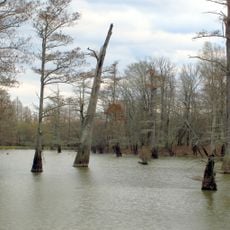
Tallahatchie River, River in Quitman County, Mississippi, United States

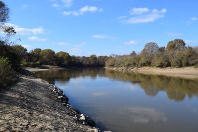
The Tallahatchie River is a waterway in northeastern Mississippi that flows roughly 230 miles through rolling and flat terrain across several counties. It merges with the Yalobusha River, eventually feeding into the larger river system that defines the region.

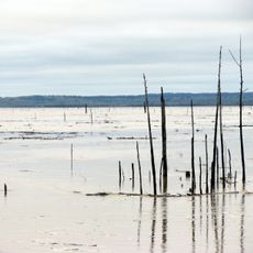
The construction of Sardis Dam in 1936 was part of a federal flood control program that reshaped the landscape. This dam created a large reservoir and changed how water moved through the region for decades to come.

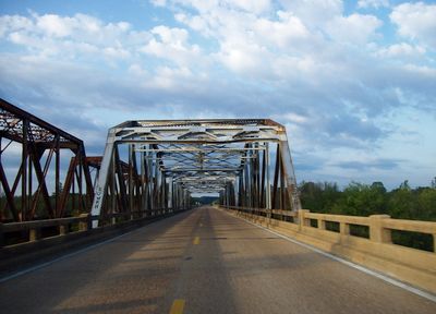
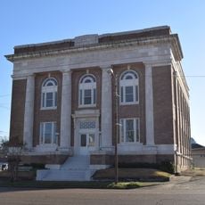
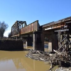
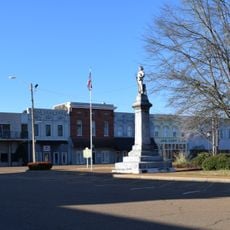
The river shaped how communities developed along its course and remains central to the region's identity. Local stories and memories are tied to crossing points and settlements that grew near the water's edge.

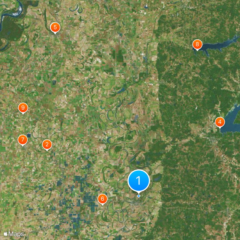
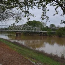
The river is accessible from several public areas along bridges and boat launch points scattered throughout the counties it passes through. Water conditions vary throughout the year, so visitors should check current water levels before planning water-based activities.

The river's name comes from the Choctaw language meaning 'rock of waters,' a reference to the iron sandstone formations found at its sources. These geological features are still visible in the upper reaches of the waterway today.

The community of curious travelers

AroundUs brings together thousands of curated places, local tips, and hidden gems, enriched daily by 60,000 contributors worldwide.

Start exploring
Location
GPS coordinates
33.54389,-90.16778
Latest update
December 14, 2025 19:59
Around this place
Dockery Plantation
United States of America

Dockery Plantation

46.1 km
Ground Zero
United States of America

Ground Zero

82.1 km
Grenada Lake
United States of America

Grenada Lake

47.7 km
Delta Blues Museum
United States of America

Delta Blues Museum

82.1 km
Rice–Totten Field
United States of America

Rice–Totten Field

16.7 km
Grammy Museum Mississippi
United States of America

Grammy Museum Mississippi

57 km
George P. Cossar State Park
United States of America

George P. Cossar State Park

70.5 km
I. T. Montgomery House
United States of America

I. T. Montgomery House

63.8 km
Tallahatchie National Wildlife Refuge
United States of America

Tallahatchie National Wildlife Refuge

29.3 km
Cotesworth
United States of America

Cotesworth

24 km
Tallahatchie County Second District Courthouse
United States of America

Tallahatchie County Second District Courthouse

51 km
Temple Adath Israel
United States of America

Temple Adath Israel

56.2 km
Odd Fellows and Confederate Cemetery
United States of America

Odd Fellows and Confederate Cemetery

41.9 km
First Methodist Church of Greenwood
United States of America

First Methodist Church of Greenwood

3.2 km
Charley's Trace
United States of America

Charley's Trace

24.2 km
Grenada Masonic Temple
United States of America

Grenada Masonic Temple

43 km
Southworth House
United States of America

Southworth House

4.2 km
Wesley Memorial Methodist Episcopal
United States of America

Wesley Memorial Methodist Episcopal

3.6 km
Harmony Bowling
United States of America

Harmony Bowling

58 km
Emmett Till Interpretive Center
United States of America

Emmett Till Interpretive Center

51.1 km
Emmett Till Historic Intrepid Center - ETHIC
United States of America

Emmett Till Historic Intrepid Center - ETHIC

33.7 km
Evergreen Plantation
United States of America

Evergreen Plantation

44.3 km
Delta Cinema
United States of America

Delta Cinema

82.3 km
Keesler Bridge
United States of America

Keesler Bridge

2.9 km
Grenada Railway Yalobusha River Bridge
United States of America

Grenada Railway Yalobusha River Bridge

43.8 km
Downtown Grenada Historic District
United States of America

Downtown Grenada Historic District

43.2 km
Margin Street Historic District
United States of America

Margin Street Historic District

42.7 km
WROX Building
United States of America

WROX Building

82.3 km
Show the full map
Reviews
Share your experience

No review yet

Discussions
Start a discussion...

No discussion yet

« Tallahatchie River - River in Quitman County, Mississippi, United States » is provided by Around Us (aroundus.com). Images and texts are derived from Wikimedia project under a Creative Commons license. You are allowed to copy, distribute, and modify copies of this page, under the conditions set by the license, as long as this note is clearly visible.

Discover hidden gems everywhere you go!

From secret cafés to breathtaking viewpoints, skip the crowded tourist spots and find places that match your style. Our app makes it easy with voice search, smart filtering, route optimization, and insider tips from travelers worldwide. Download now for the complete mobile experience.

Around Us App Screenshot

A unique approach to discovering new places

Le Figaro

All the places worth exploring

France Info

A tailor-made excursion in just a few clicks

20 Minutes

Around Us
Travel Guide & Maps
Download

Send to your phone

QR Code
1

Open the camera app on your mobile.

2

Point at the QR code with your camera. A notification will appear.

3

Tap the notification to open the link.