Lower Mississippi River, Major river section from Cairo to New Orleans, United States
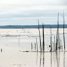
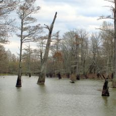
The Lower Mississippi is a wide, powerful river that flows south from Cairo across hundreds of miles toward the Gulf coast. The water moves through flat floodplain lands and splits near the coast into numerous channels and islands that shift constantly.
The river became the backbone of American trade in the 1800s when steamboats regularly moved goods between inland states and international ports. This era of steamboat travel linked the agricultural regions of the interior with markets around the world.
The people living along the banks maintain deep traditions of fishing and river life that shape the region's identity even today. This connection to the water is visible in local festivals, music, and crafts passed down through families over generations.
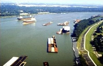
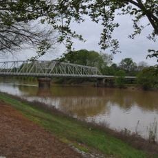
The river is navigable for large cargo ships and barge traffic, supported by modern systems and levee structures that manage water levels. Visitors can observe the waterway from bridges, viewing areas, or spots along the banks at various communities throughout the region.
The river moves an enormous amount of sediment that constantly builds new landforms at the delta coast and reshapes the shoreline. Over time, visitors paying attention can notice how islands and sandbars shift and change in different locations along the lower section.
The community of curious travelers
AroundUs brings together thousands of curated places, local tips, and hidden gems, enriched daily by 60,000 contributors worldwide.