Rosário do Sul, Agricultural municipality in Rio Grande do Sul, Brazil
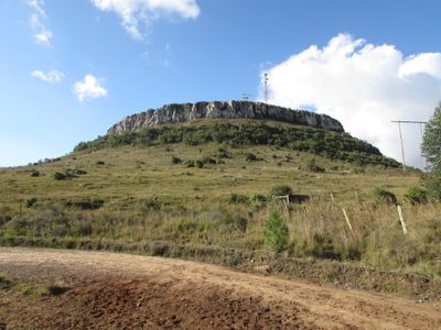
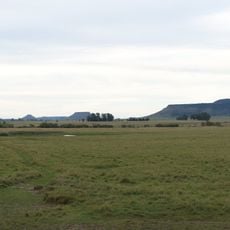
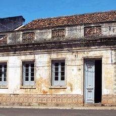
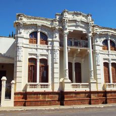
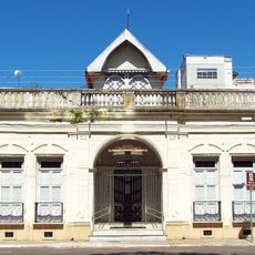
Rosário do Sul is a municipality in southwestern Rio Grande do Sul that covers a large agricultural area in this region of southern Brazil. The town functions as a local center serving the surrounding rural areas and farming communities.
The settlement was founded in 1813 and gained city status in 1939, after which it changed its name to Rosário do Sul in 1944. This name change marked an important step in the town's development as an independent administrative center.
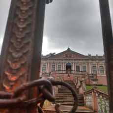
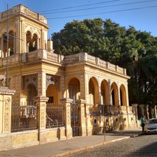
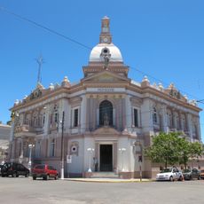
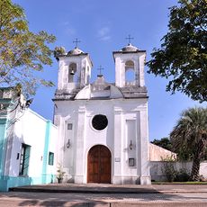
The João Pessoa municipal theater shapes cultural life in the region and hosts regular performances by local and regional artists. The venue serves as a gathering place where residents experience theater, music, and artistic presentations.
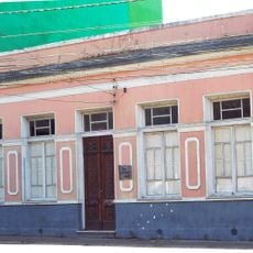
The municipality has basic infrastructure with schools, shops, and local services typical of a regional agricultural town. Visitors should plan to arrive by car, as public transportation is limited and distances between locations are greater.
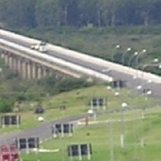
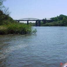
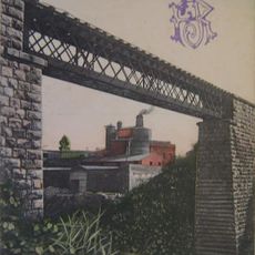
A large bridge crosses the Santa Maria River and ranks among the longer structures of its kind in the state. The bridge connects the region and is a notable feature of the local landscape.
Location: Rio Grande do Sul
Inception: April 19, 1876
Elevation above the sea: 124 m
Shares border with: Alegrete, São Gabriel, Dom Pedrito, Cacequi, Quaraí, Santana do Livramento
Website: http://prefeituraderosario.com.br
GPS coordinates: -30.25778,-54.91389
Latest update: December 13, 2025 12:40
Natural Protected Area Valle del Lunarejo
139.6 km
Piedra Pintada
143.4 km
Rincon de tres cerros
166.8 km
Dom Diogo de Souza Museum
142.8 km
Estádio Pedra Moura
141.6 km
Ponte Marechal José de Abreu
1.7 km
Paleontological Site Chiniquá
81.8 km
Ibirapuitã Biological Reserve
91.4 km
Museum Daniel Cargnin
88.6 km
Palacete Pedro Osório
141.6 km
Ibirapuitã Environmental Protection Area
72.4 km
Museum Paleontologic and Archaeological Walter Ilha
92.1 km
Museu da Gravura Brasileira
140.6 km
Parque Natural Regional Valle del Lunarejo
140.8 km
Catedral de São Sebastião
142.9 km
Antiga Casa do Marechal Bento Manuel Ribeiro de Almeida
99.6 km
Antigas Residências Em Alegrete
99.7 km
Caixa d'Água
84 km
Maara - Museu de Arqueologia e Artes
99.6 km
Museu Oswaldo Aranha
99.7 km
Prefeitura Municipal
84 km
Jefatura de Policía, Artigas
149.7 km
Centro Histórico de Bagé
142.8 km
Centro de detención del Regimiento de Caballería No. 3
94.2 km
Centro de detención del Regimiento de Caballería No. 10
152.5 km
Museo Parroquial del Templo San Eugenio
149.8 km
Ponte Alta (Bagé)
142.8 km
Jefatura de policía de Artigas
149.7 kmVisited this place? Tap the stars to rate it and share your experience / photos with the community! Try now! You can cancel it anytime.
Discover hidden gems everywhere you go!
From secret cafés to breathtaking viewpoints, skip the crowded tourist spots and find places that match your style. Our app makes it easy with voice search, smart filtering, route optimization, and insider tips from travelers worldwide. Download now for the complete mobile experience.
A unique approach to discovering new places❞
— Le Figaro
All the places worth exploring❞
— France Info
A tailor-made excursion in just a few clicks❞
— 20 Minutes