Ituaçu, Municipality in Chapada Diamantina region, Bahia, Brazil
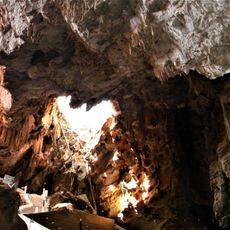
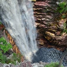
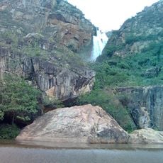
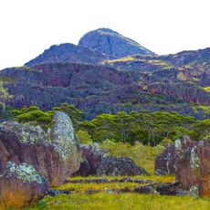
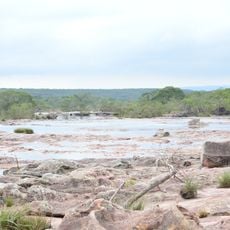
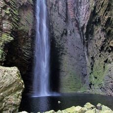
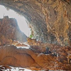
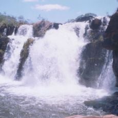
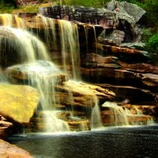
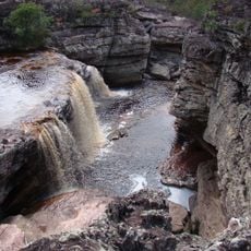
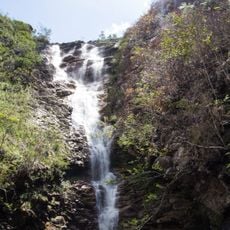
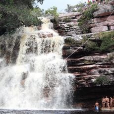
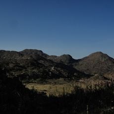
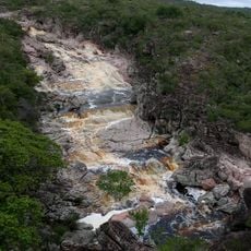
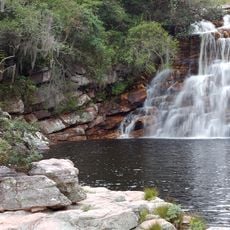
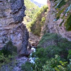
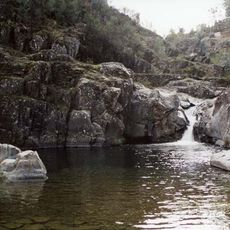
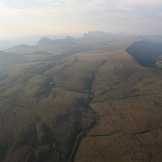
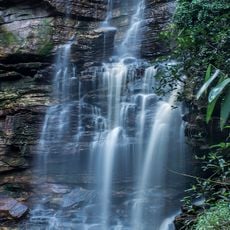
Ituaçu is a municipality in the Chapada Diamantina region of Bahia, situated in a hilly area with sloping terrain and natural landscape features. The town spreads across rolling hills and valleys typical of Brazil's highland regions.
The place gained official recognition as an administrative division in the late 1800s. This founding process created a community that connected its colonial past to modern settlement patterns.
The town has a strong connection to Brazilian music, with local artists blending traditional rhythms and regional styles into their work. This musical spirit shows up in community gatherings and in how people celebrate together throughout the year.
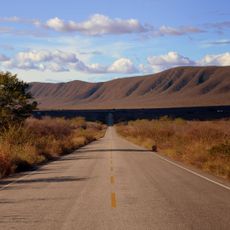
Visitors will find basic lodging and small restaurants serving local food throughout the area. Having a car helps explore the surroundings more freely, though local transport options are available for getting around.
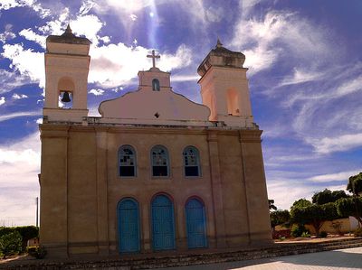
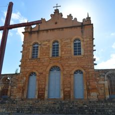
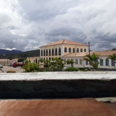
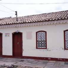
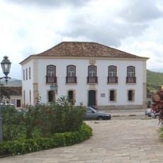
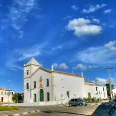
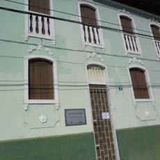
The town features a notable church building that shapes the local architecture and construction style. The structure shows how earlier generations expressed their religious beliefs through traditional building methods.
Location: Bahia
Elevation above the sea: 833 m
Shares border with: Jussiape, Barra da Estiva, Brumado, Contendas do Sincorá, Rio de Contas, Tanhaçu
GPS coordinates: -13.81278,-41.29694
Latest update: December 7, 2025 20:43
Gruta de Mangabeira
3.7 km
Church of Our Lady of Santana
61.4 km
Cachoeira do Buracão
56.5 km
Cachoeira Véu de Noiva
60.7 km
Pico das Almas
79.3 km
Parque Natural Municipal do Espalhado
57.2 km
Cachoeira da Fumacinha
61.6 km
Gruta do Padre
92.7 km
Cachoeira do Fraga
62.3 km
Contendas de Sincorá National Forest
25.7 km
Cachoeira das Andorinhas
88.7 km
Cachoeira das Orquídeas
56.6 km
Cachoeira do Licuri
43.7 km
Cachoeira Véu de Noiva
58.2 km
Parque Municipal Natural da Serra das Almas
75.9 km
Conjunto Arquitetônico da Cidade de Rio de Contas
61.5 km
Cachoeira da Roncadeira
80.7 km
Cachoeira da Moça Loira
89.4 km
Cachoeira Encantada
74.7 km
Casa Natal de Abílio César Borges, à rua Barão de Macaúbas, 19
61.4 km
Poço das Andorinhas
65.2 km
Cachoeira da Velha
72.9 km
Gerais do Machobongo
68.4 km
Casa de Câmara e Cadeia, Rio de Contas
61.5 km
Parish Church of the Blessed Sacrament
61.4 km
Casa à Rua Barão de Macaúbas, N° 11
61.5 km
Historical Archive Municipal Memory of Brumado
59.2 kmVisited this place? Tap the stars to rate it and share your experience / photos with the community! Try now! You can cancel it anytime.
Discover hidden gems everywhere you go!
From secret cafés to breathtaking viewpoints, skip the crowded tourist spots and find places that match your style. Our app makes it easy with voice search, smart filtering, route optimization, and insider tips from travelers worldwide. Download now for the complete mobile experience.
A unique approach to discovering new places❞
— Le Figaro
All the places worth exploring❞
— France Info
A tailor-made excursion in just a few clicks❞
— 20 Minutes