
Garrafão do Norte, municipality of the state of Pará, Brazil
Location: Pará
Elevation above the sea: 56 m
Shares border with: Capitão Poço, Nova Esperança do Piriá, Santa Luzia do Pará
GPS coordinates: -1.93389,-47.05278
Latest update: March 16, 2025 17:05
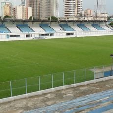
Estádio da Curuzú
166.1 km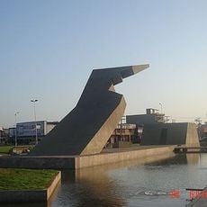
Memorial da Cabanagem
164.6 km
Museu Paraense Emílio Goeldi
167.2 km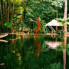
Bosque Rodrigues Alves
165.9 km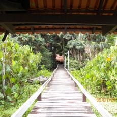
Utinga State Park
165.1 km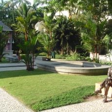
Governor's Residence Park
166.9 km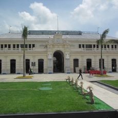
Mercado de São Brás
166.4 km
Murutucu Plantation
162.3 km
Igreja de São Benedito
102.8 km
Gurupi Biological Reserve
206.2 km
Maracanã Marine Extractive Reserve
142.4 km
Quilombo Abacatal-aurá
160.6 km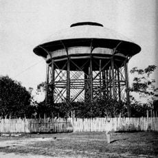
Caixa d'Água de Ferro
166.5 km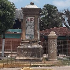
Monumento do Marco da Légua
165.7 km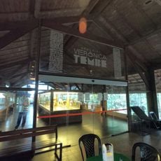
Memorial Verônica Tembé
162.3 km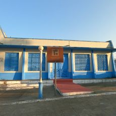
Barracão da Marujada
102.8 km
Tracuateua Marine Extractive Reserve
126.8 km
Mãe Grande de Curuçá Extractive Reserve
151.4 km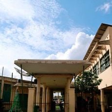
Benvinda de França Messias Municipal School
166.5 km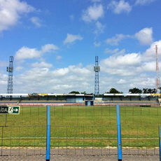
Estádio Maximino Porpino Filho
121.1 km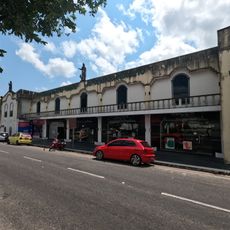
Museum of Sacred Art Our Lady of the Rosary
101.6 km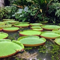
Parque Zoobotânico do Museu Paraense Emílio Goeldi
167.2 km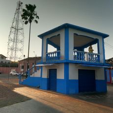
Coreto na Praça 1º de outubro
102.8 km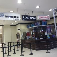
Moviecom Shopping Castanheira
164.3 km
Archaeology and Ethnography collections of Museu Paraense Emílio Goeldi
167.2 km
Municipal market of Bragança
103.1 km
João Paes Ramos Residence
102.9 km
Medeiros Family Residence
102.6 kmReviews
Visited this place? Tap the stars to rate it and share your experience / photos with the community! Try now! You can cancel it anytime.
Discover hidden gems everywhere you go!
From secret cafés to breathtaking viewpoints, skip the crowded tourist spots and find places that match your style. Our app makes it easy with voice search, smart filtering, route optimization, and insider tips from travelers worldwide. Download now for the complete mobile experience.

A unique approach to discovering new places❞
— Le Figaro
All the places worth exploring❞
— France Info
A tailor-made excursion in just a few clicks❞
— 20 Minutes