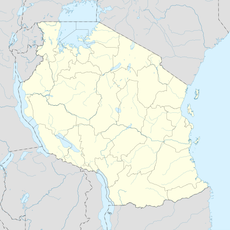
Luapula Province, Administrative province in northern Zambia
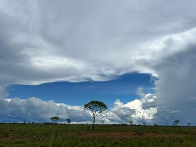
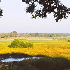
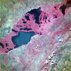
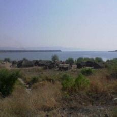
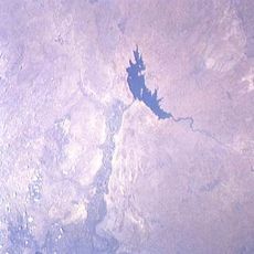
Luapula Province stretches from Lake Bangweulu to Lake Mweru, following the Luapula River along the Democratic Republic of Congo border. The region is marked by its extensive network of waterways and lakes that define its landscape.
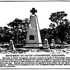
The region was part of the Lunda Kingdom in the 19th century and later experienced border disputes with its neighbor. Current boundaries were finalized following independence.
The Lunda people shape daily life here, with their languages and customs visible in community interactions. Fishing traditions and trade practices remain central to how people organize their daily activities.
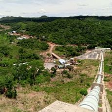
The main highway connects major settlements and enables travel across this water-rich province. Travel conditions can change during rainy seasons, so flexible planning helps with getting around.
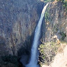
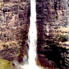
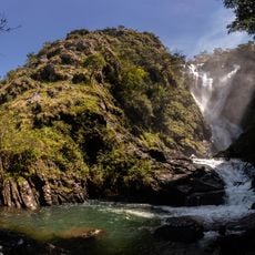
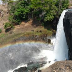
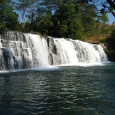
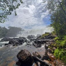
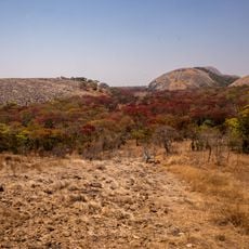
Waterfalls like Lumangwe and Mumbuluma break through the flatland and create striking natural displays that many visitors overlook. These cascades are reachable by short walks and offer surprising contrast to the water-filled plain.
The community of curious travelers
AroundUs brings together thousands of curated places, local tips, and hidden gems, enriched daily by 60,000 contributors worldwide.