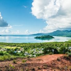
Charifou, Summit in Mayotte, France
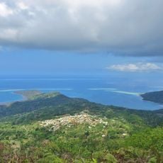
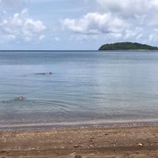
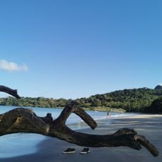
Charifou is a summit measuring 83 meters (272 ft) above sea level in southeastern Grande Terre between the villages of Dapani and M'bouini. The location serves as a junction point for an extensive trail network that includes sections of the main GR1 hiking route crossing Mayotte.
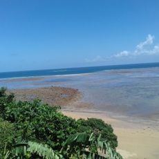
Charifou formed approximately three million years ago through volcanic activity that shaped the current geology of Mayotte in the Indian Ocean. This volcanic origin remains evident in the island's landscape structure today.
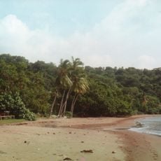
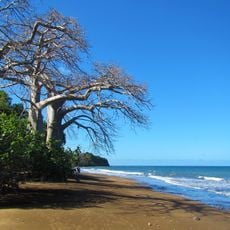
The surrounding region contains numerous baobab trees that local inhabitants consider sacred, with specific traditions related to spirits dwelling within them.
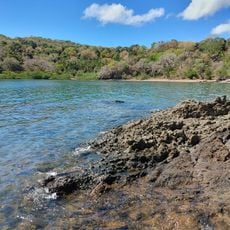
The site is accessible through established trails with varying difficulty levels, where conditions change depending on the season and recent weather. Visitors should prepare for potentially muddy or slippery sections during the rainy months.
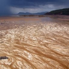
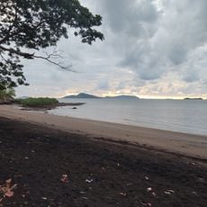
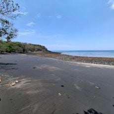
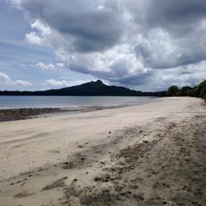
The area surrounding the summit displays distinctive red clay formations known as padzas that create a recognizable landscape pattern. These erosional features develop through heavy tropical rainfall and form a visual signature visible from various vantage points around the region.
The community of curious travelers
AroundUs brings together thousands of curated places, local tips, and hidden gems, enriched daily by 60,000 contributors worldwide.