Chirongui

Log in to your account

AroundUs is a community-driven map of interesting places, built by curious explorers like you. It grows with every review, story, and photo you share.
Connect to save your favorite spots, contribute locations, and create personalized routes.
By continuing, you accept our Terms and Conditions and our Privacy Policy
Add to collection
Map
Suggest a change
Share

Chirongui, Administrative commune in eastern Mayotte, France

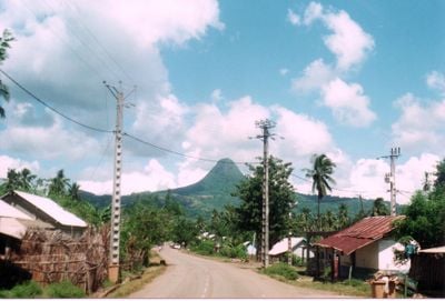
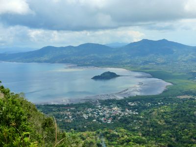
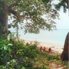
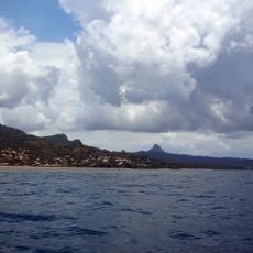
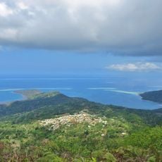
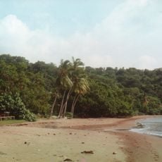
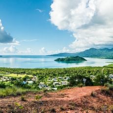
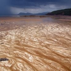
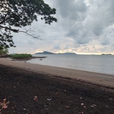
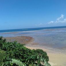
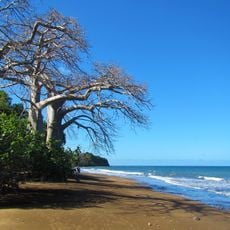
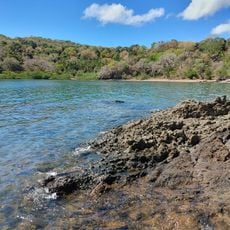
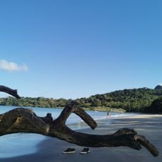
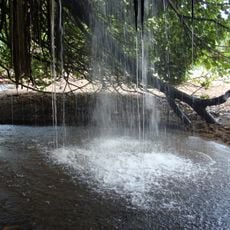
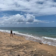
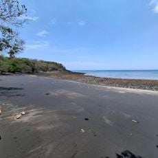
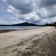
Chirongui is a commune located in eastern Mayotte, stretching across varied terrain that rises from coastal areas toward higher ground. The settlement is surrounded by green landscapes typical of this part of the French island territory.

The commune was formally established as a separate administrative unit in 2011, marking a turning point in its governance structure. This reorganization reflected broader changes in how the island's communities were administratively divided.

Residents here blend local traditions with French institutions in their daily routines. Walking through the community, you notice how both influences shape the way people live and work together.

The commune provides various services for visitors and residents with set opening hours for public matters. It is helpful to visit local facilities during daytime hours and check ahead for operating times of specific services.

The commune serves as a major education hub with schools serving multiple grade levels throughout the area. This concentration of educational facilities shapes the character of the place and draws families seeking schooling options.

Location: Mayotte

Inception: March 31, 2011

Elevation above the sea: 13 m

Shares border with: Bandrele, Bouéni, Dembeni, Kani-Kéli, Ouangani, Sada

Phone: +33269621803

Email: secretariat@chirongui.yt

Website: https://mairie-chirongui.yt

GPS coordinates: -12.93500,45.15083

Latest update: December 6, 2025 17:42

Photos
Natural areas and beaches of Mayotte

Mayotte is an archipelago in the Indian Ocean with a varied landscape of volcanic lakes, sandy beaches, and protected natural areas. The islands host coral reefs, mangrove forests, and marine habitats that invite exploration. Historic mosques such as Tsingoni and busy fish markets display the island's cultural side, while viewpoints and waterfalls like Cascade de Soulou offer scenic views. On Petite-Terre, beaches such as Moya and Musicale sit near Dziani Dzaha Crater Lake, a notable body of water of volcanic origin. Mount Choungui on Grande-Terre offers hiking opportunities with views across the island. The Sentier des Baobabs leads through landscapes with ancient trees and shows the region's natural flora. The coastline draws visitors with many beaches including N'Gouja, Saziley, and Tahiti Beach, while nature reserves such as Saziley National Park and Chissioua M'bouzi Reserve shelter uncommon species. The M'Tsamboro Islands and Sable Blanc Islet are popular destinations for water sports and snorkeling. Longoni Harbor and smaller bays such as Chirongui Bay show the maritime life of island residents.

Reviews

Visited this place? Tap the stars to rate it and share your experience / photos with the community! Try now! You can cancel it anytime.

« Chirongui - Administrative commune in eastern Mayotte, France » is provided by Around Us (aroundus.com). Images and texts are derived from Wikimedia project under a Creative Commons license. You are allowed to copy, distribute, and modify copies of this page, under the conditions set by the license, as long as this note is clearly visible.

Discover hidden gems everywhere you go!

From secret cafés to breathtaking viewpoints, skip the crowded tourist spots and find places that match your style. Our app makes it easy with voice search, smart filtering, route optimization, and insider tips from travelers worldwide. Download now for the complete mobile experience.

Around Us App Screenshot

A unique approach to discovering new places

Le Figaro

All the places worth exploring

France Info

A tailor-made excursion in just a few clicks

20 Minutes