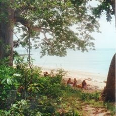
Mont Choungui, Volcanic mountain in southern Mayotte, France
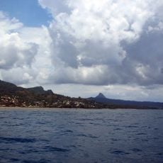
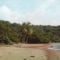
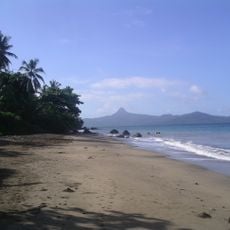
Mont Choungui is a basalt cone on Grande-Terre in Mayotte, built by a phonolitic extrusion that resisted erosion better than the surrounding volcanic rock. It reaches 593 m, second only to Mont Bénara, and straddles the communes of Kani-Kéli and Chirongui. Forest covers the peak and most of the Mroni Bé catchment; the cone is visible from far out at sea.
Mont Choungui is the eroded remnant of one of Mayotte's large volcanoes: a basaltic cone shaped by a phonolitic extrusion, a rock less vulnerable to erosion than the surrounding volcanic material. That resistant core left the 593-metre peak standing above the southern peninsula of Grande-Terre, on the boundary of Kani-Kéli and Chirongui. The mountain appears on the coat of arms of Kani-Kéli.
Mont Choungui appears on the coat of arms of the commune of Kani-Kéli, which shares the summit with Chirongui. The mountain is one of Mayotte's symbols, and its ascent is among the island's most popular tourist activities.
The trail was laid out as a training route for the French Foreign Legion and includes many climbing passages on slopes steeper than 70°. Sturdy shoes and sure footing are needed. The summit is the second highest point of Mayotte at 593 m, below Mont Bénara at 660 m.
The strictly endemic shrub Eugenia chounguiensis, described in 2016, grows only on Mont Choungui, whose height and volcanic geology give it vegetation unlike the surrounding massifs. The mountain also appears on the coat of arms of the commune of Kani-Kéli.
The community of curious travelers
AroundUs brings together thousands of curated places, local tips, and hidden gems, enriched daily by 94,047 contributors worldwide.