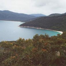
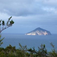
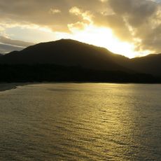
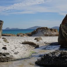
Boundary Islet, Rocky islet in Bass Strait, Australia.
Boundary Islet is a small rocky formation in Bass Strait, situated about 56 kilometers east of Victoria's tip within the Hogan Island Group. The 2-hectare outcrop straddles a state line that divides it between two different territories.
An early survey conducted by Captain John Black in 1801 contained measurement errors that led to ongoing boundary disputes between two states. These inaccuracies created a geographical puzzle that persisted for decades.
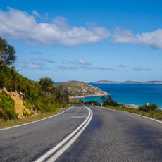
The islet represents a geographical anomaly in Australian state boundaries, creating an unusual connection between mainland Victoria and insular Tasmania.
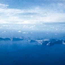
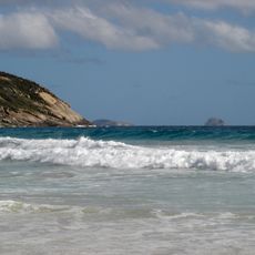
This outcrop is difficult to reach and sits far offshore in waters that often experience rough conditions. Visiting requires specialized boat arrangements and is typically reserved for researchers or marine enthusiasts.
The state boundary that crosses this small formation is only about 85 meters long, making it the shortest such line in the entire nation. This tiny borderline connects a mainland territory with an insular one through this rocky anomaly.
The community of curious travelers
AroundUs brings together thousands of curated places, local tips, and hidden gems, enriched daily by 60,000 contributors worldwide.