Enable Location

We need your location to show you interesting places around you

Discover nearby places

Find interesting locations and hidden gems around you

Precise directions

Get accurate directions and distances to places

Your location is never shared with other users. It's only used when you tap the location button.

South Gate

Log in to your account

Start exploring — it's free

Trusted by 62,446 travelers worldwide

Continue with Google
Continue with Apple
or

We will send you a code to connect

By continuing, you accept our Terms and Conditions and our Privacy Policy

Check your inbox

We've sent a pincode in your inbox. Please enter the code below.

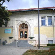
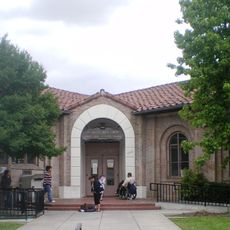
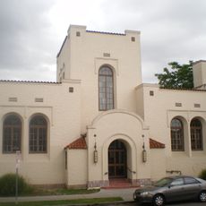
South Gate, Residential city in Los Angeles County, United States

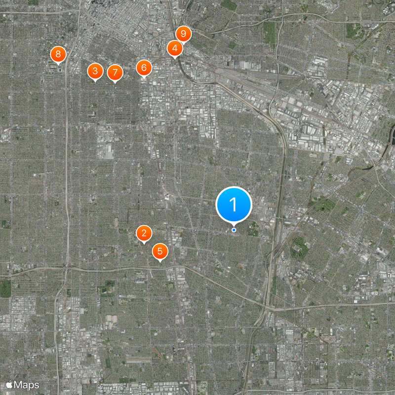
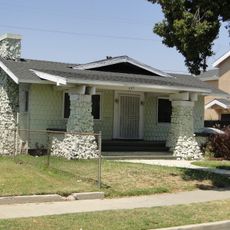
South Gate is a city in Los Angeles County, California, that combines residential areas with commercial and industrial zones. The city covers roughly 7.4 square miles (19 square kilometers) and contains different neighborhoods with small parks and main streets.

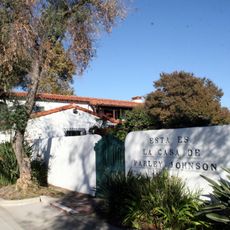
The area belonged to the Gabrielino people before Spanish settlers arrived in the 18th century. The Lugo family received large land grants in the 19th century, which were later divided into smaller parcels.

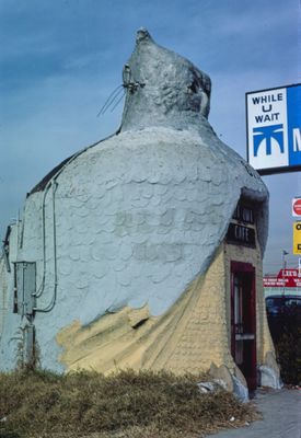
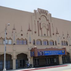
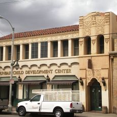
The Tweedy Mile commercial district forms the city center with local shops, restaurants, and weekly farmers markets offering regional products to the community.

The city sits roughly 7 miles (11 kilometers) from downtown Los Angeles and about 13 miles (21 kilometers) from Los Angeles International Airport. Most points of interest and shops are accessible by car or public transport.

A park covering roughly 97 acres (39 hectares) forms the largest open space and offers sports fields and community facilities. The Tweedy Mile draws locals with small businesses and a weekly farmers market.

The community of curious travelers

AroundUs brings together thousands of curated places, local tips, and hidden gems, enriched daily by 60,000 contributors worldwide.

Start exploring
Inception
1923
Elevation above the sea
35 m
Shares border with
Cudahy, Downey, Lynwood, Paramount
GPS coordinates
33.94417,-118.19500
Latest update
December 13, 2025 17:09
Around this place
Watts Towers
United States of America

Watts Towers

4.3 km
Wrigley Field
United States of America

Wrigley Field

9.6 km
Atchison, Topeka and Santa Fe Railway 3751
United States of America

Atchison, Topeka and Santa Fe Railway 3751

8.6 km
United States of America

Imperial Courts

3.8 km
United States of America

South Central Farm

8.4 km
Dunbar Hotel
United States of America

Dunbar Hotel

9 km
King Estates
United States of America

King Estates

11.4 km
Sears, Roebuck & Company Mail Order Building
United States of America

Sears, Roebuck & Company Mail Order Building

9.1 km
Johnie's Broiler
United States of America

Johnie's Broiler

4.4 km
Coca-Cola Building
United States of America

Coca-Cola Building

10.5 km
28th Street YMCA
United States of America

28th Street YMCA

9.9 km
Wallis Annenberg Building
United States of America

Wallis Annenberg Building

11.4 km
Fire Station No. 30, Engine Company No. 30
United States of America

Fire Station No. 30, Engine Company No. 30

10.5 km
27th Street Historic District
United States of America

27th Street Historic District

10 km
Ralph J. Bunche House
United States of America

Ralph J. Bunche House

9.1 km
Lincoln Theatre
United States of America

Lincoln Theatre

10.1 km
52nd Place Historic District
United States of America

52nd Place Historic District

8.4 km
Punchbowl Formation
United States of America

Punchbowl Formation

6.2 km
Roosevelt Building
United States of America

Roosevelt Building

9.9 km
Casa de Parley Johnson
United States of America

Casa de Parley Johnson

5.9 km
Prince Hall Masonic Temple
United States of America

Prince Hall Masonic Temple

8.3 km
Bethlehem Baptist Church
United States of America

Bethlehem Baptist Church

7.8 km
Golden State Mutual Life Insurance Building
United States of America

Golden State Mutual Life Insurance Building

8.9 km
Vermont Square Branch
United States of America

Vermont Square Branch

11.1 km
John Muir Branch Library
United States of America

John Muir Branch Library

9.9 km
Robert Louis Stevenson Branch
United States of America

Robert Louis Stevenson Branch

9.3 km
Moneta Branch
United States of America

Moneta Branch

10.3 km
Tomorrow's Aeronautical Museum
United States of America

Tomorrow's Aeronautical Museum

7.5 km
Show the full map
« South Gate - Residential city in Los Angeles County, United States » is provided by Around Us (aroundus.com). Images and texts are derived from Wikimedia project under a Creative Commons license. You are allowed to copy, distribute, and modify copies of this page, under the conditions set by the license, as long as this note is clearly visible.

Discover hidden gems everywhere you go!

From secret cafés to breathtaking viewpoints, skip the crowded tourist spots and find places that match your style. Our app makes it easy with voice search, smart filtering, route optimization, and insider tips from travelers worldwide. Download now for the complete mobile experience.

Around Us App Screenshot

A unique approach to discovering new places

Le Figaro

All the places worth exploring

France Info

A tailor-made excursion in just a few clicks

20 Minutes

Around Us
Travel Guide & Maps
Download

Send to your phone

QR Code
1

Open the camera app on your mobile.

2

Point at the QR code with your camera. A notification will appear.

3

Tap the notification to open the link.