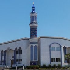
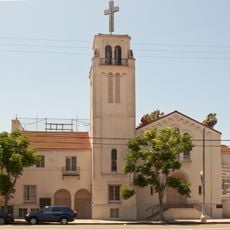
La Cienega Boulevard, Major arterial road in Los Angeles, United States
La Cienega Boulevard is a major arterial road stretching from Sunset Strip in West Hollywood to El Segundo Boulevard in Hawthorne, crossing through multiple neighborhoods. The street connects diverse areas across Los Angeles County, passing through regions with varied character, from commercial to residential zones.
The name comes from Rancho Las Cienegas, referencing natural marshland areas that once existed south of Rancho La Brea before urbanization reshaped the landscape. As the 20th century progressed, the boulevard developed into a vital thoroughfare for the rapidly expanding city's traffic.
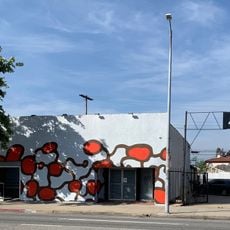
The section between Beverly Boulevard and Santa Monica Boulevard is home to the Design Quarter, where art galleries, furniture shops, and antique dealers sit side by side. This area draws visitors and collectors looking for distinctive pieces and contemporary works.
Public transportation serves this street, including Metro Local line 105 running along the boulevard and the elevated La Cienega/Jefferson station providing access to the Metro E Line. Driving conditions improve outside peak hours when traffic flows more easily and navigation becomes simpler.
Between Obama Boulevard and Manchester Avenue, the street operates as a divided expressway with minimal traffic signals and limited entry points. This section allows faster speeds and stands apart from other portions of the boulevard with its many shops and crossings.
The community of curious travelers
AroundUs brings together thousands of curated places, local tips, and hidden gems, enriched daily by 60,000 contributors worldwide.