Enable Location

We need your location to show you interesting places around you

Discover nearby places

Find interesting locations and hidden gems around you

Precise directions

Get accurate directions and distances to places

Your location is never shared with other users. It's only used when you tap the location button.

Ixtapaluca

Log in to your account

Start exploring — it's free

Trusted by 62,858 travelers worldwide

Continue with Google
Continue with Apple
or

We will send you a code to connect

By continuing, you accept our Terms and Conditions and our Privacy Policy

Check your inbox

We've sent a pincode in your inbox. Please enter the code below.

Ixtapaluca

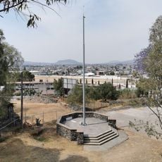
Ixtapaluca, Municipality in Mexico State, Mexico

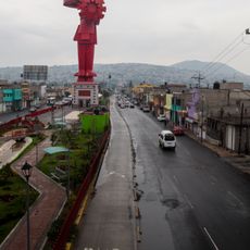
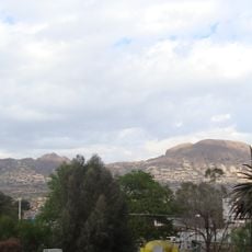
Ixtapaluca is a municipality in Mexico State that spreads east of Mexico City and serves mainly as a residential area for commuters. The town sits at roughly 2,250 meters (7,380 feet) above sea level and borders Puebla state to the east, with major roads linking it directly to the capital.

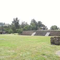
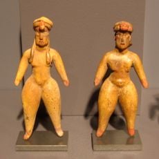
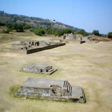
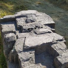
The area was settled in 1286 by the Mexica, who established a community here. Spanish rule began in 1543 when Juan de Cuéllar took control of the territory.

The name comes from Nahuatl and means „Where the salt gets wet,

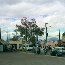
The municipality connects to Mexico City through main highways and public transport, making daily commuting possible. Visitors can reach the area easily by bus or car, with most activities taking place during daytime hours.

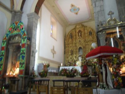
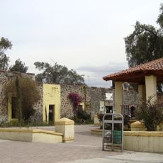
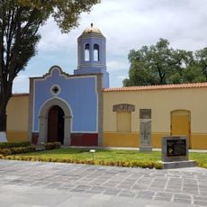
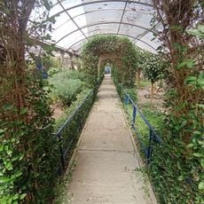
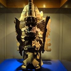
The Galería de Arte Xochipilli serves as the cultural hub of the municipality, offering rotating exhibitions and educational programs. The space brings together art and science, catering to visitors of all ages.

The community of curious travelers

AroundUs brings together thousands of curated places, local tips, and hidden gems, enriched daily by 60,000 contributors worldwide.

Start exploring
Location
Inception
December 5, 1820
Elevation above the sea
2,250 m
GPS coordinates
19.31861,-98.88222
Latest update
December 13, 2025 15:55
« Ixtapaluca - Municipality in Mexico State, Mexico » is provided by Around Us (aroundus.com). Images and texts are derived from Wikimedia project under a Creative Commons license. You are allowed to copy, distribute, and modify copies of this page, under the conditions set by the license, as long as this note is clearly visible.

Discover hidden gems everywhere you go!

From secret cafés to breathtaking viewpoints, skip the crowded tourist spots and find places that match your style. Our app makes it easy with voice search, smart filtering, route optimization, and insider tips from travelers worldwide. Download now for the complete mobile experience.

Around Us App Screenshot

A unique approach to discovering new places

Le Figaro

All the places worth exploring

France Info

A tailor-made excursion in just a few clicks

20 Minutes

Around Us
Travel Guide & Maps
Download

Send to your phone

QR Code
1

Open the camera app on your mobile.

2

Point at the QR code with your camera. A notification will appear.

3

Tap the notification to open the link.