
Manuel Tames, municipality in Cuba
Location: Guantánamo Province
Elevation above the sea: 175 m
GPS coordinates: 20.18028,-75.05139
Latest update: March 6, 2025 12:48
Camp Delta
31.3 km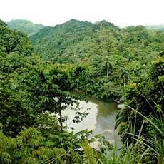
Alexander von Humboldt National Park
34.7 km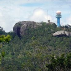
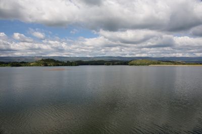
Baconao
50.2 km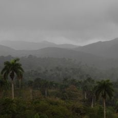
Sierra Cristal National Park
59.9 km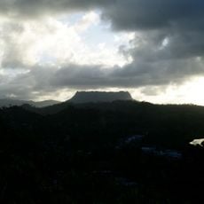
El Yunque, Cuba
53.4 km
Cuchillas del Toa
38.8 km
Archaeological Landscape of the First Coffee Plantations in the South-East of Cuba
39.3 km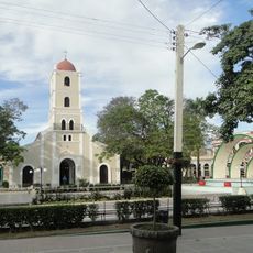
St. Catherine of Ricci Cathedral, Guantánamo
16.4 km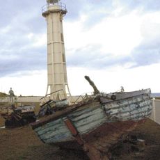
Windward Point Light
34.1 km
Reserva Ecológica Baitiquirí
25.6 km
Faro de Baracoa
60.8 km
Playa Daiquirí
68.1 km
Playa de Toa
59.3 km
Conde Beach
31.4 km
Playa Verraco
64 km
Pico Mogote
58.8 km
Loma La Farola
60.8 km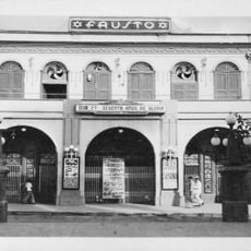
Teatro Fausto
16.5 km
Playa Larga
61.9 km
Río Tacre
56.1 km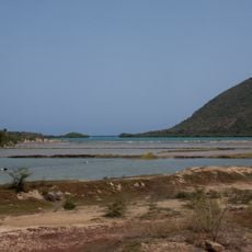
Las Salinas Baitiquirí
26.2 km
Río Jaibo
46.1 km
Río Majagua
41.3 km
Río Yamanigüey
55.2 km
Río Seco
53.7 km
Río Cañete
56.2 km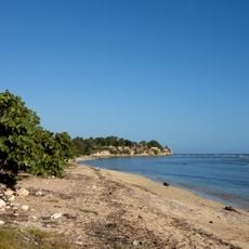
Playa Tortuguilla
26.2 km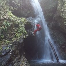
Salto Fino
43.9 kmReviews
Visited this place? Tap the stars to rate it and share your experience / photos with the community! Try now! You can cancel it anytime.
Discover hidden gems everywhere you go!
From secret cafés to breathtaking viewpoints, skip the crowded tourist spots and find places that match your style. Our app makes it easy with voice search, smart filtering, route optimization, and insider tips from travelers worldwide. Download now for the complete mobile experience.

A unique approach to discovering new places❞
— Le Figaro
All the places worth exploring❞
— France Info
A tailor-made excursion in just a few clicks❞
— 20 Minutes