Enable Location

We need your location to show you interesting places around you

Discover nearby places

Find interesting locations and hidden gems around you

Precise directions

Get accurate directions and distances to places

Your location is never shared with other users. It's only used when you tap the location button.

Spanish Wells

Log in to your account

Start exploring — it's free

Trusted by 62,179 travelers worldwide

Continue with Google
Continue with Apple
or

We will send you a code to connect

By continuing, you accept our Terms and Conditions and our Privacy Policy

Check your inbox

We've sent a pincode in your inbox. Please enter the code below.

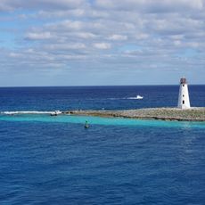
Spanish Wells, Administrative district in northern Eleuthera, The Bahamas

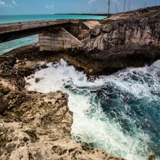
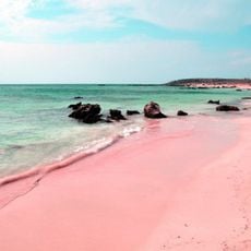
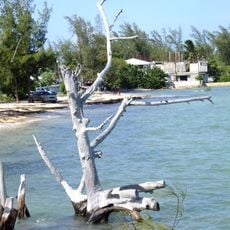
Spanish Wells is a settlement on St. George's Cay off northern Eleuthera, extending as a narrow strip of land lined with white sand beaches. The island connects to Russell Island via bridge and supports a small, stable population that relies on the surrounding waters for its economy.

The settlement takes its name from Spanish ships that stopped to collect water from local wells during their voyages back to Europe. This early connection to European seafarers influenced the island's settlement patterns and development.

Residents maintain strong ties to their Puritan and Loyalist ancestors who arrived in the 18th century, with these roots shaping community life and identity today. The close-knit nature of the settlement reflects deep family bonds that span generations.

Golf carts serve as the primary transportation method across the small island, making movement between areas straightforward and relaxed. Since the settlement is narrow and elongated, most places are reachable on foot or by cart within a short time.

The area is known for producing a significant portion of The Bahamas' lobster exports using traditional diving methods practiced by locals. This specialized fishing activity has shaped the local economy and daily rhythm of life for generations.

The community of curious travelers

AroundUs brings together thousands of curated places, local tips, and hidden gems, enriched daily by 60,000 contributors worldwide.

Start exploring
Location
Elevation above the sea
8 m
Address
Spanish Wells, The Bahamas
GPS coordinates
25.54583,-76.76111
Latest update
December 6, 2025 16:02
Bahamas: pink sand beaches, turquoise lagoons, islands and fishing villages

The Bahamas are a group of islands where each one has its own special features. You will see beaches with white or pink sand, clear water lagoons, and many kinds of sea life. From Nassau, the main city for visitors and government, to Eleuthera with its fishing villages, the islands invite you to see...

« Spanish Wells - Administrative district in northern Eleuthera, The Bahamas » is provided by Around Us (aroundus.com). Images and texts are derived from Wikimedia project under a Creative Commons license. You are allowed to copy, distribute, and modify copies of this page, under the conditions set by the license, as long as this note is clearly visible.

Discover hidden gems everywhere you go!

From secret cafés to breathtaking viewpoints, skip the crowded tourist spots and find places that match your style. Our app makes it easy with voice search, smart filtering, route optimization, and insider tips from travelers worldwide. Download now for the complete mobile experience.

Around Us App Screenshot

A unique approach to discovering new places

Le Figaro

All the places worth exploring

France Info

A tailor-made excursion in just a few clicks

20 Minutes

Around Us
Travel Guide & Maps
Download

Send to your phone

QR Code
1

Open the camera app on your mobile.

2

Point at the QR code with your camera. A notification will appear.

3

Tap the notification to open the link.