Chest opened
+${chestReward.xp} XP
Explorer
NOUVEAU ×${chestReward.collectible.quantity}
tapez pour fermer
Chest locked

Open chests in the app

Around Us is built for your phone — chests unlock when you walk, explore and capture nearby places.

Enable Location

We need your location to show you interesting places around you

Discover nearby places

Find interesting locations and hidden gems around you

Precise directions

Get accurate directions and distances to places

Your location is never shared with other users. It's only used when you tap the location button.

Cape San Blas

Log in to your account

Start exploring — it's free

Trusted by 72,880 travelers worldwide

Continue with Google
Continue with Apple
or

We will send you a code to connect

By continuing, you accept our Terms and Conditions and our Privacy Policy

Check your inbox

We've sent a pincode in your inbox. Please enter the code below.

Cape San Blas
Discussion Reviews 1 Photos
45.1k Popularity

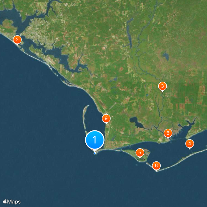
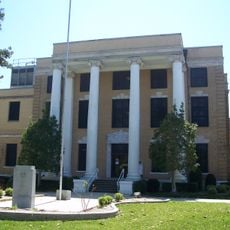
Cape San Blas, Peninsula cape in Gulf County, Florida, US.

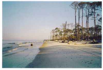
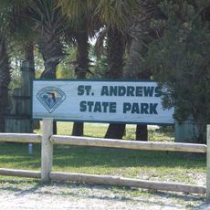
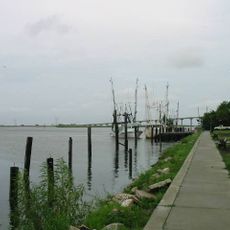
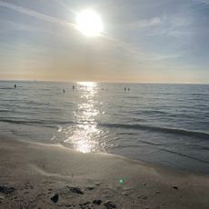
Cape San Blas is a natural peninsula extending westward from mainland Florida that forms a barrier between St Joseph Bay and the Gulf of Mexico. The area comprises roughly 1,900 acres of wilderness protected as a state park with sandy beaches, dune systems, and coastal forests along its length.

During the Civil War, Confederate forces operated a saltworks here that produced salt through seawater evaporation until Union troops destroyed it in 1862. This facility was an important supply source for the Southern war effort before its demolition.

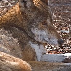
The cape draws people who come to watch sea turtles nest along its shores during breeding season from May through October. This natural event brings the area's wildlife into focus for those visiting the state park.

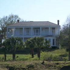
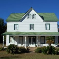
The cape is lined with vacation rentals rather than tall buildings, keeping the area low-key and accessible. Basic supplies are found at the local trading post, while larger grocery shopping requires a short trip to the nearby town.

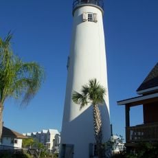
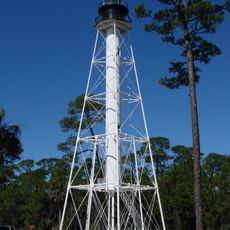
Four lighthouse structures were built here between 1847 and 1883, with three succumbing to severe weather before an iron-frame version finally succeeded. This succession of towers shows how storms shaped engineering decisions over time.

The community of curious travelers

AroundUs brings together thousands of curated places, local tips, and hidden gems, enriched daily by 60,000 contributors worldwide.

Start exploring
Location
GPS coordinates
29.66361,-85.35556
Latest update
December 14, 2025 20:21
Around this place
St. Andrews State Park
United States of America

St. Andrews State Park

64.5 km
Fort Gadsden
United States of America

Fort Gadsden

44.4 km
St. George Island Bridge
United States of America

St. George Island Bridge

46 km
St. Vincent National Wildlife Refuge
United States of America

St. Vincent National Wildlife Refuge

21.9 km
Cape St. George Light
United States of America

Cape St. George Light

31 km
Cape San Blas Light
United States of America

Cape San Blas Light

851 m
Orman House
United States of America

Orman House

36.1 km
Constitution Convention Museum State Park
United States of America

Constitution Convention Museum State Park

15.4 km
John Gorrie State Museum
United States of America

John Gorrie State Museum

36.5 km
John Gorrie Memorial Bridge
United States of America

John Gorrie Memorial Bridge

40.9 km
Bay County Courthouse
United States of America

Bay County Courthouse

62 km
First Baptist Church
United States of America

First Baptist Church

62.6 km
Apalachicola Historic District
United States of America

Apalachicola Historic District

35.9 km
Centennial Building
United States of America

Centennial Building

15.6 km
Old Gulf County Courthouse
United States of America

Old Gulf County Courthouse

52.5 km
Robert L. McKenzie House
United States of America

Robert L. McKenzie House

62 km
St. Joseph Catholic Mission Church
United States of America

St. Joseph Catholic Mission Church

16.9 km
Sapp House
United States of America

Sapp House

61.9 km
David G. Raney House
United States of America

David G. Raney House

36.5 km
A. A. Payne-John Christo, Sr., House
United States of America

A. A. Payne-John Christo, Sr., House

63.3 km
Sherman Arcade
United States of America

Sherman Arcade

62.1 km
Panama City Center for the Arts
United States of America

Panama City Center for the Arts

62.1 km
Science and Discovery Center of Northwest Florida
United States of America

Science and Discovery Center of Northwest Florida

64.7 km
Schmidt-Godert Farm
United States of America

Schmidt-Godert Farm

55.6 km
Port Theatre
United States of America

Port Theatre

17.4 km
Science & Discovery Center of Northwest Florida
United States of America

Science & Discovery Center of Northwest Florida

64.7 km
Gorrie Museum
United States of America

Gorrie Museum

36.4 km
Sand Beach
United States of America

Sand Beach

46.7 km
Show the full map
Reviews
Share your experience

No review yet

Discussions
Start a discussion...

No discussion yet

« Cape San Blas - Peninsula cape in Gulf County, Florida, US » is provided by Around Us (aroundus.com). Images and texts are derived from Wikimedia project under a Creative Commons license. You are allowed to copy, distribute, and modify copies of this page, under the conditions set by the license, as long as this note is clearly visible.

Discover hidden gems everywhere you go!

From secret cafés to breathtaking viewpoints, skip the crowded tourist spots and find places that match your style. Our app makes it easy with voice search, smart filtering, route optimization, and insider tips from travelers worldwide. Download now for the complete mobile experience.

Around Us App Screenshot

A unique approach to discovering new places

Le Figaro

All the places worth exploring

France Info

A tailor-made excursion in just a few clicks

20 Minutes

Around Us
Travel Guide & Maps
Download

Send to your phone

QR Code
1

Open the camera app on your mobile.

2

Point at the QR code with your camera. A notification will appear.

3

Tap the notification to open the link.