Chest opened
+${chestReward.xp} XP
Explorer
NOUVEAU ×${chestReward.collectible.quantity}
tapez pour fermer
Chest locked

Open chests in the app

Around Us is built for your phone — chests unlock when you walk, explore and capture nearby places.

Enable Location

We need your location to show you interesting places around you

Discover nearby places

Find interesting locations and hidden gems around you

Precise directions

Get accurate directions and distances to places

Your location is never shared with other users. It's only used when you tap the location button.

Keystone Heights

Log in to your account

Start exploring — it's free

Trusted by 72,878 travelers worldwide

Continue with Google
Continue with Apple
or

We will send you a code to connect

By continuing, you accept our Terms and Conditions and our Privacy Policy

Check your inbox

We've sent a pincode in your inbox. Please enter the code below.

Discussion Reviews 1 Photos
16.1k Popularity

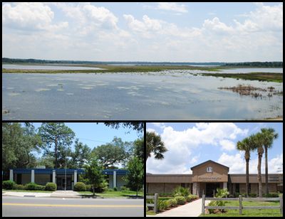
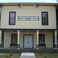
Keystone Heights, Administrative city in Clay County, Florida, US

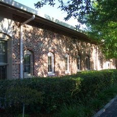
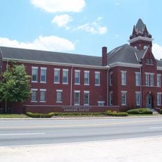
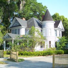
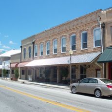
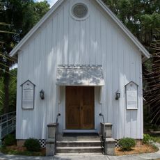
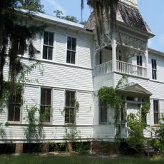
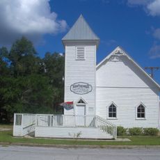
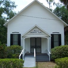
Keystone Heights is a city in southwestern Clay County, Florida, functioning as the main economic hub of the Lake Region district. The community includes public schools and local services that support daily life for its residents.

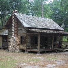
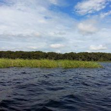
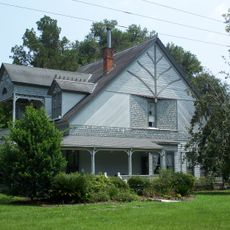
The settlement began in 1917 as the Brooklyn community, with developer John Lawrence building the first house in 1920 near Lake Geneva. These early foundations established the basis for its later growth as a regional center.

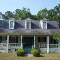
The city's name comes from Pennsylvania's Keystone State nickname, honoring the northern heritage of those who first settled here.

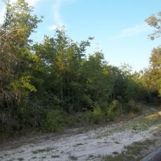
The city offers public schools and basic services for daily needs and activities. Visitors should allow time to explore the quiet residential areas and lakes that define the town's character.

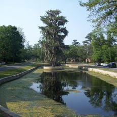
A Moon Tree seedling growing at the library since 1984 orbited the moon 34 times during the Apollo 14 mission. This unusual tree connects the community to space exploration history and draws curious visitors.

The community of curious travelers

AroundUs brings together thousands of curated places, local tips, and hidden gems, enriched daily by 60,000 contributors worldwide.

Start exploring
GPS coordinates
29.78608,-82.03149
Latest update
December 7, 2025 19:28
Around this place
Mike Roess Gold Head Branch State Park
United States of America

Mike Roess Gold Head Branch State Park

9.1 km
Gainesville-Hawthorne Trail State Park
United States of America

Gainesville-Hawthorne Trail State Park

26.5 km
Etoniah Creek State Forest
United States of America

Etoniah Creek State Forest

18.5 km
Belmore State Forest
United States of America

Belmore State Forest

16.6 km
Morningside Nature Center
United States of America

Morningside Nature Center

27.6 km
United States of America

Matheson House

31.7 km
Masonic Temple
United States of America

Masonic Temple

32 km
Mary Phifer McKenzie House
United States of America

Mary Phifer McKenzie House

31.6 km
Lake Pithlachocco Canoe Site
United States of America

Lake Pithlachocco Canoe Site

21.5 km
Star Garage
United States of America

Star Garage

32 km
Old Bradford County Courthouse
United States of America

Old Bradford County Courthouse

19.2 km
Maj. James B. Bailey House
United States of America

Maj. James B. Bailey House

32 km
Northeast Gainesville Residential District
United States of America

Northeast Gainesville Residential District

31.4 km
Southeast Gainesville Residential District
United States of America

Southeast Gainesville Residential District

31.6 km
Call Street Historic District
United States of America

Call Street Historic District

19 km
Trinity Episcopal Church
United States of America

Trinity Episcopal Church

8.5 km
Melrose Historic District
United States of America

Melrose Historic District

8.4 km
Rochelle School
United States of America

Rochelle School

28.4 km
Neilson House
United States of America

Neilson House

21.3 km
Memorial Home Community Historic District
United States of America

Memorial Home Community Historic District

30.7 km
Hawthorne Historical Museum and Cultural Center
United States of America

Hawthorne Historical Museum and Cultural Center

22.7 km
Woman's Club of Starke
United States of America

Woman's Club of Starke

19.2 km
St. Mark's Episcopal Church
United States of America

St. Mark's Episcopal Church

19 km
Waldo Historic District
United States of America

Waldo Historic District

13.4 km
Melrose Woman's Club
United States of America

Melrose Woman's Club

8.5 km
Interlachen Hall
United States of America

Interlachen Hall

22.6 km
Hoggetowne Middle School
United States of America

Hoggetowne Middle School

30.4 km
Florida Twin Theatre
United States of America

Florida Twin Theatre

19.2 km
Show the full map
Reviews
Share your experience

No review yet

Discussions
Start a discussion...

No discussion yet

« Keystone Heights - Administrative city in Clay County, Florida, US » is provided by Around Us (aroundus.com). Images and texts are derived from Wikimedia project under a Creative Commons license. You are allowed to copy, distribute, and modify copies of this page, under the conditions set by the license, as long as this note is clearly visible.

Discover hidden gems everywhere you go!

From secret cafés to breathtaking viewpoints, skip the crowded tourist spots and find places that match your style. Our app makes it easy with voice search, smart filtering, route optimization, and insider tips from travelers worldwide. Download now for the complete mobile experience.

Around Us App Screenshot

A unique approach to discovering new places

Le Figaro

All the places worth exploring

France Info

A tailor-made excursion in just a few clicks

20 Minutes

Around Us
Travel Guide & Maps
Download

Send to your phone

QR Code
1

Open the camera app on your mobile.

2

Point at the QR code with your camera. A notification will appear.

3

Tap the notification to open the link.