St. Lucie Village Historic District

Log in to your account

AroundUs is a community-driven map of interesting places, built by curious explorers like you. It grows with every review, story, and photo you share.
Connect to save your favorite spots, contribute locations, and create personalized routes.
Continue with Google
Continue with Apple
Continue with X
Continue with Facebook
Continue with email
By continuing, you accept our Terms and Conditions and our Privacy Policy
Create an account
Add to collection
Map
Suggest a change
Share

St. Lucie Village Historic District, Historic district in St. Lucie Village, Florida.

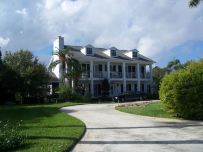
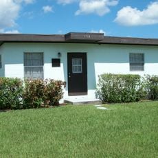
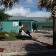
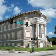
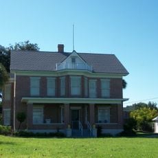
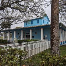
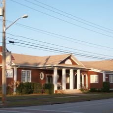
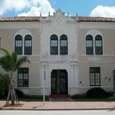
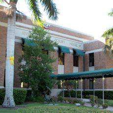
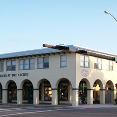
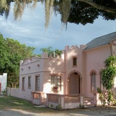
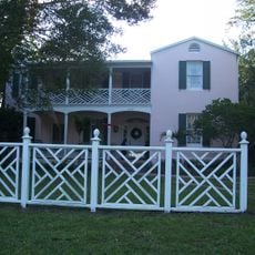
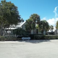
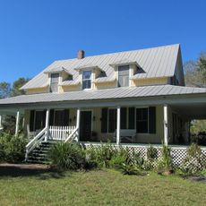
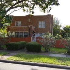
St. Lucie Village Historic District is a residential area in Florida containing about 35 buildings spread along North Indian River Drive, featuring construction styles ranging from simple wooden frames to Late Victorian designs. The area maintains its original street pattern and primarily residential character, with structures distributed across several miles.

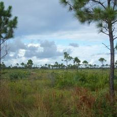
The area grew from settlements established during the Third Seminole War in the 1850s, with Fort Capron serving as a central point for the developing community. Most buildings visible today were constructed between 1850 and 1928, marking a period of gradual growth and residential expansion.

The buildings show how residents chose to construct their homes from the mid-1800s through the early 1900s, mixing simple wooden structures with more elaborate designs. Walking through, you notice how these different styles sit side by side, revealing what mattered to people living here at that time.

The district spreads along North Indian River Drive over a considerable distance, making it helpful to drive or plan for longer walks to see the various buildings. The original street layout makes navigation straightforward, though the scattered placement of structures means you may want to focus on specific sections rather than trying to see everything at once.

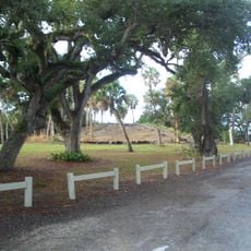
A stone marker along North Indian River Drive indicates where Fort Capron once stood, marking the spot where the region's early settlement began. The palm-lined median of Chamberlin Boulevard adds a distinctive planted element to the landscape that many visitors pass through without noticing.

Location: Florida

GPS coordinates: 27.48806,-80.33611

Latest update: December 14, 2025 17:42

Photos
Around this place
National Navy UDT-SEAL Museum
United States of America

National Navy UDT-SEAL Museum

3.6 km
Sunrise Theatre
United States of America

Sunrise Theatre

4.8 km
Fort Pierce Inlet State Park
United States of America

Fort Pierce Inlet State Park

3.3 km
McKee Botanical Garden
United States of America

McKee Botanical Garden

14.1 km
Savannas Preserve State Park
United States of America

Savannas Preserve State Park

12.5 km
Old Fort Pierce Park
United States of America

Old Fort Pierce Park

6 km
Alma Lee Loy Bridge
United States of America

Alma Lee Loy Bridge

16.5 km
Avalon State Park
United States of America

Avalon State Park

5.9 km
Zora Neale Hurston House
United States of America

Zora Neale Hurston House

3.1 km
A. E. Backus Gallery & Museum
United States of America

A. E. Backus Gallery & Museum

4.1 km
Old St. Anastasia Catholic School
United States of America

Old St. Anastasia Catholic School

4.6 km
Heathcote Botanical Gardens
United States of America

Heathcote Botanical Gardens

7.9 km
Hallstrom House
United States of America

Hallstrom House

10 km
St. Lucie County Aquarium
United States of America

St. Lucie County Aquarium

3.7 km
Vero Theatre
United States of America

Vero Theatre

17.9 km
Moores Creek Bridge
United States of America

Moores Creek Bridge

4.3 km
Immokolee
United States of America

Immokolee

7.3 km
Vero Beach Woman's Club
United States of America

Vero Beach Woman's Club

18 km
Old Fort Pierce City Hall
United States of America

Old Fort Pierce City Hall

4.6 km
Old Indian River County Courthouse
United States of America

Old Indian River County Courthouse

18 km
Casa Caprona
United States of America

Casa Caprona

1.6 km
Royal Park Arcade
United States of America

Royal Park Arcade

17.8 km
Jules Frere House
United States of America

Jules Frere House

7.1 km
Judge Henry F. Gregory House
United States of America

Judge Henry F. Gregory House

17.9 km
St. Lucie County Historical Museum
United States of America

St. Lucie County Historical Museum

3.8 km
Captain Hammond House
United States of America

Captain Hammond House

13.9 km
Osceola Park Historic Residential District
United States of America

Osceola Park Historic Residential District

17.9 km
Saint Lucie County Regional History Center
United States of America

Saint Lucie County Regional History Center

3.7 km
Show the full map
Reviews

Visited this place? Tap the stars to rate it and share your experience / photos with the community! Try now! You can cancel it anytime.

« St. Lucie Village Historic District - Historic district in St. Lucie Village, Florida » is provided by Around Us (aroundus.com). Images and texts are derived from Wikimedia project under a Creative Commons license. You are allowed to copy, distribute, and modify copies of this page, under the conditions set by the license, as long as this note is clearly visible.

Discover hidden gems everywhere you go!

From secret cafés to breathtaking viewpoints, skip the crowded tourist spots and find places that match your style. Our app makes it easy with voice search, smart filtering, route optimization, and insider tips from travelers worldwide. Download now for the complete mobile experience.

Around Us App Screenshot

A unique approach to discovering new places

Le Figaro

All the places worth exploring

France Info

A tailor-made excursion in just a few clicks

20 Minutes