Enable Location

We need your location to show you interesting places around you

Discover nearby places

Find interesting locations and hidden gems around you

Precise directions

Get accurate directions and distances to places

Your location is never shared with other users. It's only used when you tap the location button.

Brevard County

Log in to your account

Start exploring — it's free

Trusted by 61,612 travelers worldwide

Continue with Google
Continue with Apple
or

We will send you a code to connect

By continuing, you accept our Terms and Conditions and our Privacy Policy

Check your inbox

We've sent a pincode in your inbox. Please enter the code below.

Brevard County, Administrative region in Florida, US

Description

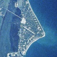
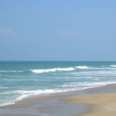
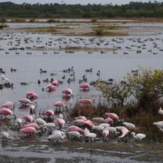
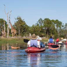
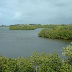
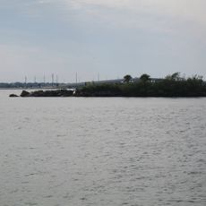
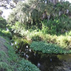
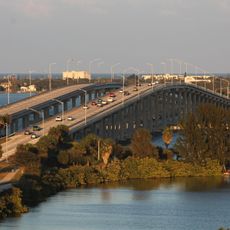
Brevard County is a governmental district in Florida that spans the Atlantic coast and includes mainland areas, barrier islands, and waterways such as the Indian River Lagoon. The region combines urban centers, natural reserves, and space industry facilities across a territory that reaches from inland areas to the ocean.

History

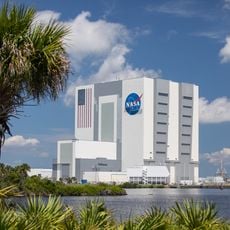
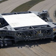
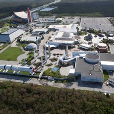
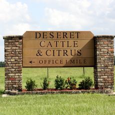
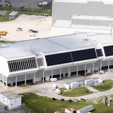
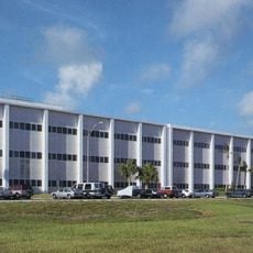
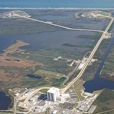
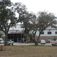
The territory was formed in 1844 as Santa Lucia County and renamed in 1855 after a 19th-century judge. Development accelerated in the 20th century with the establishment of space facilities, which transformed the economic and demographic structure of the area.

Culture

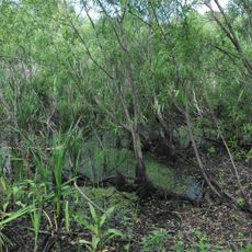
The county contains the Windover Archaeological Site, with evidence of human settlements and remains dating back more than 7,000 years.

Practical

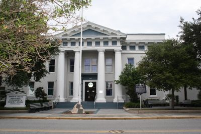
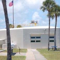
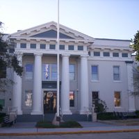
Administration is split between Titusville, the official seat, and Viera, where additional public facilities are located. Visitors find information and orientation in both centers, depending on the service or inquiry needed.

Did you know?

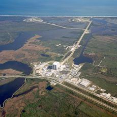
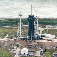
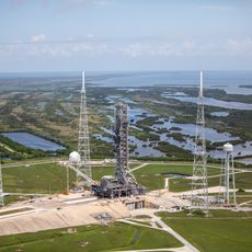
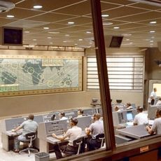
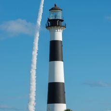
The area code 321 was chosen to match the countdown sequence before rocket launches. This connection to space exploration appears in daily life as residents often watch the sky when launches occur from the nearby spaceport.

Location
Inception
1844
Capital city
Titusville
Shares border with
Volusia County, Indian River County, Osceola County, Orange County, Seminole County
GPS coordinates
28.30000,-80.70000
Latest update
December 14, 2025 22:32

AroundUs brings together thousands of curated places, local tips, and hidden gems, enriched daily by 60,000 contributors worldwide. Discover all places nearby (Florida).

Around this place
Kennedy Space Center Launch Complex 39
United States of America

Kennedy Space Center Launch Complex 39

33.5 km
Vehicle Assembly Building
United States of America

Vehicle Assembly Building

32.2 km
Cape Canaveral Space Force Station
United States of America

Cape Canaveral Space Force Station

24.2 km
Crawler-transporter
United States of America

Crawler-transporter

32.4 km
Kennedy Space Center Visitor Complex
United States of America

Kennedy Space Center Visitor Complex

24.9 km
Kennedy Space Center Launch Complex 39A
United States of America

Kennedy Space Center Launch Complex 39A

35.6 km

Deseret Ranches
United States of America

Deseret Ranches

22.2 km
Space Mirror Memorial
United States of America

Space Mirror Memorial

25.1 km
Playalinda Beach
United States of America

Playalinda Beach

41 km
Windover Archaeological Site
United States of America

Windover Archaeological Site

30 km
Rocco A. Petrone Launch Control Center
United States of America

Rocco A. Petrone Launch Control Center

32.1 km
Kennedy Space Center Launch Complex 39B
United States of America

Kennedy Space Center Launch Complex 39B

37.2 km
United States Astronaut Hall of Fame
United States of America

United States Astronaut Hall of Fame

26.5 km
Merritt Island National Wildlife Refuge
United States of America

Merritt Island National Wildlife Refuge

24.3 km
Brevard Zoo
United States of America

Brevard Zoo

8.4 km
Operations and Checkout Building
United States of America

Operations and Checkout Building

25.5 km
Mercury Control Center
United States of America

Mercury Control Center

21.5 km
Sebastian Inlet State Park
United States of America

Sebastian Inlet State Park

55.9 km
Crawlerway
United States of America

Crawlerway

34.1 km
Merritt Island Dragon
United States of America

Merritt Island Dragon

19.9 km
Valiant Air Command Warbird Museum
United States of America

Valiant Air Command Warbird Museum

26.4 km
Cape Canaveral Light
United States of America

Cape Canaveral Light

23.5 km
Cape Canaveral Space Force Museum
United States of America

Cape Canaveral Space Force Museum

20.4 km
McLarty Treasure Museum
United States of America

McLarty Treasure Museum

58.1 km
Space Shuttle Atlantis
United States of America

Space Shuttle Atlantis

25.1 km
Melbourne Bone Bed
United States of America

Melbourne Bone Bed

24.3 km
Melbourne Causeway
United States of America

Melbourne Causeway

26.3 km
Show the full map
Administrative divisions
« Brevard County - Administrative region in Florida, US » is provided by Around Us (aroundus.com). Images and texts are derived from Wikimedia project under a Creative Commons license. You are allowed to copy, distribute, and modify copies of this page, under the conditions set by the license, as long as this note is clearly visible.

Discover hidden gems everywhere you go!

From secret cafés to breathtaking viewpoints, skip the crowded tourist spots and find places that match your style. Our app makes it easy with voice search, smart filtering, route optimization, and insider tips from travelers worldwide. Download now for the complete mobile experience.

Around Us App Screenshot

A unique approach to discovering new places

Le Figaro

All the places worth exploring

France Info

A tailor-made excursion in just a few clicks

20 Minutes

Around Us
Travel Guide & Maps
Download

Send to your phone

QR Code
1

Open the camera app on your mobile.

2

Point at the QR code with your camera. A notification will appear.

3

Tap the notification to open the link.