Chest opened
+${chestReward.xp} XP
Explorer
NOUVEAU ×${chestReward.collectible.quantity}
tapez pour fermer

See the monuments around you in AR Open chests in the app

Around Us is built for your phone — point your camera at the streets and discover the monuments and places around you in augmented reality. Around Us is built for your phone — chests unlock when you walk, explore and capture nearby places.

•

Enable Location

We need your location to show you interesting places around you

Discover nearby places

Find interesting locations and hidden gems around you

Precise directions

Get accurate directions and distances to places

Your location is never shared with other users. It's only used when you tap the location button.

Matanzas River

Log in to your account

Start exploring — it's free

Trusted by 94,481 travelers worldwide

Continue with Google
Continue with Apple
or

We will send you a code to connect

By continuing, you accept our Terms and Conditions and our Privacy Policy

Check your inbox

We've sent a pincode in your inbox. Please enter the code below.

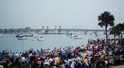
Matanzas River, River in Florida, United States

The Matanzas River is a river in northeastern Florida, United States. It runs along a narrow strip of land and is connected to the Atlantic Ocean through inlets, with salt marshes and small islands along its course.

The river was named by Spanish explorers in the 16th century after a battle with French forces. In the 18th century, the British built a road along its banks, and later the area became part of the Intracoastal Waterway.

The river's name comes from the Spanish word for slaughter, linked to a 16th-century clash between Spanish and French forces near its mouth. Today, locals use the waterway for fishing and boating, and its banks are dotted with small communities that keep a slow, water-oriented rhythm.

The river is best explored by boat, as public access points are limited and many shores are marshy. Check local tide charts before heading out, since water levels change noticeably and some areas become shallow at low tide.

The river is part of the Intracoastal Waterway, a protected route for boats that runs along the US East Coast. Its water is brackish, mixing fresh water from inland streams with salt water from the ocean, which supports a mix of fish and bird life.

The community of curious travelers

AroundUs brings together thousands of curated places, local tips, and hidden gems, enriched daily by 94,481 contributors worldwide.
Start exploring
GPS coordinates
29.91386,-81.28368
Latest update
November 10, 2026 08:26
Around this place
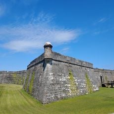
Castillo de San Marcos
United States of America

Castillo de San Marcos

2 mi
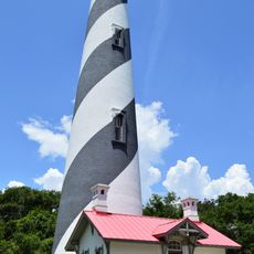
St. Augustine Light
United States of America

St. Augustine Light

2 mi
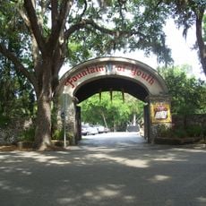
Fountain of Youth Archaeological Park
United States of America

Fountain of Youth Archaeological Park

2 mi
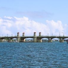
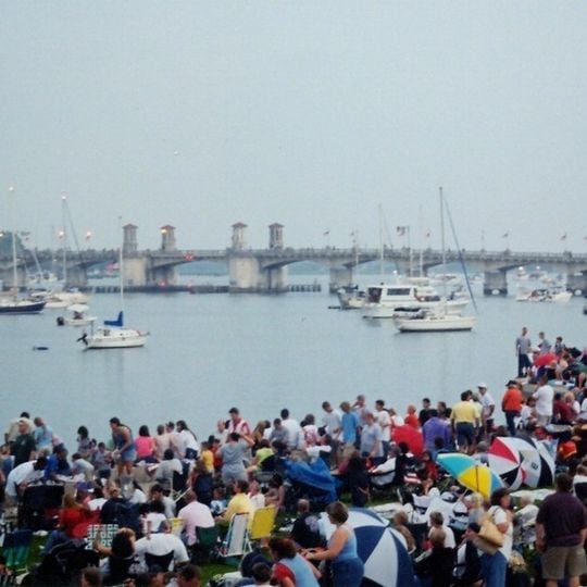
Bridge of Lions
United States of America

Bridge of Lions

2 mi
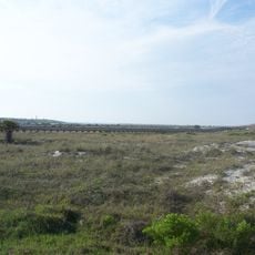
Anastasia State Park
United States of America

Anastasia State Park

1 mi
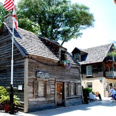
Oldest Wooden Schoolhouse
United States of America

Oldest Wooden Schoolhouse

2.1 mi
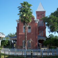
Old St. Johns County Jail
United States of America

Old St. Johns County Jail

2.1 mi
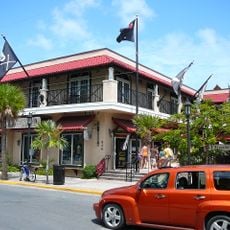
Pirate Soul Museum
United States of America

Pirate Soul Museum

2.1 mi
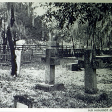
Huguenot Cemetery
United States of America

Huguenot Cemetery

2.1 mi
Colonial Quarter
United States of America

Colonial Quarter

2.1 mi
Avero House
United States of America

Avero House

2.1 mi
Abbott Tract Historic District
United States of America

Abbott Tract Historic District

2 mi
Nombre de Dios
United States of America

Nombre de Dios

2 mi
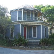
Clapp Octagon House
United States of America

Clapp Octagon House

1.9 mi
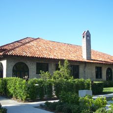
St. Augustine Civic Center
United States of America

St. Augustine Civic Center

2.1 mi
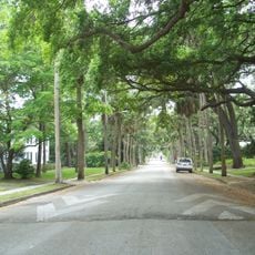
Nelmar Terrace Historic District
United States of America

Nelmar Terrace Historic District

2.1 mi
United States of America

Observation Platform

1.2 mi
United States of America

Saint Augustine Lighthouse & Museum

2 mi
United States of America

Old Town Trolley Tours

2.1 mi
United States of America

Ponce de Leon's Fountain of Youth Archeological Park

1.9 mi
United States of America

Old Town Trolley Welcome Center

2.1 mi

Vilano Point

0.7 mi
United States of America

Lion

1.9 mi
United States of America

Lion

1.9 mi
United States of America

Fuente De Los Canos De San Francisco

2.1 mi
United States of America

Scenic viewpoint

2.1 mi
United States of America

Statue, Work of art

2.1 mi
United States of America

The Pilgrim's Way to the Great Cross

2 mi
Show the full map
Reviews
Share your experience

No review yet

Discussions
Start a discussion...

No discussion yet

« Matanzas River - River in Florida, United States » is provided by Around Us (aroundus.com). Images and texts are derived from Wikimedia project under a Creative Commons license. You are allowed to copy, distribute, and modify copies of this page, under the conditions set by the license, as long as this note is clearly visible.

Discover hidden gems everywhere you go!

From secret cafés to breathtaking viewpoints, skip the crowded tourist spots and find places that match your style. Our app makes it easy with voice search, smart filtering, route optimization, and insider tips from travelers worldwide. Download now for the complete mobile experience.

Around Us App Screenshot
❝

A unique approach to discovering new places❞

— Le Figaro

❝

All the places worth exploring❞

— France Info

❝

A tailor-made excursion in just a few clicks❞

— 20 Minutes

Around Us
Travel Guide & Maps
Download

Send to your phone

QR Code
1

Open the camera app on your mobile.

2

Point at the QR code with your camera. A notification will appear.

3

Tap the notification to open the link.