Chest opened
+${chestReward.xp} XP
Explorer
NOUVEAU ×${chestReward.collectible.quantity}
tapez pour fermer
Chest locked

Open chests in the app

Around Us is built for your phone — chests unlock when you walk, explore and capture nearby places.

Enable Location

We need your location to show you interesting places around you

Discover nearby places

Find interesting locations and hidden gems around you

Precise directions

Get accurate directions and distances to places

Your location is never shared with other users. It's only used when you tap the location button.

Hastings

Log in to your account

Start exploring — it's free

Trusted by 72,863 travelers worldwide

Continue with Google
Continue with Apple
or

We will send you a code to connect

By continuing, you accept our Terms and Conditions and our Privacy Policy

Check your inbox

We've sent a pincode in your inbox. Please enter the code below.

Discussion Reviews 1 Photos
10.4k Popularity

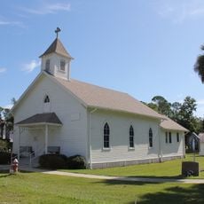
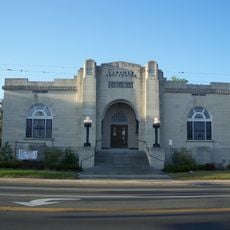
Hastings, Census-designated place in St. Johns County, Florida.

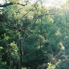
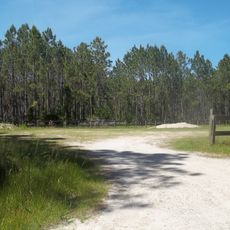
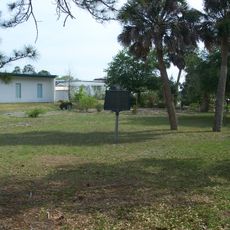
Hastings is a census-designated place in St. Johns County, in the northeastern part of Florida, where farmland and scattered homes make up much of the landscape. The terrain is flat and open, with fields extending in most directions around the small residential core.

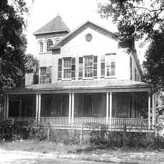
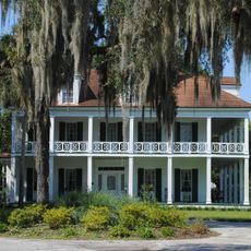
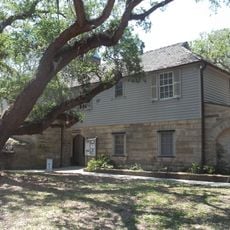
The settlement was established in the 1890s and grew without ever becoming an incorporated town. Over the following decades, farming shaped the character of the place more than any other force.

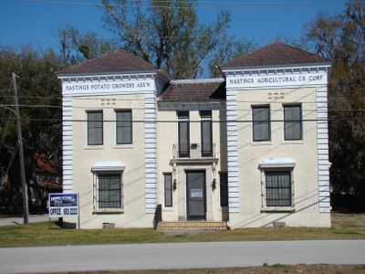
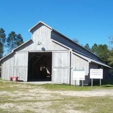
Hastings is widely known as a potato-growing community, and that identity remains visible in the fields that line the roads today. The pace of life here follows the rhythm of the growing season, and the landscape reflects that agricultural way of life.

A car is the best way to get around, since the farmland and homes are spread far apart across a flat, open area. There is little shade along the roads, so light clothing and water are worth bringing on warmer days.

Hastings was once known informally as the potato capital of Florida, a title that reflected how central the crop was to daily life here. That legacy is still visible in the fields that remain active around the edges of the community today.

The community of curious travelers

AroundUs brings together thousands of curated places, local tips, and hidden gems, enriched daily by 60,000 contributors worldwide.

Start exploring
Location
Inception
1890
Elevation above the sea
2 m
GPS coordinates
29.71667,-81.50833
Latest update
March 3, 2026 08:21
Around this place
Ravine Gardens State Park
United States of America

Ravine Gardens State Park

16.1 km
Lincolnville Historic District
United States of America

Lincolnville Historic District

26.5 km
Markland
United States of America

Markland

26.9 km
Grace United Methodist Church
United States of America

Grace United Methodist Church

25.8 km
Memorial Bridge
United States of America

Memorial Bridge

13.6 km
Fort Peyton
United States of America

Fort Peyton

18.7 km
Matanzas State Forest
United States of America

Matanzas State Forest

19.9 km
St. Benedict the Moor School
United States of America

St. Benedict the Moor School

26.6 km
St. Augustine Aquarium
United States of America

St. Augustine Aquarium

24.4 km
Bronson-Mulholland House
United States of America

Bronson-Mulholland House

13.8 km
Central Academy
United States of America

Central Academy

14.5 km
St. Mark's Episcopal Church
United States of America

St. Mark's Episcopal Church

13.9 km
St. Mary Catholic Church
United States of America

St. Mary Catholic Church

18 km
Hastings High School
United States of America

Hastings High School

697 m
Putnam County Courthouse
United States of America

Putnam County Courthouse

14.3 km
Fort Shannon
United States of America

Fort Shannon

15.8 km
Larimer Memorial Library
United States of America

Larimer Memorial Library

14.1 km
Florida Agricultural Museum
United States of America

Florida Agricultural Museum

23.5 km
Solla-Carcaba Cigar Factory
United States of America

Solla-Carcaba Cigar Factory

26.7 km
Fort Hanson
United States of America

Fort Hanson

18.7 km
Fort Matanzas National Monument Headquarters and Visitor Center
United States of America

Fort Matanzas National Monument Headquarters and Visitor Center

26.5 km
Sanchez Powder House Site
United States of America

Sanchez Powder House Site

26.7 km
Lincolnville Museum and Cultural Center
United States of America

Lincolnville Museum and Cultural Center

26.5 km
Fort Fulton
United States of America

Fort Fulton

25 km
Adventure Landing
United States of America

Adventure Landing

24.7 km
Hastings Community Center
United States of America

Hastings Community Center

187 m
Moultrie Church
United States of America

Moultrie Church

20 km
Bostwick School
United States of America

Bostwick School

13.6 km
Show the full map
Reviews
Share your experience

No review yet

Discussions
Start a discussion...

No discussion yet

« Hastings - Census-designated place in St. Johns County, Florida » is provided by Around Us (aroundus.com). Images and texts are derived from Wikimedia project under a Creative Commons license. You are allowed to copy, distribute, and modify copies of this page, under the conditions set by the license, as long as this note is clearly visible.

Discover hidden gems everywhere you go!

From secret cafés to breathtaking viewpoints, skip the crowded tourist spots and find places that match your style. Our app makes it easy with voice search, smart filtering, route optimization, and insider tips from travelers worldwide. Download now for the complete mobile experience.

Around Us App Screenshot

A unique approach to discovering new places

Le Figaro

All the places worth exploring

France Info

A tailor-made excursion in just a few clicks

20 Minutes

Around Us
Travel Guide & Maps
Download

Send to your phone

QR Code
1

Open the camera app on your mobile.

2

Point at the QR code with your camera. A notification will appear.

3

Tap the notification to open the link.