Enable Location

We need your location to show you interesting places around you

Discover nearby places

Find interesting locations and hidden gems around you

Precise directions

Get accurate directions and distances to places

Your location is never shared with other users. It's only used when you tap the location button.

St. Johns County

Log in to your account

Start exploring — it's free

Trusted by 62,561 travelers worldwide

Continue with Google
Continue with Apple
or

We will send you a code to connect

By continuing, you accept our Terms and Conditions and our Privacy Policy

Check your inbox

We've sent a pincode in your inbox. Please enter the code below.

St. Johns County, Coastal county in northeastern Florida, US

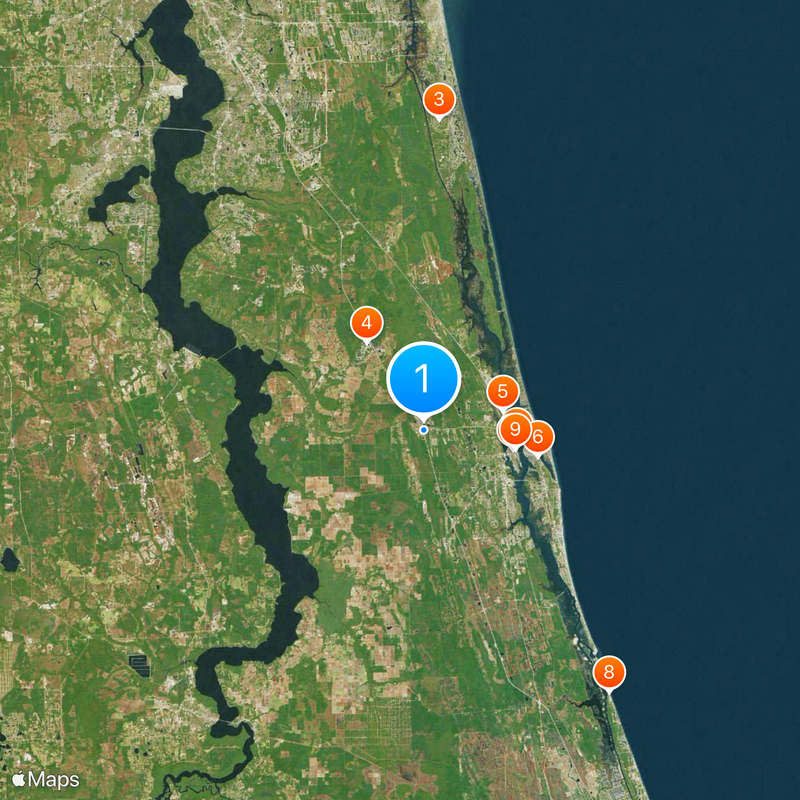
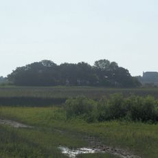
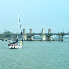
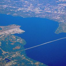
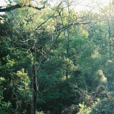
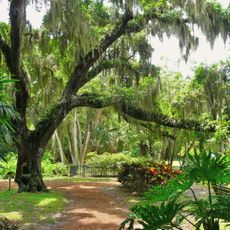
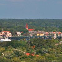
St. Johns County is an administrative area in northeastern Florida stretching between the Atlantic Ocean and the inland, covering beaches, waterways and wooded zones. The landscape shifts from ocean to shallow lagoons and pine forests that provide space for towns and natural reserves.

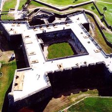
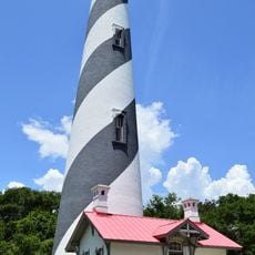
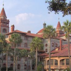
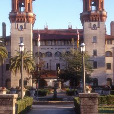
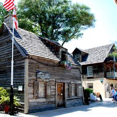
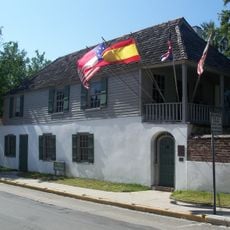
The area became an official administrative unit of Florida on July 21, 1821, after Spain ceded the region to the United States. Boundaries remained largely stable over two centuries and have included the oldest continuously inhabited European settlement in continental North America since their creation.

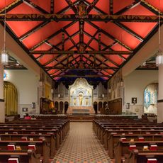
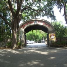
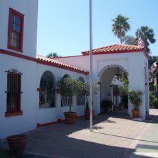
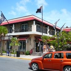
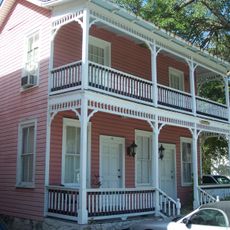
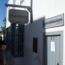
The name honors John the Baptist, as Spanish settlers called it in the 16th century, and this religious reference still shows in churches and historic sites along the coast. Visitors can trace how Catholic traditions shaped early life when walking through old quarters with their chapels and crosses.

Travelers reach the area via Interstate 95, which runs parallel to the coast, or smaller highways leading inland. Lodging options exist both by the sea and in the flatter hinterland, depending on preference for beach or quiet.

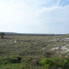
Between May and October, sea turtles return to the beaches to bury their eggs, and observers can occasionally spot the tracks in the sand at night. Volunteers then mark the nests and protect them until the hatchlings emerge.

The community of curious travelers

AroundUs brings together thousands of curated places, local tips, and hidden gems, enriched daily by 60,000 contributors worldwide.

Start exploring
Location
Inception
July 21, 1821
Capital city
St. Augustine
Reference
12-109
Shares border with
Duval County, Flagler County, Putnam County, Clay County
Website
GPS coordinates
29.91000,-81.41000
Latest update
December 13, 2025 18:21
Around this place
Castillo de San Marcos
United States of America

Castillo de San Marcos

9.6 km
TPC Sawgrass
United States of America

TPC Sawgrass

32 km
World Golf Hall of Fame
United States of America

World Golf Hall of Fame

10.7 km
Fort Mose
United States of America

Fort Mose

8.4 km
St. Augustine Light
United States of America

St. Augustine Light

12 km
Ponce de León Hotel
United States of America

Ponce de León Hotel

9.4 km
Marineland of Florida
United States of America

Marineland of Florida

33 km
Cathedral Basilica of St. Augustine
United States of America

Cathedral Basilica of St. Augustine

9.6 km
Lightner Museum
United States of America

Lightner Museum

9.5 km
Fountain of Youth Archaeological Park
United States of America

Fountain of Youth Archaeological Park

9.1 km
St. Augustine Alligator Farm Zoological Park
United States of America

St. Augustine Alligator Farm Zoological Park

12.1 km
Bridge of Lions
United States of America

Bridge of Lions

10 km
Buckman Bridge
United States of America

Buckman Bridge

39.8 km
Anastasia State Park
United States of America

Anastasia State Park

14.3 km
Oldest Wooden Schoolhouse
United States of America

Oldest Wooden Schoolhouse

9.4 km
Old St. Johns County Jail
United States of America

Old St. Johns County Jail

8.8 km
Ravine Gardens State Park
United States of America

Ravine Gardens State Park

38.2 km
St. Augustine Amphitheatre
United States of America

St. Augustine Amphitheatre

12.7 km
Washington Oaks State Gardens
United States of America

Washington Oaks State Gardens

36.5 km
Villa Zorayda
United States of America

Villa Zorayda

9.4 km
Medieval Torture Museum
United States of America

Medieval Torture Museum

9.5 km
Pirate Soul Museum
United States of America

Pirate Soul Museum

9.5 km
González-Alvarez House
United States of America

González-Alvarez House

10 km
Milam Residence
United States of America

Milam Residence

29.8 km
Shands Bridge
United States of America

Shands Bridge

21.5 km
Epping Forest
United States of America

Epping Forest

43.7 km
Lincolnville Historic District
United States of America

Lincolnville Historic District

9.6 km
Avero House
United States of America

Avero House

9.5 km
Show the full map
Administrative divisions
« St. Johns County - Coastal county in northeastern Florida, US » is provided by Around Us (aroundus.com). Images and texts are derived from Wikimedia project under a Creative Commons license. You are allowed to copy, distribute, and modify copies of this page, under the conditions set by the license, as long as this note is clearly visible.

Discover hidden gems everywhere you go!

From secret cafés to breathtaking viewpoints, skip the crowded tourist spots and find places that match your style. Our app makes it easy with voice search, smart filtering, route optimization, and insider tips from travelers worldwide. Download now for the complete mobile experience.

Around Us App Screenshot

A unique approach to discovering new places

Le Figaro

All the places worth exploring

France Info

A tailor-made excursion in just a few clicks

20 Minutes

Around Us
Travel Guide & Maps
Download

Send to your phone

QR Code
1

Open the camera app on your mobile.

2

Point at the QR code with your camera. A notification will appear.

3

Tap the notification to open the link.