Enable Location

We need your location to show you interesting places around you

Discover nearby places

Find interesting locations and hidden gems around you

Precise directions

Get accurate directions and distances to places

Your location is never shared with other users. It's only used when you tap the location button.

Camden County

Log in to your account

Start exploring — it's free

Trusted by 63,043 travelers worldwide

Continue with Google
Continue with Apple
or

We will send you a code to connect

By continuing, you accept our Terms and Conditions and our Privacy Policy

Check your inbox

We've sent a pincode in your inbox. Please enter the code below.

Discussion Reviews 1 Photos
31.9k Popularity

Camden County, Administrative division in Georgia, United States.

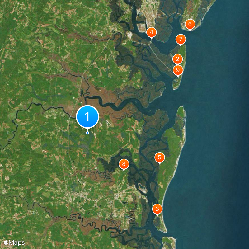
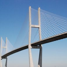
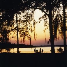
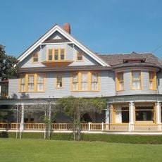
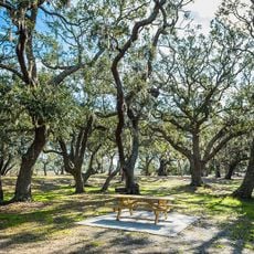
Camden County stretches along Georgia's Atlantic coast and includes many waterways, wetlands, and barrier islands near the Florida border. The landscape features natural preserves, river deltas, and wide coastal zones shaped by water and tidal movements.

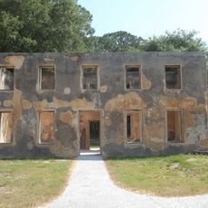
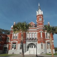
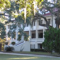
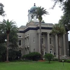
The territory was established as Camden County in 1777, making it the first county organized in Georgia after the Declaration of Independence. Early growth was tied to river access and maritime trade.

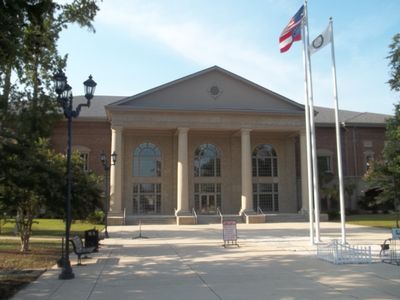
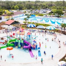
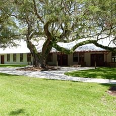
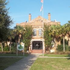
The county maintains several public libraries, parks, and recreation centers that provide educational programs and community services throughout the year.

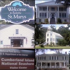
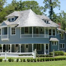
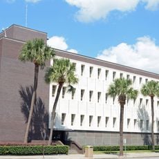
Visitors can reach the administrative center in Woodbine and explore the region's natural areas from there. The territory is best accessed by car, as travel between the various coastal sections and islands requires longer drives.

The area is home to Naval Submarine Base Kings Bay, a major coastal military installation. This base is a key reason why this sparsely populated coastal region remains economically significant.

The community of curious travelers

AroundUs brings together thousands of curated places, local tips, and hidden gems, enriched daily by 60,000 contributors worldwide.

Start exploring
Location
Inception
February 5, 1777
Capital city
Woodbine
Shares border with
Glynn County, Nassau County, Brantley County, Charlton County
GPS coordinates
30.92000,-81.64000
Latest update
December 20, 2025 00:54
Around this place
Jekyll Island Club
United States of America

Jekyll Island Club

26 km
Dungeness
United States of America

Dungeness

25 km
Sidney Lanier Bridge
United States of America

Sidney Lanier Bridge

26.4 km
Plum Orchard
United States of America

Plum Orchard

18.2 km
St. Simons Island Light
United States of America

St. Simons Island Light

33.5 km
Horton House Historic Site
United States of America

Horton House Historic Site

29.6 km
Crooked River State Park
United States of America

Crooked River State Park

12 km
Summer Waves
United States of America

Summer Waves

24.7 km
Rockefeller Cottage
United States of America

Rockefeller Cottage

25.8 km
Brunswick Old Town Historic District
United States of America

Brunswick Old Town Historic District

28.8 km
Little Cumberland Island Light
United States of America

Little Cumberland Island Light

22.5 km
Summer Waves Waterpark
United States of America

Summer Waves Waterpark

24.7 km
St. Marys Historic District
United States of America

St. Marys Historic District

22.6 km
McIntosh Sugarworks
United States of America

McIntosh Sugarworks

15.3 km
United States of America

Duck House

21.6 km
Jekyll Island Museum
United States of America

Jekyll Island Museum

26.2 km
Greyfield
United States of America

Greyfield

22.6 km
Orange Hall
United States of America

Orange Hall

23.6 km
Massengale Beach
United States of America

Massengale Beach

35.1 km
Faith Chapel
United States of America

Faith Chapel

26.1 km
Walter Rogers Furness Cottage
United States of America

Walter Rogers Furness Cottage

26 km
The King and Prince Beach & Golf Resort
United States of America

The King and Prince Beach & Golf Resort

34.9 km
Old Glynn County Courthouse
United States of America

Old Glynn County Courthouse

29.4 km
Woodbine Historic District
United States of America

Woodbine Historic District

9.6 km
Old Camden County Courthouse
United States of America

Old Camden County Courthouse

9.4 km
Frank M. Scarlett Federal Building
United States of America

Frank M. Scarlett Federal Building

29.2 km
Colored Memorial School and Risley High School
United States of America

Colored Memorial School and Risley High School

29.8 km
United States of America

High Point-Half Moon Bluff Historic District

19.8 km
Show the full map
Reviews
Share your experience

No review yet

Discussions
Start a discussion...

No discussion yet

« Camden County - Administrative division in Georgia, United States » is provided by Around Us (aroundus.com). Images and texts are derived from Wikimedia project under a Creative Commons license. You are allowed to copy, distribute, and modify copies of this page, under the conditions set by the license, as long as this note is clearly visible.

Discover hidden gems everywhere you go!

From secret cafés to breathtaking viewpoints, skip the crowded tourist spots and find places that match your style. Our app makes it easy with voice search, smart filtering, route optimization, and insider tips from travelers worldwide. Download now for the complete mobile experience.

Around Us App Screenshot

A unique approach to discovering new places

Le Figaro

All the places worth exploring

France Info

A tailor-made excursion in just a few clicks

20 Minutes

Around Us
Travel Guide & Maps
Download

Send to your phone

QR Code
1

Open the camera app on your mobile.

2

Point at the QR code with your camera. A notification will appear.

3

Tap the notification to open the link.