Randolph County

Log in to your account

AroundUs is a community-driven map of interesting places, built by curious explorers like you. It grows with every review, story, and photo you share.
Connect to save your favorite spots, contribute locations, and create personalized routes.
Continue with Google
Continue with Apple
Continue with X
Continue with Facebook
Continue with email
By continuing, you accept our Terms and Conditions and our Privacy Policy
Create an account
Add to collection
Map
Suggest a change
Share

Randolph County, Administrative division in Alabama, United States

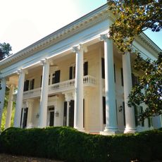
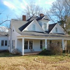
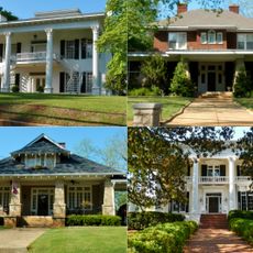
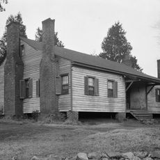
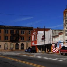
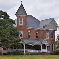
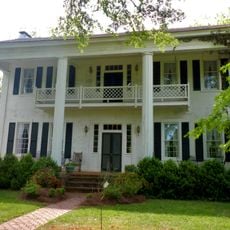
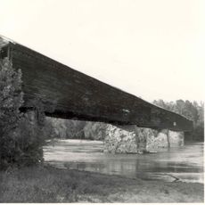
Randolph County is an administrative division in eastern Alabama comprising agricultural areas, residential neighborhoods, and public facilities that serve the local communities. The territory includes several towns and settlements connected by roads through forests and farmland.

The county was established in the early 1800s and named after John Randolph of Roanoke, a prominent Virginia politician of that era. This naming reflects the influence of early American political figures on the developing regions of the South.

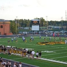
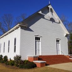
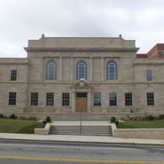
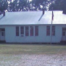
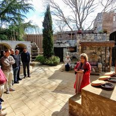
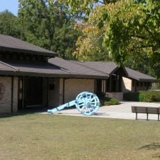
Public gathering spaces and community centers throughout the county serve as meeting points where residents come together for social events and shared activities. These places reflect how the local population maintains connections with one another.

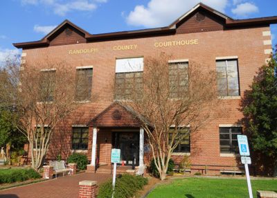
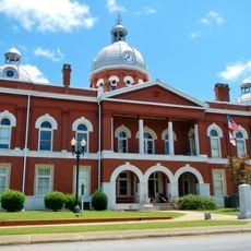
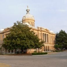
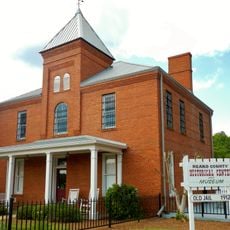
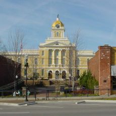
Government offices are centered in Winchester where residents handle administrative matters such as tax services and vehicle registration. It is helpful to check operating hours in advance since different offices may have different schedules.

The name Randolph is shared by eight different counties across the United States, reflecting how popular this name was when new administrative divisions were created. These parallel namings developed independently in different states during the nation's expansion westward.

GPS coordinates: 33.26518,-85.46940

Latest update: December 7, 2025 19:24

Photos
Around this place
Cheaha Mountain
United States of America

Cheaha Mountain

40 km
West Point Lake
United States of America

West Point Lake

44.5 km
Cheaha State Park
United States of America

Cheaha State Park

39.6 km
Hills and Dales Estate
United States of America

Hills and Dales Estate

46.5 km
University Stadium
United States of America

University Stadium

47.5 km
Bunker Tower
United States of America

Bunker Tower

40 km
Bellevue
United States of America

Bellevue

47.2 km
Grisham Stadium
United States of America

Grisham Stadium

49.1 km
County Line Baptist Church
United States of America

County Line Baptist Church

40.3 km
McCosh Grist Mill
United States of America

McCosh Grist Mill

28 km
John Morgan House
United States of America

John Morgan House

43.9 km
Chambers County Courthouse Square Historic District
United States of America

Chambers County Courthouse Square Historic District

41.2 km
Broad Street Historic District
United States of America

Broad Street Historic District

47.3 km
Ross Creek Bridge
United States of America

Ross Creek Bridge

39.6 km
Clay County Courthouse
United States of America

Clay County Courthouse

34.1 km
Dudley Snow House
United States of America

Dudley Snow House

47.6 km
Carroll County Courthouse
United States of America

Carroll County Courthouse

50.8 km
Dr. James L. Lovvorn House
United States of America

Dr. James L. Lovvorn House

36.4 km
Roanoke Downtown Historic District
United States of America

Roanoke Downtown Historic District

15.7 km
Veal School
United States of America

Veal School

29.1 km
Heard County Jail
United States of America

Heard County Jail

34.5 km
Walt Farr Native American Relic Museum
United States of America

Walt Farr Native American Relic Museum

39.4 km
Biblical History Center
United States of America

Biblical History Center

46.3 km
Cleburne County Courthouse
United States of America

Cleburne County Courthouse

44.2 km
Ernest McCarty Oliver House
United States of America

Ernest McCarty Oliver House

40.4 km
Liberty Hill
United States of America

Liberty Hill

36.2 km
Miller Covered Bridge
United States of America

Miller Covered Bridge

40.9 km
Horseshoe Bend National Military Park Visitor Center
United States of America

Horseshoe Bend National Military Park Visitor Center

40.1 km
Show the full map
Reviews

Visited this place? Tap the stars to rate it and share your experience / photos with the community! Try now! You can cancel it anytime.

« Randolph County - Administrative division in Alabama, United States » is provided by Around Us (aroundus.com). Images and texts are derived from Wikimedia project under a Creative Commons license. You are allowed to copy, distribute, and modify copies of this page, under the conditions set by the license, as long as this note is clearly visible.

Discover hidden gems everywhere you go!

From secret cafés to breathtaking viewpoints, skip the crowded tourist spots and find places that match your style. Our app makes it easy with voice search, smart filtering, route optimization, and insider tips from travelers worldwide. Download now for the complete mobile experience.

Around Us App Screenshot

A unique approach to discovering new places

Le Figaro

All the places worth exploring

France Info

A tailor-made excursion in just a few clicks

20 Minutes