Atlanta Beltline, Rail trail and greenway in Atlanta, United States.
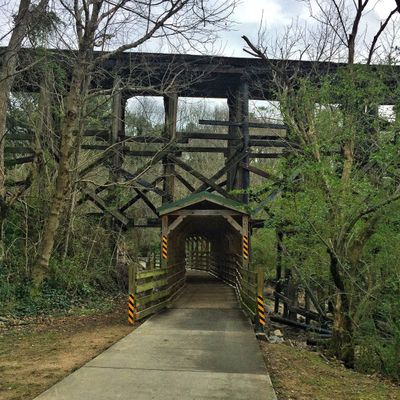
Atlanta Beltline is a network of trails and green spaces stretching roughly 22 miles through former railway corridors around central Atlanta. The route connects dozens of neighborhoods and passes through parks, residential areas and small commercial zones along the old tracks.
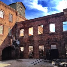
The railway corridors were built after the Civil War in the late 19th century to ease freight congestion in downtown Atlanta. The tracks lay dormant for decades until a 1999 master plan proposed converting them into an urban trail network.
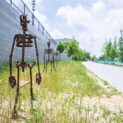
The name refers to a historic railway loop that once encircled the city and now serves as a continuous pedestrian route lined with art installations and murals. Local artists regularly create new works along the route, so visitors encounter changing sculptures and painted walls while walking.
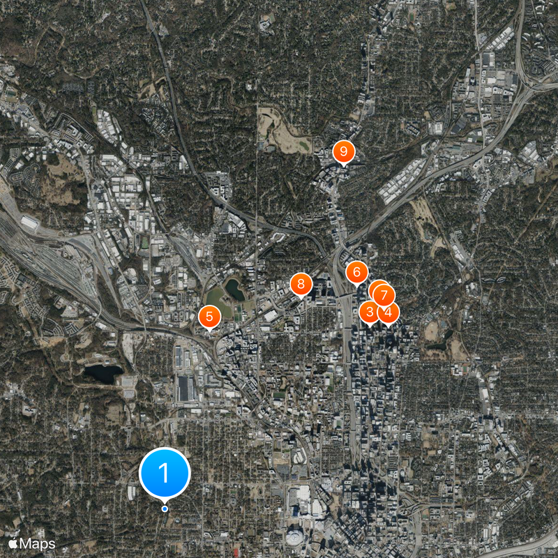
The route is accessible through numerous entry points, many located near metro stations or public parking areas. Those exploring longer sections should wear sturdy shoes and bring enough water, as some segments offer little shade.
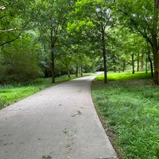
The complete loop is planned to reach over 33 miles when finished and will encompass more than 3200 acres of parkland. The sections already open show a mix of paved paths and unpaved trails winding through former industrial sites and wooded zones.
The community of curious travelers
AroundUs brings together thousands of curated places, local tips, and hidden gems, enriched daily by 60,000 contributors worldwide.