Chest opened
+${chestReward.xp} XP
Explorer
NOUVEAU ×${chestReward.collectible.quantity}
tapez pour fermer
Chest locked

Open chests in the app

Around Us is built for your phone — chests unlock when you walk, explore and capture nearby places.

Enable Location

We need your location to show you interesting places around you

Discover nearby places

Find interesting locations and hidden gems around you

Precise directions

Get accurate directions and distances to places

Your location is never shared with other users. It's only used when you tap the location button.

Log in to your account

Start exploring — it's free

Trusted by 73,094 travelers worldwide

Continue with Google
Continue with Apple
or

We will send you a code to connect

By continuing, you accept our Terms and Conditions and our Privacy Policy

Check your inbox

We've sent a pincode in your inbox. Please enter the code below.

High Hills of Santee
Discussion Reviews Photo
7.5k Popularity

High Hills of Santee, Chain of hills in Sumter County, South Carolina.

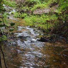
High Hills of Santee is a chain of hills between the coastal plain and the Wateree River valley, stretching roughly 25 miles long and 5 miles wide in this region. Several protected areas here include Poinsett State Park and Manchester State Forest, which offer multiple trail systems for outdoor activities.

English naturalist John Lawson first documented the area in 1701, noting its remarkable landscape features in his travels. This early exploration provided the first recorded accounts of the region's distinctive character.

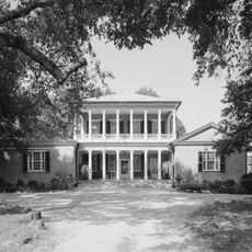
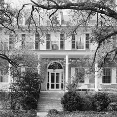
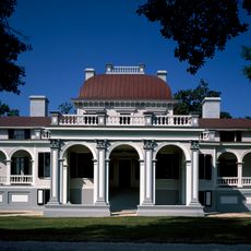
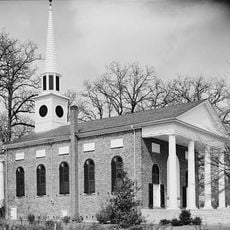
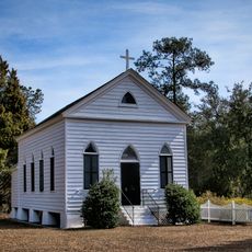
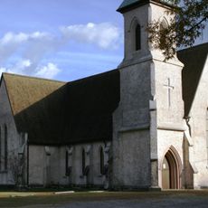
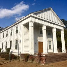
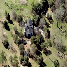
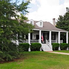
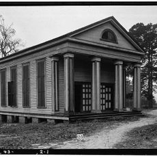
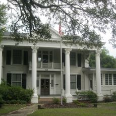
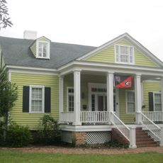
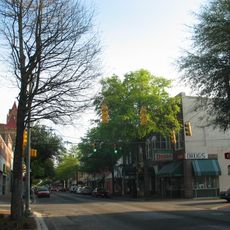
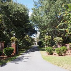
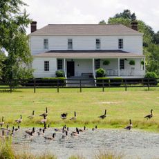
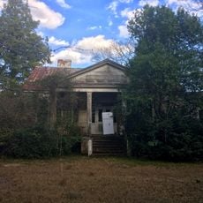
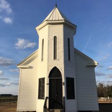
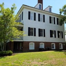
During the 1800s, wealthy planters made this area their permanent home, building cotton plantations and country estates that shaped how the land was used and inhabited.

Expect varied terrain and elevation changes when exploring the trails throughout the area. Visit during fall through spring for milder weather and better trail conditions.

The hills rise roughly 300 feet (90 meters) above the Wateree River and were shaped by an ancient seashore from millions of years ago. This geological formation offers visitors insight into the dramatic changes the region has undergone over deep time.

The community of curious travelers

AroundUs brings together thousands of curated places, local tips, and hidden gems, enriched daily by 60,000 contributors worldwide.

Start exploring
Location
GPS coordinates
33.98400,-80.54800
Latest update
December 10, 2025 15:46
Around this place
Millford Plantation
United States of America

Millford Plantation

26.2 km
Borough House Plantation
United States of America

Borough House Plantation

3.5 km
Poinsett State Park
United States of America

Poinsett State Park

19.8 km
Mulberry Plantation
United States of America

Mulberry Plantation

25.1 km
Kensington Plantation House
United States of America

Kensington Plantation House

15.9 km
Temple Sinai
United States of America

Temple Sinai

19.8 km
Bethesda Presbyterian Church
United States of America

Bethesda Presbyterian Church

29.7 km
Boykin Mill Complex
United States of America

Boykin Mill Complex

16.2 km
St. Philip's Episcopal Church
United States of America

St. Philip's Episcopal Church

17.4 km
Stateburg Historic District
United States of America

Stateburg Historic District

3.5 km
Good Hope Baptist Church
United States of America

Good Hope Baptist Church

15.9 km
Sumter County Courthouse
United States of America

Sumter County Courthouse

20.2 km
City of Camden Historic District
United States of America

City of Camden Historic District

29.7 km
Lincoln High School
United States of America

Lincoln High School

19.9 km
Heriot-Moise House
United States of America

Heriot-Moise House

22.3 km
Zachariah Cantey House
United States of America

Zachariah Cantey House

20.6 km
O'Donnell House
United States of America

O'Donnell House

20.6 km
Carnegie Public Library
United States of America

Carnegie Public Library

19.9 km
High Hills of Santee Baptist Church
United States of America

High Hills of Santee Baptist Church

1.3 km
Sumter Town Hall-Opera House
United States of America

Sumter Town Hall-Opera House

20.3 km
Henry Lee Scarborough House
United States of America

Henry Lee Scarborough House

20.1 km
Elizabeth White House
United States of America

Elizabeth White House

20.1 km
Sumter Historic District
United States of America

Sumter Historic District

20.3 km
Charles T. Mason House
United States of America

Charles T. Mason House

18.3 km
Thomas English House
United States of America

Thomas English House

20.9 km
Claudius Scott Cottage
United States of America

Claudius Scott Cottage

16.1 km
Richland Presbyterian Church
United States of America

Richland Presbyterian Church

21 km
Historic Camden Revolutionary War
United States of America

Historic Camden Revolutionary War

28.3 km
Show the full map
Reviews
Share your experience

No review yet

Discussions
Start a discussion...

No discussion yet

« High Hills of Santee - Chain of hills in Sumter County, South Carolina » is provided by Around Us (aroundus.com). Images and texts are derived from Wikimedia project under a Creative Commons license. You are allowed to copy, distribute, and modify copies of this page, under the conditions set by the license, as long as this note is clearly visible.

Discover hidden gems everywhere you go!

From secret cafés to breathtaking viewpoints, skip the crowded tourist spots and find places that match your style. Our app makes it easy with voice search, smart filtering, route optimization, and insider tips from travelers worldwide. Download now for the complete mobile experience.

Around Us App Screenshot

A unique approach to discovering new places

Le Figaro

All the places worth exploring

France Info

A tailor-made excursion in just a few clicks

20 Minutes

Around Us
Travel Guide & Maps
Download

Send to your phone

QR Code
1

Open the camera app on your mobile.

2

Point at the QR code with your camera. A notification will appear.

3

Tap the notification to open the link.