Chest opened
+${chestReward.xp} XP
Explorer
NOUVEAU ×${chestReward.collectible.quantity}
tapez pour fermer

See the monuments around you in AR Open chests in the app

Around Us is built for your phone — point your camera at the streets and discover the monuments and places around you in augmented reality. Around Us is built for your phone — chests unlock when you walk, explore and capture nearby places.

•

Enable Location

We need your location to show you interesting places around you

Discover nearby places

Find interesting locations and hidden gems around you

Precise directions

Get accurate directions and distances to places

Your location is never shared with other users. It's only used when you tap the location button.

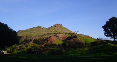
Corona Heights Park

Log in to your account

Start exploring — it's free

Trusted by 94,631 travelers worldwide

Continue with Google
Continue with Apple
or

We will send you a code to connect

By continuing, you accept our Terms and Conditions and our Privacy Policy

Check your inbox

We've sent a pincode in your inbox. Please enter the code below.

Corona Heights Park

Corona Heights Park, Park in San Francisco, United States

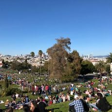
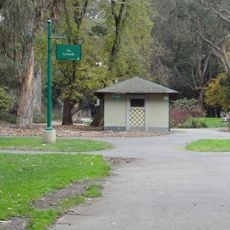
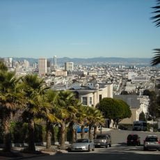
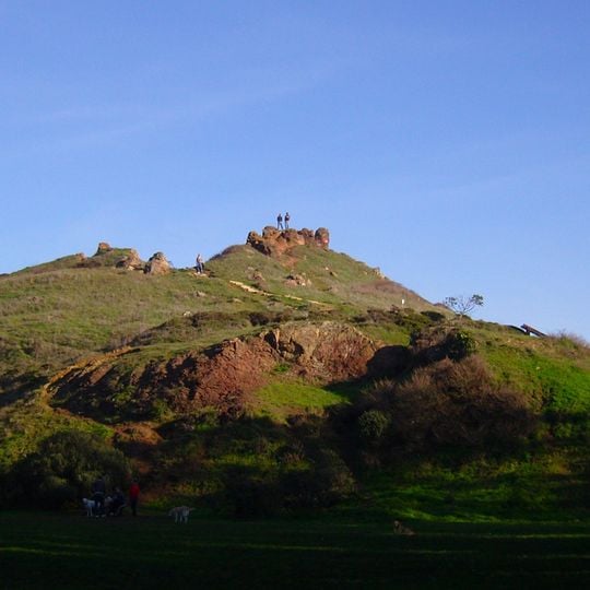
Corona Heights Park is a park in San Francisco, United States, known for its rocky hill and open lawns. The park features a red chert outcrop at the summit, offering views of the city and the bay.

The park was established in the early 20th century after the area was quarried for rock. Later, it became a public space, and the quarry was transformed into the park we see today.

Locals often hike up for a quick break, and the summit is a favorite spot for watching the sunset over the city. The park's name comes from the Corona Heights neighborhood, and the rocky outcrop is a landmark for residents.

Wear sturdy shoes for the steep, uneven paths, and bring water on warm days. The park is open daily, but the summit can be windy, so a light jacket is useful.

The red chert at the summit is a type of rock that formed deep under the ocean millions of years ago. Visitors can still see traces of the old quarry on the hillside.

The community of curious travelers

AroundUs brings together thousands of curated places, local tips, and hidden gems, enriched daily by 94,631 contributors worldwide.
Start exploring
Location
GPS coordinates
37.76470,-122.43900
Latest update
November 10, 2026 08:30
Around this place
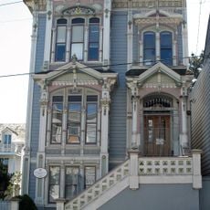
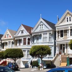
Painted Ladies
United States of America

Painted Ladies

0.9 mi
Mission San Francisco de Asís
United States of America

Mission San Francisco de Asís

0.7 mi
San Francisco Mint
United States of America

San Francisco Mint

0.7 mi
Mission Dolores Park
United States of America

Mission Dolores Park

0.7 mi
GLBT Historical Society
United States of America

GLBT Historical Society

0.3 mi
Panhandle
United States of America

Panhandle

0.9 mi
Buena Vista Park
United States of America

Buena Vista Park

0.3 mi
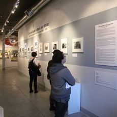
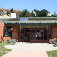
Randall Museum
United States of America

Randall Museum

210 ft
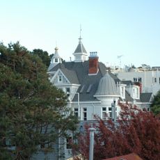
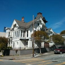
Alfred E. Clarke Mansion
United States of America

Alfred E. Clarke Mansion

0.4 mi
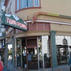
Twin Peaks Tavern
United States of America

Twin Peaks Tavern

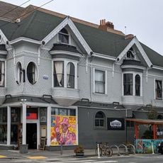
0.2 mi
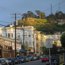
Tank Hill
United States of America

Tank Hill

0.6 mi
St. Joseph's Hospital
United States of America

St. Joseph's Hospital

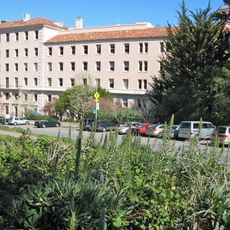
0.2 mi
Abner Phelps House
United States of America

Abner Phelps House

0.6 mi
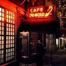
Cafe Du Nord
United States of America

Cafe Du Nord

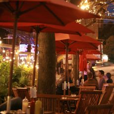
0.5 mi
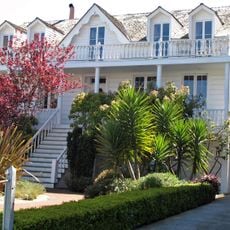
Nightingale House
United States of America

Nightingale House

0.8 mi
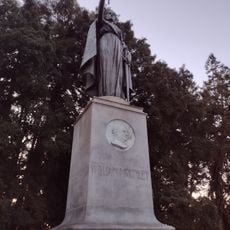
William McKinley Memorial (San Francisco)
United States of America

William McKinley Memorial (San Francisco)

0.6 mi
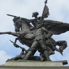
California Volunteers
United States of America

California Volunteers

0.7 mi
Mish House
United States of America

Mish House

0.6 mi
Second Church of Christ, Scientist
United States of America

Second Church of Christ, Scientist

0.8 mi
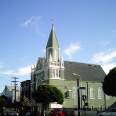
St. Matthew’s Lutheran Church
United States of America

St. Matthew’s Lutheran Church

0.7 mi
Theodore Green Apothecary
United States of America

Theodore Green Apothecary

0.7 mi
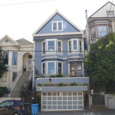
Maxime Leforestier's blue house
United States of America

Maxime Leforestier's blue house

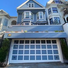
0.6 mi
Cafe Flore
United States of America

Cafe Flore

0.3 mi
Southern Pacific Company Hospital Historic District
United States of America

Southern Pacific Company Hospital Historic District

0.7 mi
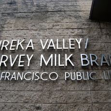
Eureka Valley - Harvey Milk Memorial Branch Library
United States of America

Eureka Valley - Harvey Milk Memorial Branch Library

0.4 mi
Maison bleue, San Francisco
United States of America

Maison bleue, San Francisco

0.6 mi
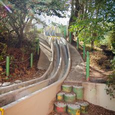
Seward Street Slides
United States of America

Seward Street Slides

0.5 mi
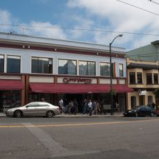
Castro Street Theatre
United States of America

Castro Street Theatre

0.3 mi
Show the full map
Reviews
Share your experience

No review yet

Discussions
Start a discussion...

No discussion yet

« Corona Heights Park - Park in San Francisco, United States » is provided by Around Us (aroundus.com). Images and texts are derived from Wikimedia project under a Creative Commons license. You are allowed to copy, distribute, and modify copies of this page, under the conditions set by the license, as long as this note is clearly visible.

Discover hidden gems everywhere you go!

From secret cafés to breathtaking viewpoints, skip the crowded tourist spots and find places that match your style. Our app makes it easy with voice search, smart filtering, route optimization, and insider tips from travelers worldwide. Download now for the complete mobile experience.
Around Us App Screenshot
❝

A unique approach to discovering new places❞

— Le Figaro

❝

All the places worth exploring❞

— France Info

❝

A tailor-made excursion in just a few clicks❞

— 20 Minutes

Around Us
Travel Guide & Maps
Download

Send to your phone

QR Code
1

Open the camera app on your mobile.

2

Point at the QR code with your camera. A notification will appear.

3

Tap the notification to open the link.