Chest opened
+${chestReward.xp} XP
Explorer
NOUVEAU ×${chestReward.collectible.quantity}
tapez pour fermer

See the monuments around you in AR Open chests in the app

Around Us is built for your phone — point your camera at the streets and discover the monuments and places around you in augmented reality. Around Us is built for your phone — chests unlock when you walk, explore and capture nearby places.

•

Enable Location

We need your location to show you interesting places around you

Discover nearby places

Find interesting locations and hidden gems around you

Precise directions

Get accurate directions and distances to places

Your location is never shared with other users. It's only used when you tap the location button.

Sweeney Ridge

Log in to your account

Start exploring — it's free

Trusted by 94,363 travelers worldwide

Continue with Google
Continue with Apple
or

We will send you a code to connect

By continuing, you accept our Terms and Conditions and our Privacy Policy

Check your inbox

We've sent a pincode in your inbox. Please enter the code below.

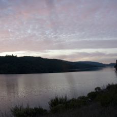
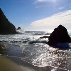
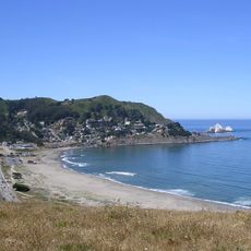
Sweeney Ridge, Hiking area of ridges and ravines in San Mateo County, California

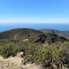
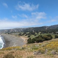
Sweeney Ridge is a 1,200-acre hiking area of ridges and ravines between San Bruno and Pacifica, its 1,200-foot summit covered with coastal scrub and grassland. The ridgetop has California coastal prairie with native grasses and patches of Douglas iris. Trails lead to abandoned buildings of the former SF-51C Nike missile control facility.

Sweeney Ridge holds the San Francisco Bay Discovery Site, where the Portolá expedition first sighted the bay on November 4, 1769. Later, the ridge hosted the SF-51C Nike missile control facility, whose abandoned buildings remain along the trail. The ridge is now part of the Golden Gate National Recreation Area.

The ridge is named after the Sweeney family, early settlers who lived in the area. Today, locals and visitors use the trails and summit as a place to step away from city life and connect with open land.

The main trailhead at Sneath Lane in San Bruno offers parking and easy access to multiple routes. Bring sturdy shoes and water, as the paths range from short walks under 1 mile to longer hikes exceeding 6 miles, and the area can be windy and cool even on sunny days.

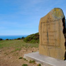
A granite monument near the summit marks the route of Portola, an early explorer who arrived from the south. The marker also identifies distant landmarks visible on clear days, including the Farallon Islands, Mount Tamalpais, Point Reyes, and Mount Diablo.

The community of curious travelers

AroundUs brings together thousands of curated places, local tips, and hidden gems, enriched daily by 94,363 contributors worldwide.

Start exploring
Location
GPS coordinates
37.61050,-122.45890
Latest update
October 25, 2026 17:15
Around this place
Devil's Slide
United States of America

Devil's Slide

4.2 mi
San Andreas Lake
United States of America

San Andreas Lake

2.4 mi
Gray Whale Cove State Beach
United States of America

Gray Whale Cove State Beach

4.3 mi
Pacifica State Beach
United States of America

Pacifica State Beach

2.4 mi
South San Francisco Hillside Sign
United States of America

South San Francisco Hillside Sign

4.3 mi
San Francisco Bay Discovery Site
United States of America

San Francisco Bay Discovery Site

0.4 mi
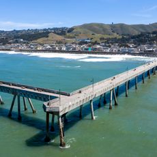
Pacifica Pier
United States of America

Pacifica Pier

2.5 mi
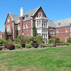
Kohl Mansion
United States of America

Kohl Mansion

4.6 mi
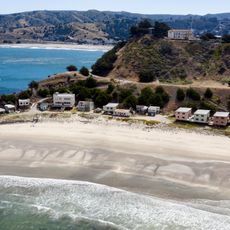
Shelter Cove, Pacifica, California
United States of America

Shelter Cove, Pacifica, California

3.2 mi
Pedro Mountain Road
United States of America

Pedro Mountain Road

2.8 mi
Sánchez Adobe Park
United States of America

Sánchez Adobe Park

2.5 mi
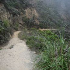
Devil's Slide Trail
United States of America

Devil's Slide Trail

3.7 mi
South San Francisco Public Library
United States of America

South San Francisco Public Library

3.1 mi
McNee Ranch State Park
United States of America

McNee Ranch State Park

4.3 mi
Peninsula Temple Sholom
United States of America

Peninsula Temple Sholom

4.1 mi
Gray Whale Cove State Beach
United States of America

Gray Whale Cove State Beach

4.4 mi
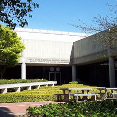
Leo J. Ryan Federal Building
United States of America

Leo J. Ryan Federal Building

2.4 mi
San Pedro Valley County Park
United States of America

San Pedro Valley County Park

2.6 mi
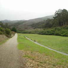
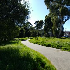
Spur Trail
United States of America

Spur Trail

3.7 mi
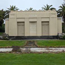
Salem Memorial Park and Garden
United States of America

Salem Memorial Park and Garden

4.6 mi
Every Beating Second
United States of America

Every Beating Second

4.2 mi
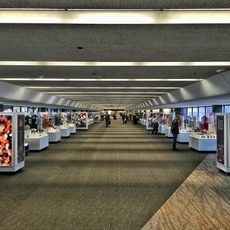
SFO Museum
United States of America

SFO Museum

4 mi
Sharp Park Beach
United States of America

Sharp Park Beach

2.4 mi
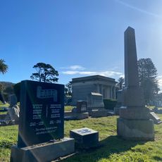
Wyatt Earp gravesite
United States of America

Wyatt Earp gravesite

4.5 mi
Devils Slide Beach
United States of America

Devils Slide Beach

4.4 mi
Wind Harp
United States of America

Wind Harp

5 mi
San Pedro Beach
United States of America

San Pedro Beach

2.5 mi
Sharp Park Beach
United States of America

Sharp Park Beach

2.5 mi
Show the full map
Reviews
Share your experience

No review yet

Discussions
Start a discussion...

No discussion yet

« Sweeney Ridge - Hiking area of ridges and ravines in San Mateo County, California » is provided by Around Us (aroundus.com). Images and texts are derived from Wikimedia project under a Creative Commons license. You are allowed to copy, distribute, and modify copies of this page, under the conditions set by the license, as long as this note is clearly visible.

Discover hidden gems everywhere you go!

From secret cafés to breathtaking viewpoints, skip the crowded tourist spots and find places that match your style. Our app makes it easy with voice search, smart filtering, route optimization, and insider tips from travelers worldwide. Download now for the complete mobile experience.
Around Us App Screenshot
❝

A unique approach to discovering new places❞

— Le Figaro

❝

All the places worth exploring❞

— France Info

❝

A tailor-made excursion in just a few clicks❞

— 20 Minutes

Around Us
Travel Guide & Maps
Download

Send to your phone

QR Code
1

Open the camera app on your mobile.

2

Point at the QR code with your camera. A notification will appear.

3

Tap the notification to open the link.