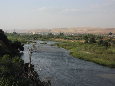
Salinas River, River system in Central Coast, California.
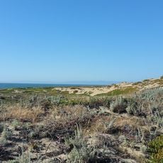
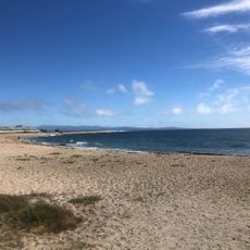
The Salinas River is a river system on California's central coast that flows northward through the region. It runs from the mountains of Los Padres National Forest to Monterey Bay while passing through various landscapes and communities.
Spanish explorers documented the river in 1769, noting its rich fish populations and how it supported local indigenous peoples. This early importance as a resource shaped the development of settlements throughout the region.
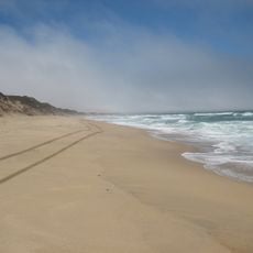
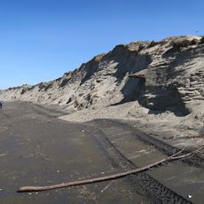
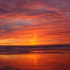
The river shapes the identity of multiple communities along its banks and supports agricultural traditions as well as recreational spaces for residents. It remains central to daily life in the region and connects people to the land.
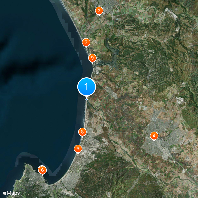
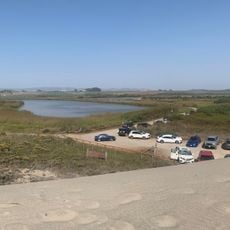
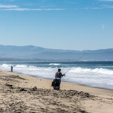
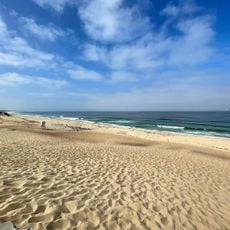
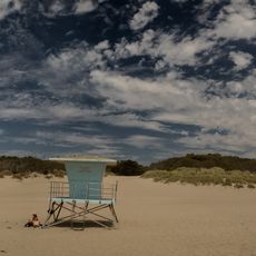
The river offers several access points for fishing, kayaking, and hiking along its banks. The best time to visit depends on weather and water conditions, so check ahead before planning your trip.
The river follows a geological path suggesting it once flowed closer to present-day Los Angeles before tectonic shifts moved it to its current location. This geotectonic history reveals how the landscape has shifted continuously over thousands of years.
The community of curious travelers
AroundUs brings together thousands of curated places, local tips, and hidden gems, enriched daily by 60,000 contributors worldwide.