Geological history of Point Lobos, Geological formation in Monterey County, California, United States.
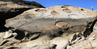
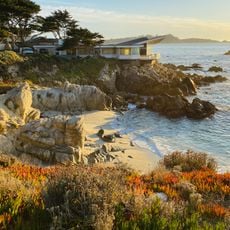
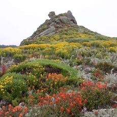
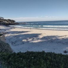
Geological history of Point Lobos showcases granite bedrock, marine sediments, and volcanic deposits layered along the Pacific coast near Monterey. The reserve provides observation areas where visitors can directly see the stacked geological layers and understand how they formed over deep time.
The Santa Lucia granite bedrock formed around 80 million years ago during the Cretaceous Period as the foundation for the site. Later marine deposits and volcanic layers accumulated on top as sea levels changed and tectonic forces reshaped the coastal landscape.
The coastal cliffs at Point Lobos reveal evidence of early settlements and shellfish gathering sites along the rocks and coves. These remains show how people lived with the ocean for thousands of years, taking what the waters provided.
Walking trails throughout the reserve lead to different rock formations and coastal viewpoints with clear geological features. Wear sturdy shoes and check weather conditions before visiting, as coastal winds and spray can be strong along the exposed cliffs.
Point Lobos sits on the Salinian Block, a crustal section positioned between two major tectonic plates that moves independently. This unusual location accounts for the complex mix of rock types found nowhere else in the region.
The community of curious travelers
AroundUs brings together thousands of curated places, local tips, and hidden gems, enriched daily by 60,000 contributors worldwide.