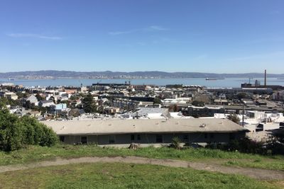
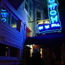
Dogpatch, Historic district in San Francisco, US
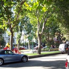
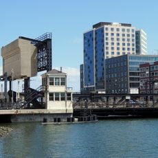
Dogpatch runs from Mariposa Street to Cesar Chavez Street along the eastern waterfront, with Interstate 280 and San Francisco Bay forming its borders. The neighborhood features wide streets lined with converted warehouses now housing galleries and lofts, while open green spaces and the Pier 70 area provide additional gathering spots.
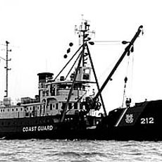
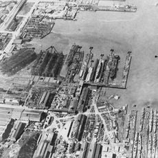
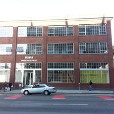
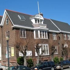
The neighborhood emerged in the 1850s as an industrial area where European immigrant workers settled near factories, shipyards, and meat processing plants. This working-class community defined the area for more than a century before its shift toward arts and culture.
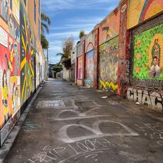
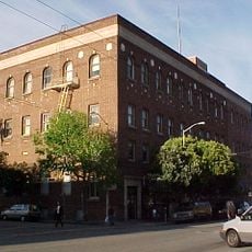
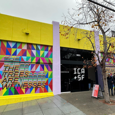
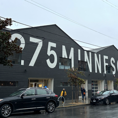
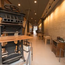
The Minnesota Street Project operates three warehouses as art galleries that now define the neighborhood as a creative hub. Visitors can explore exhibition spaces that have completely transformed the area's former industrial character.
The T Third Street light rail connects the area to downtown, and the 22nd Street Caltrain station serves regional transportation. Flat streets and short blocks make the neighborhood easy to explore on foot, especially when visiting galleries and local restaurants.
Residents created San Francisco's first Green Benefit District, enabling direct investment in local environmental improvements and street maintenance. This model demonstrates how a community can fund its own public spaces and natural areas.
The community of curious travelers
AroundUs brings together thousands of curated places, local tips, and hidden gems, enriched daily by 60,000 contributors worldwide.