Sacramento River, River system in Northern California, United States.
Sacramento River is a river system in Northern California that stretches 384 miles (617 kilometers) from Mount Shasta through the Sacramento Valley before joining the San Joaquin River in the Delta region. Its watershed includes mountain sources, agricultural plains, and urban areas connected by the long course of water.
The first European mention comes from Gabriel Moraga, who documented the river in 1808 during a Spanish exploration. Later it became a main water artery during the Gold Rush era and remained a key route for transport and supply to growing settlements.
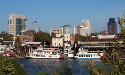
The river takes its name from a Spanish expedition that named it after a religious feast. Today it remains a visible part of daily life for cities and towns along its course, which use it for recreation and local water supply.
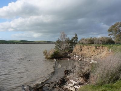
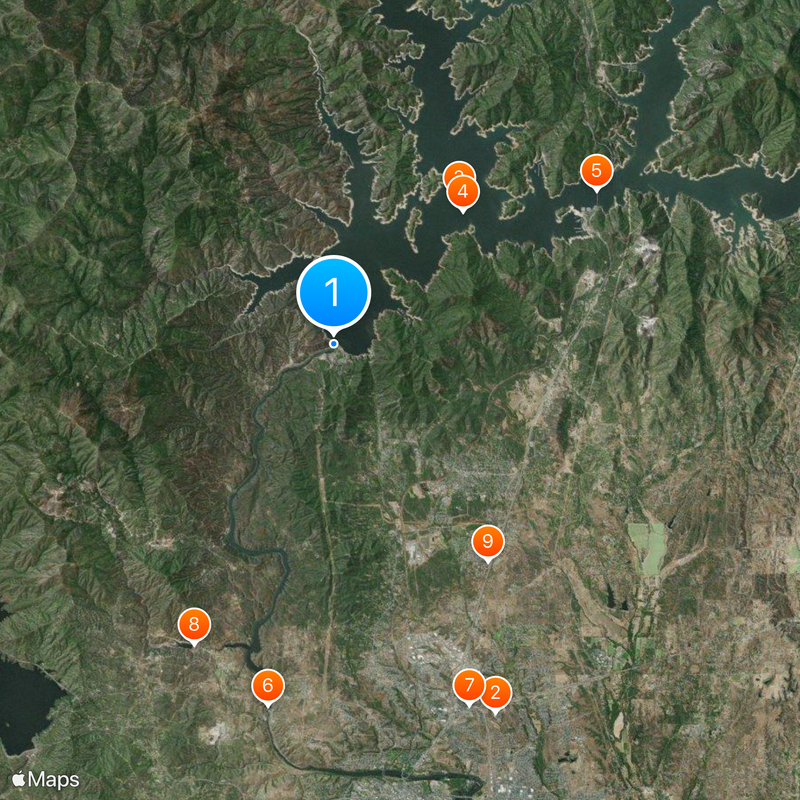
Access to riverside areas is available through several public parks and landings along the course, which often provide simple paths for walking and fishing spots. The current can vary greatly depending on the season and rainfall, so always watch for signs and local warnings.
This river forms the largest system entirely contained within California borders, without flowing into neighboring states. Its watershed also holds some of the highest peaks of the Cascade Range, which feed its headwaters.
The community of curious travelers
AroundUs brings together thousands of curated places, local tips, and hidden gems, enriched daily by 60,000 contributors worldwide.