Pit River, River system in northeastern California, United States.
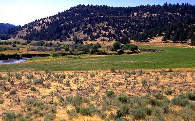
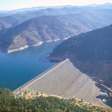
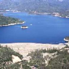
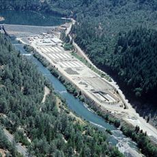
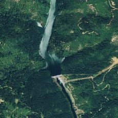
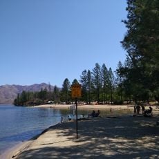
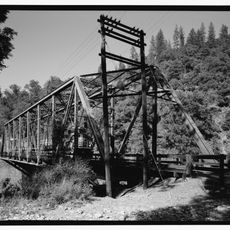
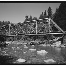
The Pit River is a river system in northeastern California that winds through volcanic highlands and steep canyons before emptying into Shasta Lake. The system features multiple waterfalls and creates a patchwork of rugged banks and forested valleys.
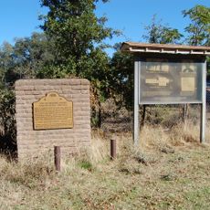
The area along this river was settled thousands of years ago by tribes like the Achomawi, who used the water and land resources to their advantage. Later, development during the 1800s shaped the valley and altered how the water moved through the landscape.
The Pit River held great importance for Native American tribes who built villages along its course and relied on its waters and surrounding forests for survival. Today, the river remains connected to the heritage and stories of the indigenous peoples who shaped the region.
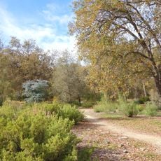
The area is accessible through several points along the river, where fishing for trout and other species is possible. Visitors should check on local catch regulations and plan their visit around water levels and seasonal conditions.
The river system unusually cuts through the Cascade Range, making it one of only a handful of waterways in the US that break through this mountain range. This feature makes it a notable geographical oddity in the western United States.
The community of curious travelers
AroundUs brings together thousands of curated places, local tips, and hidden gems, enriched daily by 60,000 contributors worldwide.