Chest opened
+${chestReward.xp} XP
Explorer
NOUVEAU ×${chestReward.collectible.quantity}
tapez pour fermer
Chest locked

Open chests in the app

Around Us is built for your phone — chests unlock when you walk, explore and capture nearby places.

Enable Location

We need your location to show you interesting places around you

Discover nearby places

Find interesting locations and hidden gems around you

Precise directions

Get accurate directions and distances to places

Your location is never shared with other users. It's only used when you tap the location button.

Rio Vista

Log in to your account

Start exploring — it's free

Trusted by 72,990 travelers worldwide

Continue with Google
Continue with Apple
or

We will send you a code to connect

By continuing, you accept our Terms and Conditions and our Privacy Policy

Check your inbox

We've sent a pincode in your inbox. Please enter the code below.

Discussion Reviews 1 Photos
32.9k Popularity

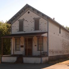
Rio Vista, River settlement in Solano County, California, United States.

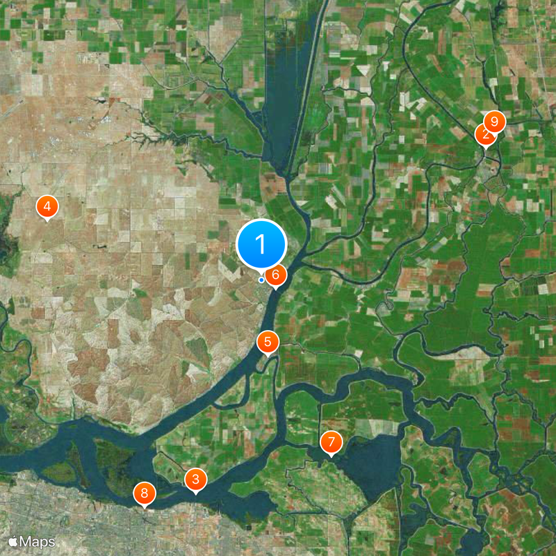
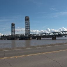
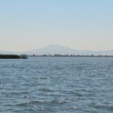
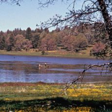
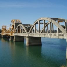
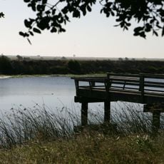
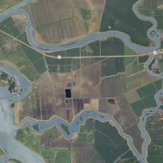
Rio Vista is a city in Solano County where the Sacramento River meets Cache Slough, spanning residential areas and riverside paths. The town blends urban layouts with direct access to waterways and natural habitats.

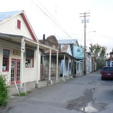
Colonel Nathan Davis founded the settlement in 1858 near Cache Slough, but a major flood in 1862 forced residents to relocate to higher ground. This relocation shaped the town's present layout.

The town's name reflects its position along a major waterway and carries Spanish roots tied to the region's landscape. Residents connect this identity to their dependence on the river and agricultural heritage.

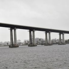
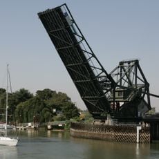
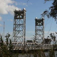
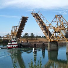
The town is easily accessible for visitors who want to explore the waterfront or enjoy proximity to nature. Plan time to walk the various paths along the waterways and experience views from the river.

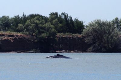
In 1985, a humpback whale named Humphrey swam far upstream into local waters, prompting a coordinated rescue effort. This unexpected visit became a defining moment that the community remembers to this day.

The community of curious travelers

AroundUs brings together thousands of curated places, local tips, and hidden gems, enriched daily by 60,000 contributors worldwide.

Start exploring
Location
Shares border with
Dixon, Antioch
GPS coordinates
38.16389,-121.69583
Latest update
December 20, 2025 00:02
Around this place
Locke
United States of America

Locke

18.9 km
Antioch Bridge
United States of America

Antioch Bridge

16.3 km
Western Railway Museum
United States of America

Western Railway Museum

16.2 km
United States of America

Brannan Island State Recreation Area

5.5 km
Rio Vista Bridge
United States of America

Rio Vista Bridge

1.2 km
Franks Tract State Recreation Area
United States of America

Franks Tract State Recreation Area

13.8 km
Antioch Dunes National Wildlife Refuge
United States of America

Antioch Dunes National Wildlife Refuge

18.6 km
Delta Meadows Park Property
United States of America

Delta Meadows Park Property

20 km
Isleton Bridge
United States of America

Isleton Bridge

9 km
United States of America

Hearst-Argyle Tower

21.2 km
Walnut Grove Japanese-American Historic District
United States of America

Walnut Grove Japanese-American Historic District

18.3 km
Hastings Adobe
United States of America

Hastings Adobe

15.3 km
Isleton Chinese and Japanese Commercial Districts
United States of America

Isleton Chinese and Japanese Commercial Districts

8 km
Twitchell Island
United States of America

Twitchell Island

7.3 km
Bouldin Island
United States of America

Bouldin Island

15.6 km
Roswell Butler Hard House
United States of America

Roswell Butler Hard House

19.4 km
Riverview Union High School Building
United States of America

Riverview Union High School Building

20 km
Bird and Dinkelspiel Store
United States of America

Bird and Dinkelspiel Store

15.6 km
Walnut Grove Bridge
United States of America

Walnut Grove Bridge

18.1 km
United States of America

Locke Historic District

18.9 km
Three Mile Slough Bridge
United States of America

Three Mile Slough Bridge

6.5 km
Paintersville Bridge
United States of America

Paintersville Bridge

20.1 km
United States of America

Walnut Grove Commercial-Residential Historic District

17.9 km
United States of America

Bethel Island Golf Course

16.5 km
United States of America

Yogi Bear's Jellystone Park Camp-Resort

18.5 km
United States of America

Statue, Work of art

15.4 km
United States of America

Ryer Island and Steamboat Slough

7.6 km
United States of America

Mt diablo view point over sac river

3.1 km
Show the full map
Reviews
Share your experience

No review yet

Discussions
Start a discussion...

No discussion yet

« Rio Vista - River settlement in Solano County, California, United States » is provided by Around Us (aroundus.com). Images and texts are derived from Wikimedia project under a Creative Commons license. You are allowed to copy, distribute, and modify copies of this page, under the conditions set by the license, as long as this note is clearly visible.

Discover hidden gems everywhere you go!

From secret cafés to breathtaking viewpoints, skip the crowded tourist spots and find places that match your style. Our app makes it easy with voice search, smart filtering, route optimization, and insider tips from travelers worldwide. Download now for the complete mobile experience.

Around Us App Screenshot

A unique approach to discovering new places

Le Figaro

All the places worth exploring

France Info

A tailor-made excursion in just a few clicks

20 Minutes

Around Us
Travel Guide & Maps
Download

Send to your phone

QR Code
1

Open the camera app on your mobile.

2

Point at the QR code with your camera. A notification will appear.

3

Tap the notification to open the link.