Enable Location

We need your location to show you interesting places around you

Discover nearby places

Find interesting locations and hidden gems around you

Precise directions

Get accurate directions and distances to places

Your location is never shared with other users. It's only used when you tap the location button.

Solano County

Log in to your account

Start exploring — it's free

Trusted by travelers worldwide

Continue with Google
Continue with Apple
or

We will send you a code to connect

By continuing, you accept our Terms and Conditions and our Privacy Policy

Check your inbox

We've sent a pincode in your inbox. Please enter the code below.

Solano County, Administrative county in North Bay, United States

Description

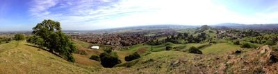
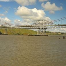
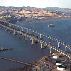
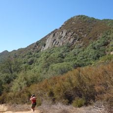
Solano County stretches across California territory between Sacramento and San Francisco Bay, covering land and water surfaces. The terrain connects two major metro areas through valleys, hills, and shoreline zones along rivers and tidal straits.

History

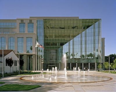
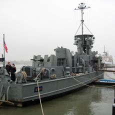
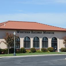
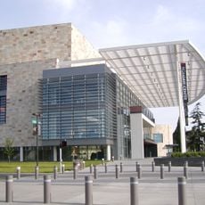
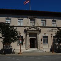
The administrative division formed in 1850 as one of California's original counties at statehood. Fairfield later became the seat of government, replacing earlier locations, while military installations expanded after World War II.

Culture

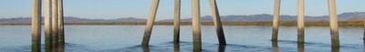
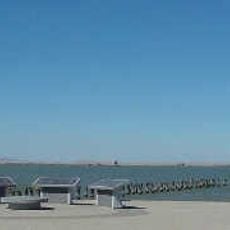
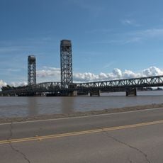
The name honors Chief Sem-Yeto, baptized Francisco Solano by Mexican missionaries, who led the Suisunes in the early 19th century. Residents today use waterways for recreation, and ferries connect towns along the bay shoreline.

Practical

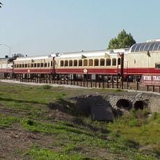
Interstate 80 crosses the area from east to west, linking all major towns. Public buses and ferry services run between waterfront communities and surrounding regions, so visitors can reach multiple locations in a single day.

Did you know?

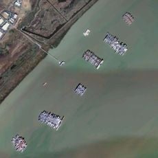
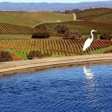
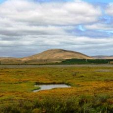
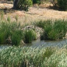
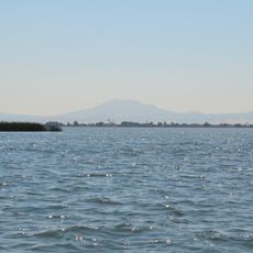
The bay shoreline runs through flat marshland that offers important stopover sites for migratory birds in autumn and winter. Some towns sit right at the edge of these wetlands, where visitors can watch waterfowl gather to feed.

Location
Inception
1850
Capital city
Fairfield
Part of
North Bay
Shares border with
Yolo County, Sacramento County, Contra Costa County, Napa County, Sonoma County
GPS coordinates
38.27000,-121.94000
Latest update
December 12, 2025 23:33

AroundUs brings together thousands of curated places, local tips, and hidden gems, enriched daily by 60,000 contributors worldwide. Discover all places nearby (California).

Around this place
The French Laundry
United States of America

The French Laundry

40 km
Monticello Dam
United States of America

Monticello Dam

30.7 km
National Defense Reserve Fleet
United States of America

National Defense Reserve Fleet

26 km
Carquinez Bridge
United States of America

Carquinez Bridge

34.2 km
Napa Valley Wine Train
United States of America

Napa Valley Wine Train

30.3 km
Benicia–Martinez Bridge
United States of America

Benicia–Martinez Bridge

30.2 km
Six Flags Discovery Kingdom
United States of America

Six Flags Discovery Kingdom

29.3 km
The Joker
United States of America

The Joker

29.5 km
Valle de Napa
United States of America

Valle de Napa

41.9 km
Medusa
United States of America

Medusa

29.5 km
Superman: Ultimate Flight
United States of America

Superman: Ultimate Flight

29.4 km
Port Chicago Naval Magazine National Memorial
United States of America

Port Chicago Naval Magazine National Memorial

25 km
USS LCS-102
United States of America

USS LCS-102

34.4 km
COPIA
United States of America

COPIA

30 km
USCGC Storis
United States of America

USCGC Storis

24.2 km
Roar
United States of America

Roar

29.5 km
Western Railway Museum
United States of America

Western Railway Museum

9.4 km
Milk Farm Restaurant
United States of America

Milk Farm Restaurant

25.1 km
San Pablo Bay National Wildlife Refuge
United States of America

San Pablo Bay National Wildlife Refuge

42.8 km
Mondavi Center
United States of America

Mondavi Center

33.8 km
United States of America

Glass Beach

31.2 km
United States of America

Skaggs Island Naval Communication Station

40.7 km
United States of America

Brannan Island State Recreation Area

27.8 km
The Flash: Vertical Velocity
United States of America

The Flash: Vertical Velocity

29.5 km
Benicia State Recreation Area
United States of America

Benicia State Recreation Area

31.1 km
Rio Vista Bridge
United States of America

Rio Vista Bridge

25.6 km
Franks Tract State Recreation Area
United States of America

Franks Tract State Recreation Area

36.1 km
Stebbins Cold Canyon Reserve
United States of America

Stebbins Cold Canyon Reserve

29.9 km
Show the full map
Administrative divisions
« Solano County - Administrative county in North Bay, United States » is provided by Around Us (aroundus.com). Images and texts are derived from Wikimedia project under a Creative Commons license. You are allowed to copy, distribute, and modify copies of this page, under the conditions set by the license, as long as this note is clearly visible.

Discover hidden gems everywhere you go!

From secret cafés to breathtaking viewpoints, skip the crowded tourist spots and find places that match your style. Our app makes it easy with voice search, smart filtering, route optimization, and insider tips from travelers worldwide. Download now for the complete mobile experience.

Around Us App Screenshot

A unique approach to discovering new places

Le Figaro

All the places worth exploring

France Info

A tailor-made excursion in just a few clicks

20 Minutes

Around Us
Travel Guide & Maps
Download

Send to your phone

QR Code
1

Open the camera app on your mobile.

2

Point at the QR code with your camera. A notification will appear.

3

Tap the notification to open the link.