Chest opened
+${chestReward.xp} XP
Explorer
NOUVEAU ×${chestReward.collectible.quantity}
tapez pour fermer
Chest locked

Open chests in the app

Around Us is built for your phone — chests unlock when you walk, explore and capture nearby places.

Enable Location

We need your location to show you interesting places around you

Discover nearby places

Find interesting locations and hidden gems around you

Precise directions

Get accurate directions and distances to places

Your location is never shared with other users. It's only used when you tap the location button.

Log in to your account

Start exploring — it's free

Trusted by 72,885 travelers worldwide

Continue with Google
Continue with Apple
or

We will send you a code to connect

By continuing, you accept our Terms and Conditions and our Privacy Policy

Check your inbox

We've sent a pincode in your inbox. Please enter the code below.

Discussion Reviews Photo
15k Popularity

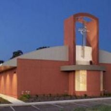
Shingle Springs, Census-designated place in El Dorado County, California.

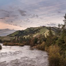
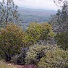
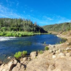
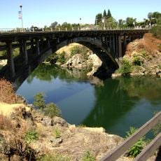
Shingle Springs is a small community located in the foothills of the Sierra Nevada mountains in Northern California. The settlement sits at an elevation of approximately 433 meters and serves as a rural locality within El Dorado County.

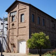
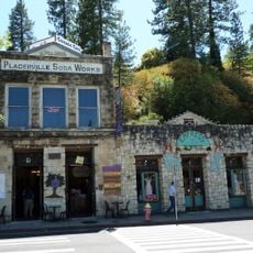
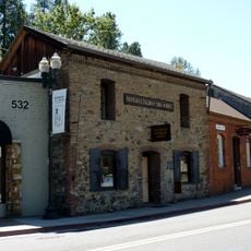
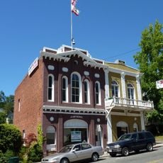
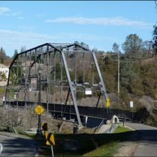
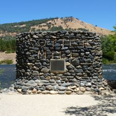
The settlement began in the 1850s during the California Gold Rush as an important stop for miners heading to the Sierra Nevada goldfields. This role along a major trading route shaped the area's early development.

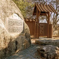
The Cemetery Administration of El Dorado County maintains historical records and preserves the local heritage through cemetery management programs.

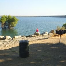
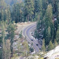
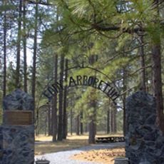
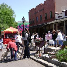
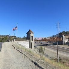
The area is accessible by regional roads and offers a quiet setting for visitors wanting to explore the countryside. The best time to visit is during spring through fall when the mountain region is most easily reached.

The area maintains a connection to its mining past through local residents who collect old finds and artifacts from the Gold Rush era. These personal collections often tell stories of the earliest inhabitants.

The community of curious travelers

AroundUs brings together thousands of curated places, local tips, and hidden gems, enriched daily by 60,000 contributors worldwide.

Start exploring
Location
Elevation above the sea
433 m
GPS coordinates
38.66583,-120.92611
Latest update
December 7, 2025 19:32
Around this place
American River
United States of America

American River

20.7 km
Folsom Lake
United States of America

Folsom Lake

19.1 km
U.S. Route 50 in California
United States of America

U.S. Route 50 in California

19.5 km
Folsom Dam
United States of America

Folsom Dam

20.6 km
United States of America

Mormon Island

17.1 km
Folsom Powerhouse State Historic Park
United States of America

Folsom Powerhouse State Historic Park

21.7 km
Folsom Lake State Recreation Area
United States of America

Folsom Lake State Recreation Area

19.4 km
Wakamatsu Tea and Silk Farm Colony
United States of America

Wakamatsu Tea and Silk Farm Colony

12.2 km
SeaQuest Folsom
United States of America

SeaQuest Folsom

17.1 km
United States of America

Folsom City Zoo Sanctuary

20.9 km
Pine Hill Ecological Reserve
United States of America

Pine Hill Ecological Reserve

8.2 km
John Pearson Soda Works
United States of America

John Pearson Soda Works

13.2 km
United States of America

Carpenter Hill

15.2 km
Fountain-Tallman Soda Works
United States of America

Fountain-Tallman Soda Works

13.2 km
Combellack-Blair House
United States of America

Combellack-Blair House

13.3 km
Cohn House
United States of America

Cohn House

21.6 km
Church of Our Saviour
United States of America

Church of Our Saviour

12.9 km
Faith Episcopal Church
United States of America

Faith Episcopal Church

7.5 km
Confidence Hall
United States of America

Confidence Hall

13.1 km
Eddy Arboretum
United States of America

Eddy Arboretum

13.1 km
Coloma Resort
United States of America

Coloma Resort

15.5 km
Chaparral Gardens
United States of America

Chaparral Gardens

12.8 km
Alden Memorial Bridge
United States of America

Alden Memorial Bridge

21.7 km
Sutter's Mill Site
United States of America

Sutter's Mill Site

15.6 km
Historic Opera House
United States of America

Historic Opera House

21.8 km
Oregon Bar
United States of America

Oregon Bar

24.8 km
Rainbow Bridge
United States of America

Rainbow Bridge

21.8 km
Johnny Cash Trail Bridge
United States of America

Johnny Cash Trail Bridge

19.2 km
Show the full map
Reviews
Share your experience

No review yet

Discussions
Start a discussion...

No discussion yet

« Shingle Springs - Census-designated place in El Dorado County, California » is provided by Around Us (aroundus.com). Images and texts are derived from Wikimedia project under a Creative Commons license. You are allowed to copy, distribute, and modify copies of this page, under the conditions set by the license, as long as this note is clearly visible.

Discover hidden gems everywhere you go!

From secret cafés to breathtaking viewpoints, skip the crowded tourist spots and find places that match your style. Our app makes it easy with voice search, smart filtering, route optimization, and insider tips from travelers worldwide. Download now for the complete mobile experience.

Around Us App Screenshot

A unique approach to discovering new places

Le Figaro

All the places worth exploring

France Info

A tailor-made excursion in just a few clicks

20 Minutes

Around Us
Travel Guide & Maps
Download

Send to your phone

QR Code
1

Open the camera app on your mobile.

2

Point at the QR code with your camera. A notification will appear.

3

Tap the notification to open the link.