
Soda Springs Road Bridge, Pony truss bridge in Placer County, California, USA; Placer County, California, USA
Location: Placer County
GPS coordinates: 39.24746,-120.35247
Latest update: September 23, 2025 16:56
Donner Pass
8.1 km
Donner Memorial State Park
12.5 km
Emigrant Gap
27.7 km
Hell Hole Reservoir
18.9 km
Ed Z'berg Sugar Pine Point State Park
29 km
Mount Pluto, California
18.4 km
French Meadows Reservoir
18.1 km
Boca Reservoir
27.3 km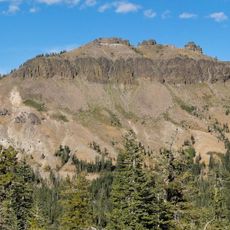
Castle Peak
13.1 km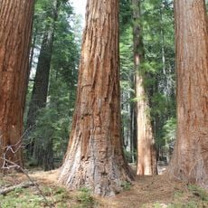
Placer County Big Trees Grove
28.5 km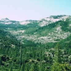
Granite Chief Wilderness
13.4 km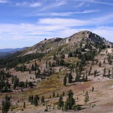
Granite Chief
7.9 km
Lake Spaulding Dam
26.6 km
Donner Peak
7.7 km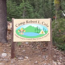
Camp Robert L. Cole
16.8 km
French Lake Reservoir
25.3 km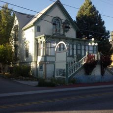
Kruger House
16.6 km
Rubicon Peak
34.5 km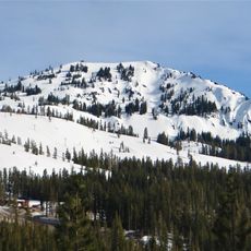
Mount Lincoln
5 km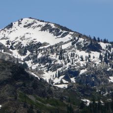
Tells Peak
33.1 km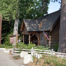
Watson Log Cabin
20.3 km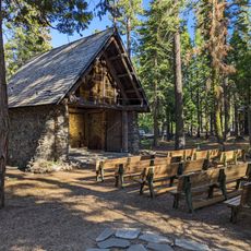
Chapel of the Transfiguration
20.6 km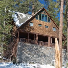
Withers Log House
30.3 km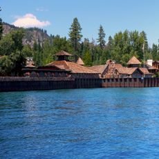
La Fleur du Lac
23 km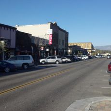
Commercial Row-Brickelltown Historic District
16.8 km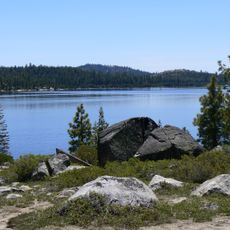
Loon Lake
28.9 km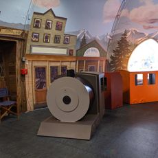
KidZone Museum
14.7 km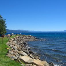
Burnt Cedar Beach
33.1 kmReviews
Visited this place? Tap the stars to rate it and share your experience / photos with the community! Try now! You can cancel it anytime.
Discover hidden gems everywhere you go!
From secret cafés to breathtaking viewpoints, skip the crowded tourist spots and find places that match your style. Our app makes it easy with voice search, smart filtering, route optimization, and insider tips from travelers worldwide. Download now for the complete mobile experience.

A unique approach to discovering new places❞
— Le Figaro
All the places worth exploring❞
— France Info
A tailor-made excursion in just a few clicks❞
— 20 Minutes