Chest opened
+${chestReward.xp} XP
Explorer
NOUVEAU ×${chestReward.collectible.quantity}
tapez pour fermer

See the monuments around you in AR Open chests in the app

Around Us is built for your phone — point your camera at the streets and discover the monuments and places around you in augmented reality. Around Us is built for your phone — chests unlock when you walk, explore and capture nearby places.

•

Enable Location

We need your location to show you interesting places around you

Discover nearby places

Find interesting locations and hidden gems around you

Precise directions

Get accurate directions and distances to places

Your location is never shared with other users. It's only used when you tap the location button.

Ishi Wilderness

Log in to your account

Start exploring — it's free

Trusted by 88,479 travelers worldwide

Continue with Google
Continue with Apple
or

We will send you a code to connect

By continuing, you accept our Terms and Conditions and our Privacy Policy

Check your inbox

We've sent a pincode in your inbox. Please enter the code below.

Discussion Reviews 1 Photos
7.3k Popularity

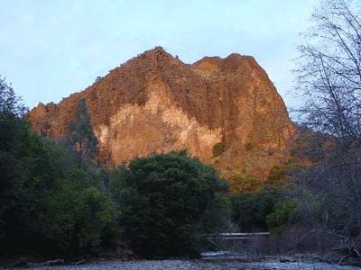
Ishi Wilderness, Protected wilderness area in Tehama County, United States.

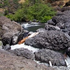
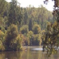
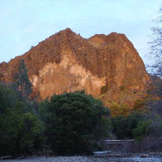
Ishi Wilderness is a large protected area in the Sierra foothills featuring steep canyons, rocky outcrops, and basalt formations. The terrain varies significantly in elevation, creating diverse environments with different vegetation and wildlife across the landscape.

The Yahi-Yana people lived here for thousands of years until displacement began in the 1800s. It became an official protected area in 1984 through legislation meant to preserve the landscape and its cultural heritage.

The name honors Ishi, the last member of the Yahi tribe who emerged from isolation in 1911. Walking through the area, you can find traces of Native American settlements and sacred sites scattered across the canyons.

The area has hiking trails through forests and along streams where visitors can explore on foot. Spring and fall offer the most comfortable conditions, with moderate temperatures and good trail accessibility.

The wilderness hosts California's largest population of migratory deer that moves through the canyons each year. The streams also support salmon and trout, making it an important habitat for fish species and wildlife watching.

The community of curious travelers

AroundUs brings together thousands of curated places, local tips, and hidden gems, enriched daily by 60,000 contributors worldwide.

Start exploring
Location
Operator
US Forest Service;BLM
GPS coordinates
40.11157,-121.77127
Latest update
September 17, 2026 04:51
Around this place
Bidwell Park
United States of America

Bidwell Park

22.5 mi
Abbey of New Clairvaux
United States of America

Abbey of New Clairvaux

19.6 mi
William B. Ide Adobe State Historic Park
United States of America

William B. Ide Adobe State Historic Park

24.7 mi
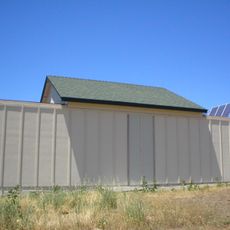
Chico Air Museum
United States of America

Chico Air Museum

21.8 mi
Chico Community Observatory
United States of America

Chico Community Observatory

23.6 mi
Butte Creek Ecological Reserve
United States of America

Butte Creek Ecological Reserve

18.9 mi
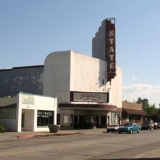
State Theatre
United States of America

State Theatre

24.9 mi
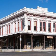
Odd Fellows Building
United States of America

Odd Fellows Building

24.9 mi
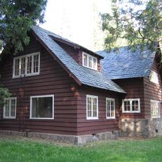
Park Headquarters, Lassen Volcanic National Park
United States of America

Park Headquarters, Lassen Volcanic National Park

18.3 mi
Old Bank of America Building
United States of America

Old Bank of America Building

24.9 mi
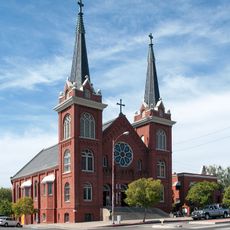
Saint Mary's Parish
United States of America

Saint Mary's Parish

24.8 mi
Lariat Bowl
United States of America

Lariat Bowl

24.5 mi
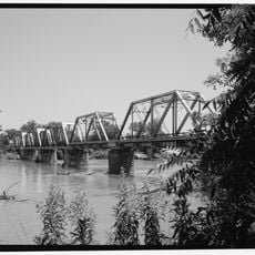
UP Sacramento River Bridge
United States of America

UP Sacramento River Bridge

19.3 mi
United States of America

Scenic viewpoint

16.6 mi
United States of America

Deadhorse Falls

13.1 mi
United States of America

Jed's Overlook

23.2 mi
United States of America

Scenic viewpoint

18.6 mi
United States of America

Waterfall

22.8 mi
United States of America

Waterfall

24.7 mi
United States of America

Bluff Falls

24.4 mi
United States of America

Scenic viewpoint

23.5 mi
United States of America

Monument featuring aircraft

21.8 mi
United States of America

Monument featuring aircraft

21.8 mi
United States of America

Monument featuring aircraft

21.8 mi
United States of America

Monument featuring aircraft

21.8 mi
United States of America

Monument featuring aircraft

21.8 mi
United States of America

Monument featuring aircraft

21.8 mi
United States of America

Monument featuring aircraft

21.8 mi
Show the full map
Reviews
Share your experience

No review yet

Discussions
Start a discussion...

No discussion yet

« Ishi Wilderness - Protected wilderness area in Tehama County, United States » is provided by Around Us (aroundus.com). Images and texts are derived from Wikimedia project under a Creative Commons license. You are allowed to copy, distribute, and modify copies of this page, under the conditions set by the license, as long as this note is clearly visible.

Discover hidden gems everywhere you go!

From secret cafés to breathtaking viewpoints, skip the crowded tourist spots and find places that match your style. Our app makes it easy with voice search, smart filtering, route optimization, and insider tips from travelers worldwide. Download now for the complete mobile experience.

Around Us App Screenshot
❝

A unique approach to discovering new places❞

— Le Figaro

❝

All the places worth exploring❞

— France Info

❝

A tailor-made excursion in just a few clicks❞

— 20 Minutes

Around Us
Travel Guide & Maps
Download

Send to your phone

QR Code
1

Open the camera app on your mobile.

2

Point at the QR code with your camera. A notification will appear.

3

Tap the notification to open the link.